

Global Weekly Snow Roundup #314
Weekly Global Snow News, updated 14 May 2026: Fresh snowfall in Argentina, Australia and Lesotho signals winter’s approach, while Japan maintains the world’s deepest snowpack.

Next 3 days weather summary:Moderate rain (total 17.0mm), heaviest on Mon night. Freeze-thaw conditions (max 11°C on Mon afternoon, min -2°C on Sat night). Wind will be generally light. | Days 4-6 weather summary:Light rain (total 8.0mm), mostly falling on Tue morning. Very mild (max 18°C on Thu afternoon, min 6°C on Tue night). Wind will be generally light. | |||||||||||||||||
Saturday 16 | Sunday 17 | Monday 18 | Tuesday 19 | Wednesday 20 | Thursday 21 | |||||||||||||
AM | PM | night | AM | PM | night | AM | PM | night | AM | PM | night | AM | PM | night | AM | PM | night | |
cloudy | light rain | rain shwrs | cloudy | some clouds | light rain | light rain | light rain | rain shwrs | light rain | light rain | light rain | rain shwrs | light rain | clear | some clouds | clear | clear | |
km/h | ||||||||||||||||||
Snow map |  |  |  |  |  |  | ||||||||||||
— | — | — | — | — | — | — | — | — | — | — | — | — | — | — | — | — | — | |
— | 2 | 1 | — | — | 1 | 1 | 5 | 7 | 1 | 2 | 2 | 1 | 2 | — | — | — | — | |
max °C | 3 | 4 | 4 | 7 | 10 | 8 | 10 | 11 | 8 | 7 | 8 | 8 | 9 | 13 | 11 | 15 | 18 | 15 |
min °C | 0 | 4 | -2 | 2 | 10 | 4 | 7 | 10 | 4 | 7 | 7 | 6 | 7 | 12 | 6 | 10 | 18 | 9 |
0 | 3 | -4 | 2 | 10 | 4 | 7 | 10 | 4 | 7 | 7 | 6 | 6 | 12 | 6 | 10 | 18 | 9 | |
78 | 78 | 82 | 64 | 54 | 79 | 66 | 72 | 87 | 91 | 93 | 94 | 87 | 69 | 77 | 47 | 46 | 74 | |
1550 | 1800 | 1450 | 2250 | 2450 | 2250 | 2450 | 2500 | 2250 | 2500 | 2750 | 2550 | 2700 | 2900 | 3550 | 3750 | 3800 | 3950 | |
6:03 | — | — | 6:01 | — | — | 6:01 | — | — | 6:00 | — | — | 5:58 | — | — | 5:58 | — | — | |
— | — | 8:58 | — | — | 8:59 | — | — | 9:00 | — | — | 9:00 | — | — | 9:02 | — | — | 9:04 | |
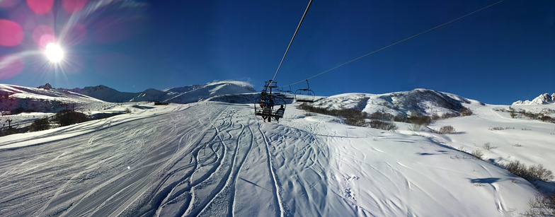
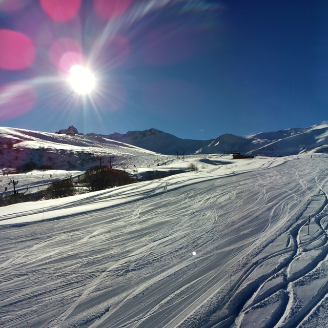
Latest snow reports near Valmorel:
Resort is closed for the season. Snowing lightly, refreshing pistes. from La Giettaz en Aravis
| Top snow depth: | — |
|---|---|
| Bottom snow depth: | — |
| Fresh snowfall depth: | 12 cm |
| Last snowfall: | 15 May 2026 |
| Snow Alerts | Create Alert |
0.0 | Bluebird Powder days Fresh snow, mostly sunny, light wind. |
|---|---|
0.0 | Powder days Fresh snow, limited sun, any wind. |
0.0 | Bluebird days Average snow, mostly sunny, light wind. |
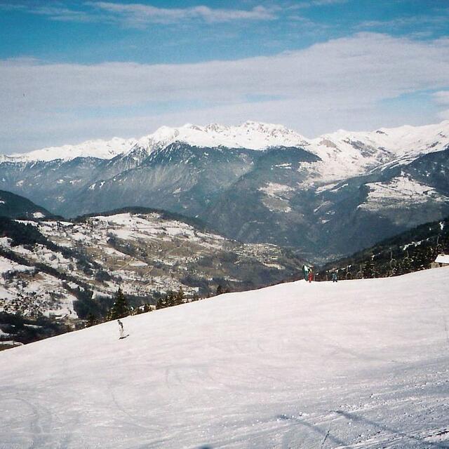

The above table gives the weather forecast for Valmorel at the specific elevation of 1250 m. Our sophisticated weather models allow us to provide snow forecasts for the top, middle and bottom ski stations of Valmorel. To access the weather forecasts for the other elevations, use the tab navigation above the table. For a wider view of the weather, check out the Weather Map of France.
Click here to read further information on freezing levels and how we forecast our temperatures.
Overall 4.1 Based on 34 votes and 14 reviews
Tres belle station avec une archtecture alpine. L ambiance est decontractee les pistes correspindent a tous niveaux et totes expisitions. L acces est facile de l autoroute. Seul bemol malgré beaucoup d animations familiales viress nocturnes limiteed.
frederic from France writes:
Tres belle station avec une archtecture alpine. L ambiance est decontractee les pistes correspindent a tous niveaux et totes expisitions. L acces est facile de l autoroute. Seul bemol malgré beaucoup d animations familiales viress nocturnes limiteed.


 Nearest