

Global Weekly Snow Roundup #314
Weekly Global Snow News, updated 14 May 2026: Fresh snowfall in Argentina, Australia and Lesotho signals winter’s approach, while Japan maintains the world’s deepest snowpack.

Next 3 days weather summary:Heavy rain (total 21.0mm), heaviest during Mon afternoon. Freeze-thaw conditions (max 10°C on Sun afternoon, min -3°C on Sat night). Wind will be generally light. | Days 4-6 weather summary:Light rain (total 3.0mm), mostly falling on Tue afternoon. Very mild (max 18°C on Thu afternoon, min 4°C on Tue morning). Wind will be generally light. | |||||||||||||||||
Saturday 16 | Sunday 17 | Monday 18 | Tuesday 19 | Wednesday 20 | Thursday 21 | |||||||||||||
AM | PM | night | AM | PM | night | AM | PM | night | AM | PM | night | AM | PM | night | AM | PM | night | |
light snow | light rain | rain shwrs | some clouds | rain shwrs | light rain | light rain | light rain | light rain | cloudy | light rain | light rain | some clouds | clear | some clouds | clear | clear | clear | |
km/h | ||||||||||||||||||
Snow map |  |  |  |  |  |  | ||||||||||||
— | — | — | — | — | — | — | — | — | — | — | — | — | — | — | — | — | — | |
— | 2 | 1 | — | 1 | 4 | 3 | 5 | 5 | — | 2 | 1 | — | — | — | — | — | — | |
max °C | 2 | 4 | 2 | 7 | 10 | 6 | 8 | 8 | 6 | 8 | 7 | 7 | 11 | 15 | 11 | 14 | 18 | 13 |
min °C | -2 | 3 | -3 | 3 | 8 | 4 | 5 | 7 | 4 | 4 | 7 | 4 | 6 | 15 | 6 | 8 | 17 | 8 |
-6 | 0 | -3 | 3 | 7 | 4 | 5 | 6 | 4 | 4 | 6 | 3 | 5 | 14 | 6 | 8 | 17 | 7 | |
79 | 79 | 89 | 52 | 74 | 90 | 71 | 76 | 98 | 76 | 94 | 97 | 67 | 58 | 90 | 48 | 43 | 65 | |
1600 | 1900 | 1500 | 2400 | 2550 | 2250 | 2400 | 2450 | 2250 | 2650 | 2800 | 3000 | 3150 | 3300 | 3700 | 3850 | 3850 | 4150 | |
6:03 | — | — | 6:03 | — | — | 6:01 | — | — | 6:00 | — | — | 5:58 | — | — | 5:58 | — | — | |
— | — | 8:57 | — | — | 8:58 | — | — | 8:59 | — | — | 9:00 | — | — | 9:00 | — | — | 9:02 | |
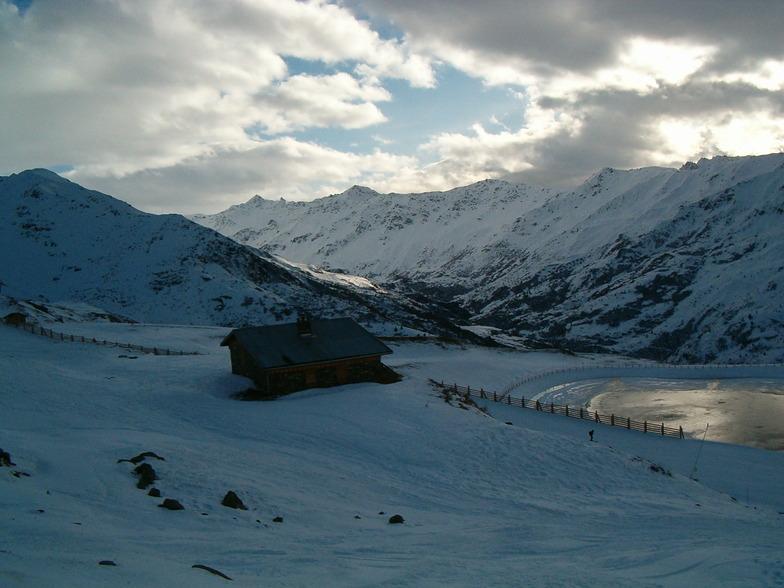
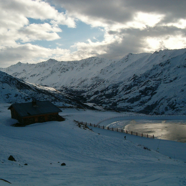
Latest snow reports near Valmeinier:
| Top snow depth: | — |
|---|---|
| Bottom snow depth: | — |
| Fresh snowfall depth: | 11 cm |
| Last snowfall: | 15 May 2026 |
| Snow Alerts | Create Alert |
0.0 | Bluebird Powder days Fresh snow, mostly sunny, light wind. |
|---|---|
0.0 | Powder days Fresh snow, limited sun, any wind. |
0.0 | Bluebird days Average snow, mostly sunny, light wind. |
The above table gives the weather forecast for Valmeinier at the specific elevation of 1500 m. Our sophisticated weather models allow us to provide snow forecasts for the top, middle and bottom ski stations of Valmeinier. To access the weather forecasts for the other elevations, use the tab navigation above the table. For a wider view of the weather, check out the Weather Map of France.
Click here to read further information on freezing levels and how we forecast our temperatures.
Overall 4.3 Based on 19 votes and 18 reviews
I have skied Valmeinier and Valloir at least half a dozen times and can thoroughly recommend it. Combined with Valloir it is certainly large enough and offers lots of varied skiing. My last time there was the week before shut down of the slopes due to Covid. I stay at the Snowcoach Hotel L'Aigle which is right next to the ski lifts. Of the ski firms I have used, Snowcoach has to be my favourite, offering by far the most value for money and providing things that I have not come across with any other firm. The slopes have decent lifts and queues have never been a problem. If you are a beginner there is a very wide slope off of the first chair lift that is ideal for beginners. I wish all the people and workers in Valmeinier and the staff of Snowcoach and Hotel L'Aigle all the best, and here's hoping we all get through this bloody pandemic safely. See you next year!
Dave WB from United Kingdom writes:
I have skied Valmeinier and Valloir at least half a dozen times and can thoroughly recommend it. Combined with Valloir it is certainly large enough and offers lots of varied skiing. My last time there was the week before shut down of the slopes due to Covid. I stay at the Snowcoach Hotel L'Aigle which is right next to the ski lifts. Of the ski firms I have used, Snowcoach has to be my favourite, offering by far the most value for money and providing things that I have not come across with any other firm.
The slopes have decent lifts and queues have never been a problem. If you are a beginner there is a very wide slope off of the first chair lift that is ideal for beginners.
I wish all the people and workers in Valmeinier and the staff of Snowcoach and Hotel L'Aigle all the best, and here's hoping we all get through this bloody pandemic safely. See you next year!


 Nearest