The above table gives the weather forecast for Taos at the specific elevation of 3601 m. Our sophisticated weather models allow us to provide snow forecasts for the top, middle and bottom ski stations of Taos. To access the weather forecasts for the other elevations, use the tab navigation above the table. For a wider view of the weather, check out the Weather Map of United States.
Click here to read further information on freezing levels and how we forecast our temperatures.
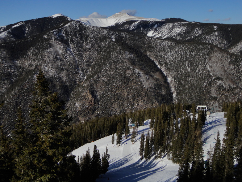
Taos is a fantastic mountain for intermediate to expert skiers. Double blacks will want to hike the ridge when it's open.
They do have a good ski school, but in my experience it isn't really a beginners mountain. The green trails are normally narrow traverses that tend to rattle beginners because there is little room to maneuvre & the more advanced skiers are typically flying by all around them.
The town of Taos is small & quiet. The food is great but not Mexican per se. Be ready for New Mexican food, covered in red or green chile sauce. Get a red chile breakfast burrito somewhere before you head out, there's no better breakfast for a day of skiing!
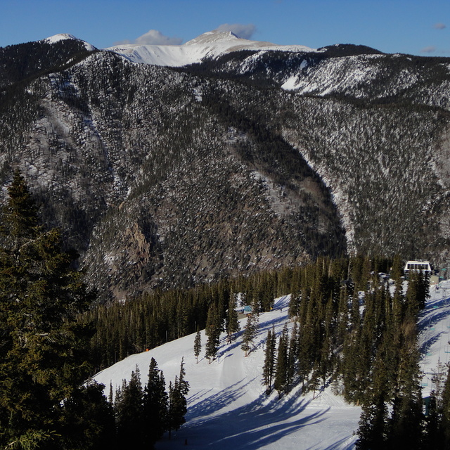
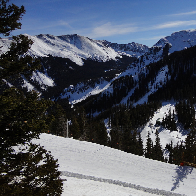
Free Snow-Forecast.com weather widget for your website
Embed the Taos weather widget on your site for free. It provides a weekly snapshot of snow and rain conditions across all elevations. Follow the two quick steps to grab your custom code and paste it into your site. Choose between metric or imperial units. Click here to get the code.


 Nearest