

Global Weekly Snow Roundup #314
Weekly Global Snow News, updated 14 May 2026: Fresh snowfall in Argentina, Australia and Lesotho signals winter’s approach, while Japan maintains the world’s deepest snowpack.

Next 3 days weather summary:Heavy rain (total 27.0mm), heaviest during Sat morning. Later becoming colder with a dusting of snow on Sun afternoon. Mild temperatures (max 6°C on Mon night, min 2°C on Sat morning). Winds decreasing (fresh winds from the NNE on Sat night, calm by Mon afternoon). | Days 4-6 weather summary:Moderate rain (total 15.0mm), heaviest on Thu morning. Very mild (max 10°C on Tue afternoon, min 6°C on Tue morning). Wind will be generally light. | |||||||||||||||||
Saturday 16 | Sunday 17 | Monday 18 | Tuesday 19 | Wednesday 20 | Thursday 21 | |||||||||||||
AM | PM | night | AM | PM | night | AM | PM | night | AM | PM | night | AM | PM | night | AM | PM | night | |
mod. rain | light snow | light rain | light rain | light snow | light rain | cloudy | light rain | clear | some clouds | clear | clear | cloudy | rain shwrs | rain shwrs | risk thun- der | risk thun- der | rain shwrs | |
km/h | ||||||||||||||||||
Snow map |  |  |  | 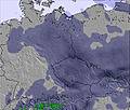 | 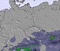 | 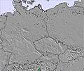 | ||||||||||||
— | 1 | — | — | 3 | — | — | — | — | — | — | — | — | — | — | — | — | — | |
9 | 3 | 5 | 4 | — | 4 | — | 2 | — | — | — | — | — | 2 | 4 | 2 | 4 | 3 | |
max °C | 2 | 2 | 3 | 3 | 2 | 3 | 3 | 5 | 6 | 7 | 10 | 9 | 9 | 10 | 10 | 9 | 10 | 10 |
min °C | 2 | 2 | 2 | 2 | 2 | 2 | 3 | 4 | 6 | 6 | 9 | 8 | 8 | 10 | 8 | 8 | 10 | 7 |
-2 | -2 | -4 | -4 | -3 | -2 | 0 | 3 | 5 | 4 | 9 | 7 | 7 | 10 | 6 | 5 | 8 | 4 | |
99 | 100 | 97 | 100 | 99 | 98 | 97 | 85 | 69 | 65 | 62 | 68 | 73 | 73 | 89 | 86 | 89 | 95 | |
1800 | 1800 | 1750 | 1750 | 1600 | 1900 | 1850 | 2200 | 2400 | 2400 | 2600 | 2650 | 2600 | 2700 | 2650 | 2600 | 2800 | 2750 | |
4:58 | — | — | 4:56 | — | — | 4:54 | — | — | 4:54 | — | — | 4:52 | — | — | 4:52 | — | — | |
— | — | 8:22 | — | — | 8:23 | — | — | 8:24 | — | — | 8:25 | — | — | 8:28 | — | — | 8:29 | |
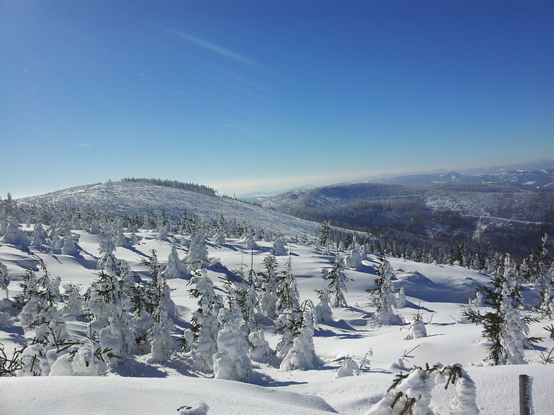
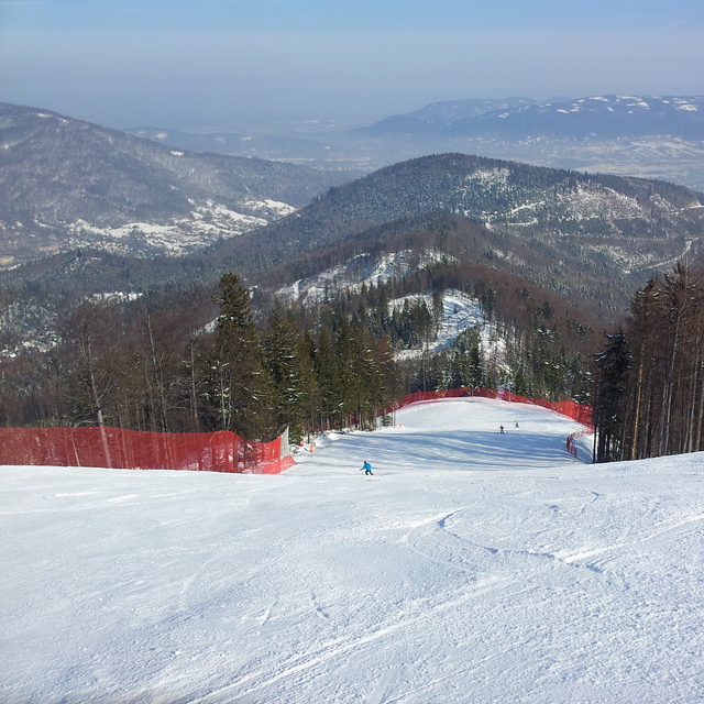
Latest snow reports near Szczyrk:
| Top snow depth: | 0 cm |
|---|---|
| Bottom snow depth: | 0 cm |
| Fresh snowfall depth: | — |
| Last snowfall: | 8 Apr 2026 |
| Snow Alerts | Create Alert |
0.0 | Bluebird Powder days Fresh snow, mostly sunny, light wind. |
|---|---|
0.1 | Powder days Fresh snow, limited sun, any wind. |
0.0 | Bluebird days Average snow, mostly sunny, light wind. |
The above table gives the weather forecast for Szczyrk at the specific elevation of 1258 m. Our sophisticated weather models allow us to provide snow forecasts for the top, middle and bottom ski stations of Szczyrk. To access the weather forecasts for the other elevations, use the tab navigation above the table. For a wider view of the weather, check out the Weather Map of Poland.
Click here to read further information on freezing levels and how we forecast our temperatures.
Overall 3.7 Based on 15 votes and 4 reviews
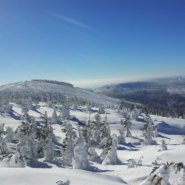
Szczyrk is a lovely, vibrant and kind community. Whenever we go, the slopes are always working and if the weather isn't always the best for snow sports then the snow-makers are vigorously working! There are local stores, churches and sports centres, that include a full sized (50m) swimming pool and outdoor athletics stadium. Staff at all facilities are always willing to help and there really isn't anything to complain about: cheap accommodation, facilities of all levels of difficulties and near-by stores! We will come here for years to come!
Olivia from United Kingdom writes:
Szczyrk is a lovely, vibrant and kind community. Whenever we go, the slopes are always working and if the weather isn't always the best for snow sports then the snow-makers are vigorously working! There are local stores, churches and sports centres, that include a full sized (50m) swimming pool and outdoor athletics stadium. Staff at all facilities are always willing to help and there really isn't anything to complain about: cheap accommodation, facilities of all levels of difficulties and near-by stores! We will come here for years to come!


 Nearest