The snow forecast for Superbagneres is: A light covering of new snow on Thu night turning to drizzle on Fri night. Freeze-thaw conditions (max 6°C on Sun morning, min -5°C on Thu night). Wind will be generally light.
Superbagneres Weather (Next 3 days): The snow forecast for Superbagneres is: A light covering of new snow on Thu night turning to drizzle on Fri night. Freeze-thaw conditions (max 6°C on Sun morning, min -5°C on Thu night). Wind will be generally light.
Superbagneres Weather (Days 4-6): Mostly dry. Mild temperatures (max 8°C on Tue morning, min 3°C on Sun night). Wind will be generally light.
Superbagneres Live Weather
Resort
Snow Depth
Temp. (°C)
Wind (km/h)
Weather
Top Lift:
0.0m
-7
Middle Lift:
-5
Bottom Lift:
0.0m
-4
Superbagneres Weather
(Next 3 days):
The snow forecast for Superbagneres is: A light covering of new snow on Thu night turning to drizzle on Fri night. Freeze-thaw conditions (max 6°C on Sun morning, min -5°C on Thu night). Wind will be generally light.
Superbagneres Weather (Days 4-6):
Mostly dry. Mild temperatures (max 8°C on Tue morning, min 3°C on Sun night). Wind will be generally light.
A light covering of new snow on Thu night turning to drizzle on Fri night. Freeze-thaw conditions (max 6°C on Sun morning, min -5°C on Thu night). Wind will be generally light.
Next 4-6 days weather summary:
Mostly dry. Mild temperatures (max 8°C on Tue morning, min 3°C on Sun night). Wind will be generally light.
The above table gives the weather forecast for Superbagneres at the specific elevation of 1850 m. Our sophisticated weather models allow us to provide snow forecasts for the top, middle and bottom ski stations of Superbagneres. To access the weather forecasts for the other elevations, use the tab navigation above the table. For a wider view of the weather, check out the Weather Map of France.
Click here to read further information on freezing levels and how we forecast our temperatures.
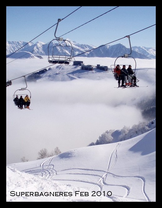
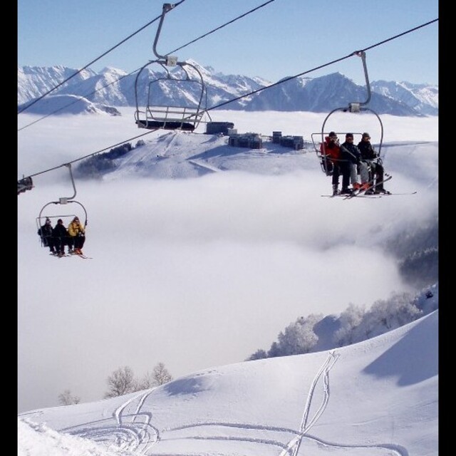
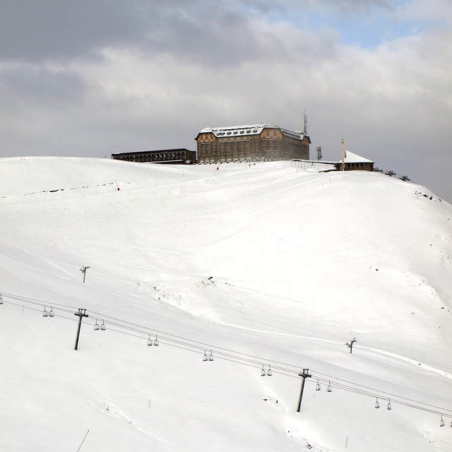
I guess that I got lucky when I skied in Superbagneres in January 2011. The snow that fell in late November had pretty much disappeared by early January apart from the well kept pistes. However, the day after we arrived we had 12 hours of heavy snow, giving a good 20cm+ on the mountain. The rest of the week was brilliant sunshine :-). However, this shouldn't disguise the fact that the snow is quite unreliable and the resort offers few challenging runs. Even though we had the new snow, a lot of runs remained closed when we were there and for an experienced skier boredom will quickly set in.
The restaurants next to the Grand Hotel at the top of the gondola are ok - usual French offerings - but definitely nothing special. I spotted a sign for a pizza restaurant which seemed to be part of the Grand Hotel but this was obviously in a previous life and was only offering warmed up burgers and chips.
Bagneres de Luchon is a great town though, offering something for most visitors. However, even there it is a bit dead compared to other resorts - much better in summer when it is geared up for cyclists!
Free Snow-Forecast.com weather widget for your website
Embed the Superbagneres weather widget on your site for free. It provides a weekly snapshot of snow and rain conditions across all elevations. Follow the two quick steps to grab your custom code and paste it into your site. Choose between metric or imperial units. Click here to get the code.


 Nearest