

Global Weekly Snow Roundup #314
Weekly Global Snow News, updated 14 May 2026: Fresh snowfall in Argentina, Australia and Lesotho signals winter’s approach, while Japan maintains the world’s deepest snowpack.

Next 3 days weather summary:Mostly dry. Freeze-thaw conditions (max 8°C on Fri afternoon, min -4°C on Sat night). Winds decreasing (fresh winds from the W on Sat afternoon, light winds from the ENE by Sun morning). | Days 4-6 weather summary:Light rain (total 5.0mm), mostly falling on Tue afternoon. Very mild (max 11°C on Thu morning, min 1°C on Mon night). Wind will be generally light. | ||||||||||||||||
Fri 15 | Saturday 16 | Sunday 17 | Monday 18 | Tuesday 19 | Wednesday 20 | ||||||||||||
PM | night | AM | PM | night | AM | PM | night | AM | PM | night | AM | PM | night | AM | PM | night | |
clear | some clouds | cloudy | some clouds | some clouds | cloudy | cloudy | cloudy | some clouds | some clouds | cloudy | light rain | light rain | rain shwrs | some clouds | cloudy | clear | |
km/h | |||||||||||||||||
Snow map |  |  | 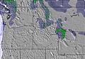 | 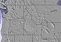 |  |  | |||||||||||
— | — | — | — | — | — | — | — | — | — | — | — | — | — | — | — | — | |
— | — | — | — | — | — | — | — | — | — | — | 1 | 3 | 1 | — | — | — | |
max °C | 8 | 4 | 5 | 5 | -1 | 0 | 3 | 0 | 2 | 6 | 4 | 4 | 5 | 3 | 7 | 9 | 8 |
min °C | 7 | 2 | 2 | 2 | -4 | -3 | 2 | -3 | -1 | 5 | 1 | 3 | 5 | 2 | 4 | 8 | 5 |
3 | -1 | -3 | -4 | -9 | -7 | -1 | -9 | -7 | 2 | 1 | 1 | 2 | 0 | 4 | 6 | 4 | |
25 | 47 | 57 | 39 | 57 | 46 | 32 | 68 | 42 | 23 | 40 | 48 | 59 | 77 | 56 | 48 | 62 | |
3250 | 2850 | 2550 | 2800 | 1700 | 1950 | 2500 | 2050 | 2100 | 2850 | 2800 | 2600 | 2800 | 2750 | 2800 | 3300 | 3350 | |
— | — | 6:11 | — | — | 6:09 | — | — | 6:09 | — | — | 6:07 | — | — | 6:07 | — | — | |
8:54 | — | — | 8:55 | — | — | 8:57 | — | — | 8:58 | — | — | 8:59 | — | — | — | 9:00 | |
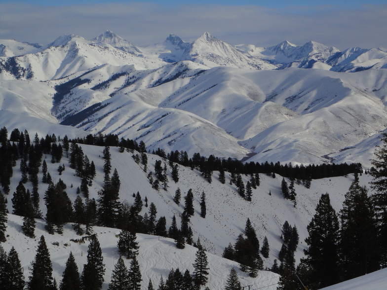
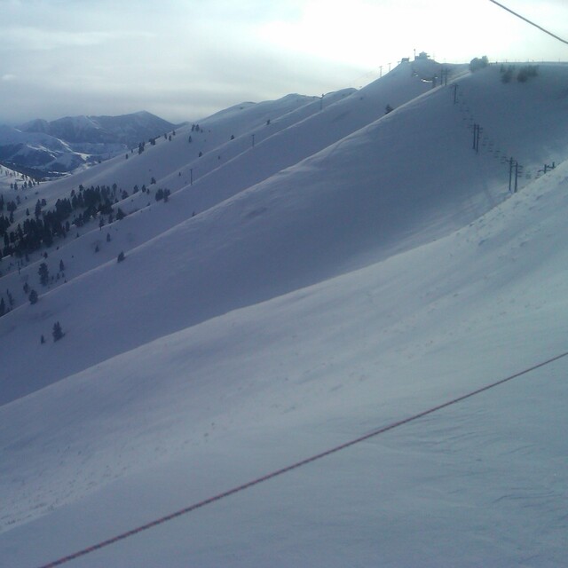
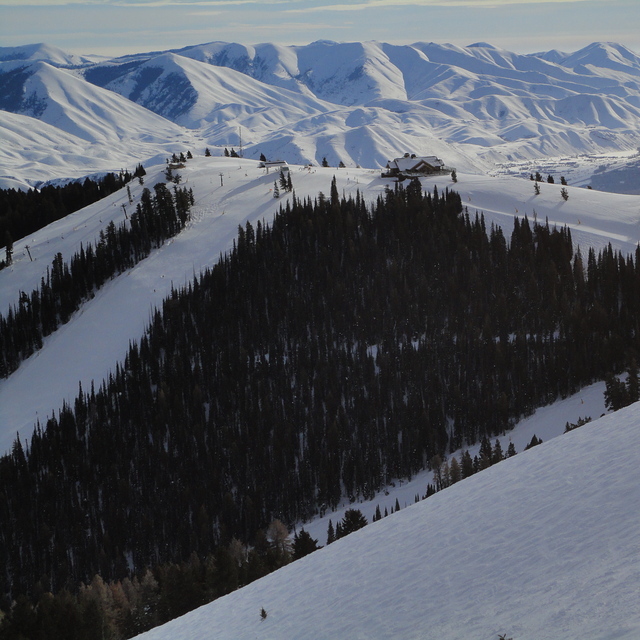
Latest snow reports near Sun Valley:
| Top snow depth: | — |
|---|---|
| Bottom snow depth: | — |
| Fresh snowfall depth: | — |
| Last snowfall: | 26 Apr 2026 |
| Snow Alerts | Create Alert |
0.0 | Bluebird Powder days Fresh snow, mostly sunny, light wind. |
|---|---|
0.1 | Powder days Fresh snow, limited sun, any wind. |
0.0 | Bluebird days Average snow, mostly sunny, light wind. |
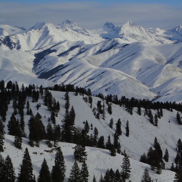
The above table gives the weather forecast for Sun Valley at the specific elevation of 2262 m. Our sophisticated weather models allow us to provide snow forecasts for the top, middle and bottom ski stations of Sun Valley. To access the weather forecasts for the other elevations, use the tab navigation above the table. For a wider view of the weather, check out the Weather Map of United States.
Click here to read further information on freezing levels and how we forecast our temperatures.
Overall 4.4 Based on 19 votes and 9 reviews
Sun Valley is not a good place for beginners unless they stay on Dollar Mountain which has only a 650 foot vertical drop. On Bald Mountain, most of the green runs are actually intermediate blue runs. Some of the catwalks are scary because of hairpin turns on speedy downhill paths. The Warm Springs area should be avoided in the morning due to lack of sunlight and the resulting flat lighting. The food is pricey, hot dog is $15, small bowl of soup is $13. I think you get the idea. Last but not least, the resort needs to turn on the snow guns more often. In a week's time I did not see any evidence of manmade snow. The grooming tractor operators must have been on strike the week I was there. The slow zones are not monitored by the ski patrol folks. As a result too many skiers just went as fast as they wanted to, which was disappointing.
Bruce Rehberger from United States writes:
Sun Valley is not a good place for beginners unless they stay on Dollar Mountain which has only a 650 foot vertical drop. On Bald Mountain, most of the green runs are actually intermediate blue runs. Some of the catwalks are scary because of hairpin turns on speedy downhill paths. The Warm Springs area should be avoided in the morning due to lack of sunlight and the resulting flat lighting. The food is pricey, hot dog is $15, small bowl of soup is $13. I think you get the idea. Last but not least, the resort needs to turn on the snow guns more often. In a week's time I did not see any evidence of manmade snow. The grooming tractor operators must have been on strike the week I was there. The slow zones are not monitored by the ski patrol folks. As a result too many skiers just went as fast as they wanted to, which was disappointing.


 Nearest