

Global Weekly Snow Roundup #318
Weekly Snow News for the world, updated 11 June 2026: Australia's season begins, Val d’Isère reopens and major snowfall is forecast for the Andes.

Next 4 days weather summary:Light rain (total 2.0mm), mostly falling on Fri afternoon. Freeze-thaw conditions (max 18°C on Sun afternoon, min 0°C on Thu night). Wind will be generally light. | Days 5-7 weather summary:Light rain (total 8.0mm), mostly falling on Tue night. Very mild (max 19°C on Wed afternoon, min 4°C on Mon night). Wind will be generally light. | |||||||||||||||
Friday 12 | Saturday 13 | Sunday 14 | Monday 15 | Tuesday 16 | ||||||||||||
night | AM | PM | night | AM | PM | night | AM | PM | night | AM | PM | night | AM | PM | night | |
cloudy | cloudy | light rain | some clouds | clear | clear | clear | clear | clear | clear | rain shwrs | rain shwrs | rain shwrs | clear | rain shwrs | rain shwrs | |
km/h | ||||||||||||||||
Snow map |  |  |  |  |  |  | ||||||||||
— | — | — | — | — | — | — | — | — | — | — | — | — | — | — | — | |
— | — | 2 | — | — | — | — | — | — | — | 1 | 2 | 1 | — | 1 | 3 | |
max °C | 6 | 9 | 8 | 7 | 14 | 17 | 13 | 16 | 18 | 14 | 14 | 16 | 12 | 13 | 15 | 12 |
min °C | 0 | 4 | 8 | 4 | 9 | 16 | 6 | 11 | 17 | 6 | 10 | 15 | 4 | 8 | 15 | 6 |
-2 | 2 | 7 | 2 | 8 | 16 | 5 | 11 | 17 | 5 | 10 | 15 | 3 | 8 | 15 | 6 | |
76 | 76 | 85 | 86 | 40 | 29 | 50 | 36 | 32 | 67 | 46 | 38 | 71 | 33 | 43 | 75 | |
2750 | 3150 | 3450 | 3550 | 3700 | 4000 | 3850 | 3850 | 4050 | 3750 | 3550 | 3700 | 3350 | 3450 | 3750 | 3550 | |
— | 5:24 | — | — | 5:24 | — | — | 5:24 | — | — | 5:24 | — | — | 5:24 | — | — | |
— | — | — | 9:09 | — | — | 9:10 | — | — | 9:10 | — | — | 9:12 | — | — | 9:12 | |
Go pro and carve into:
Avalanche information: European Avalanche Warning Services (EAWS)
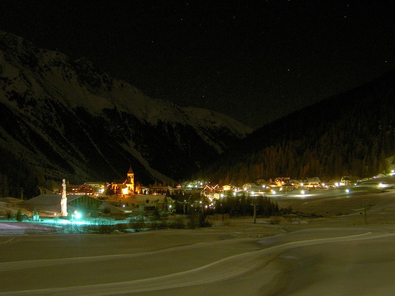
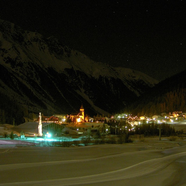
Latest snow reports near Sulden:
| Top snow depth: | 0 cm |
|---|---|
| Bottom snow depth: | 0 cm |
| Fresh snowfall depth: | 17 cm |
| Last snowfall: | 10 Jun 2026 |
| Snow Alerts | Create Alert |
0.0 | Bluebird Powder days Fresh snow, mostly sunny, light wind. |
|---|---|
0.0 | Powder days Fresh snow, limited sun, any wind. |
0.0 | Bluebird days Average snow, mostly sunny, light wind. |
The above table gives the weather forecast for Sulden at the specific elevation of 1900 m. Our sophisticated weather models allow us to provide snow forecasts for the top, middle and bottom ski stations of Sulden. To access the weather forecasts for the other elevations, use the tab navigation above the table. For a wider view of the weather, check out the Weather Map of Italy.
Click here to read further information on freezing levels and how we forecast our temperatures.
Overall 4.2 Based on 16 votes and 1 review
Most of the piste are open. Great conditions due to 50 cm of powder.
Luigi Arcari from Italy writes:
Most of the piste are open. Great conditions due to 50 cm of powder.


 Nearest