

Portillo Storm Snowfall Total Passes 5m / 17 Feet
A snow storm that has now continued for nine days has taken Chilean ski resort Portillo to a snowfall total of 5.2 metres (17 feet) so far, with more snow forecast.

Next 3 days weather summary:Light rain (total 3.0mm), mostly falling on Thu morning. Very mild (max 15°C on Thu morning, min 9°C on Thu night). Wind will be generally light. | Days 4-6 weather summary:Light rain (total 6.0mm), mostly falling on Tue morning. Very mild (max 19°C on Mon morning, min 13°C on Mon night). Wind will be generally light. | |||||||||||||||||
Thursday 30 | Friday 31 | Saturday 1 | Sunday 2 | Monday 3 | Tuesday 4 | |||||||||||||
AM | PM | night | AM | PM | night | AM | PM | night | AM | PM | night | AM | PM | night | AM | PM | night | |
rain shwrs | clear | some clouds | some clouds | rain shwrs | rain shwrs | some clouds | some clouds | some clouds | cloudy | cloudy | cloudy | cloudy | cloudy | light rain | light rain | cloudy | some clouds | |
km/h | ||||||||||||||||||
Snow map | 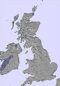 | 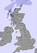 |  | 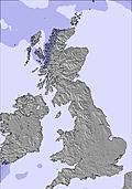 | 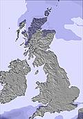 | 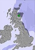 | ||||||||||||
— | — | — | — | — | — | — | — | — | — | — | — | — | — | — | — | — | — | |
mm | 1 | — | — | — | 1 | 1 | — | — | — | — | — | — | — | — | 3 | 3 | — | — |
max °C | 15 | 15 | 10 | 14 | 15 | 11 | 14 | 15 | 12 | 18 | 18 | 15 | 19 | 17 | 17 | 15 | 17 | 14 |
min °C | 14 | 15 | 9 | 13 | 13 | 9 | 12 | 15 | 10 | 15 | 15 | 14 | 17 | 17 | 13 | 13 | 16 | 13 |
chill °C | 13 | 14 | 9 | 11 | 12 | 8 | 11 | 14 | 10 | 15 | 15 | 14 | 17 | 17 | 13 | 13 | 16 | 13 |
Humid % | 75 | 60 | 73 | 66 | 63 | 76 | 74 | 59 | 74 | 58 | 50 | 63 | 57 | 67 | 67 | 92 | 78 | 87 |
Freeze m | 2800 | 2600 | 2450 | 2100 | 2250 | 2350 | 2600 | 3100 | 3150 | 3150 | 2950 | 3050 | 2950 | 3150 | 3100 | 3100 | 3200 | 3100 |
5:28 | — | — | 5:31 | — | — | 5:31 | — | — | 5:33 | — | — | 5:35 | — | — | 5:37 | — | — | |
— | 9:14 | — | — | 9:13 | — | — | 9:10 | — | — | 9:08 | — | — | 9:07 | — | — | 9:06 | — | |
Go pro and carve into:
Avalanche information: European Avalanche Warning Services (EAWS)
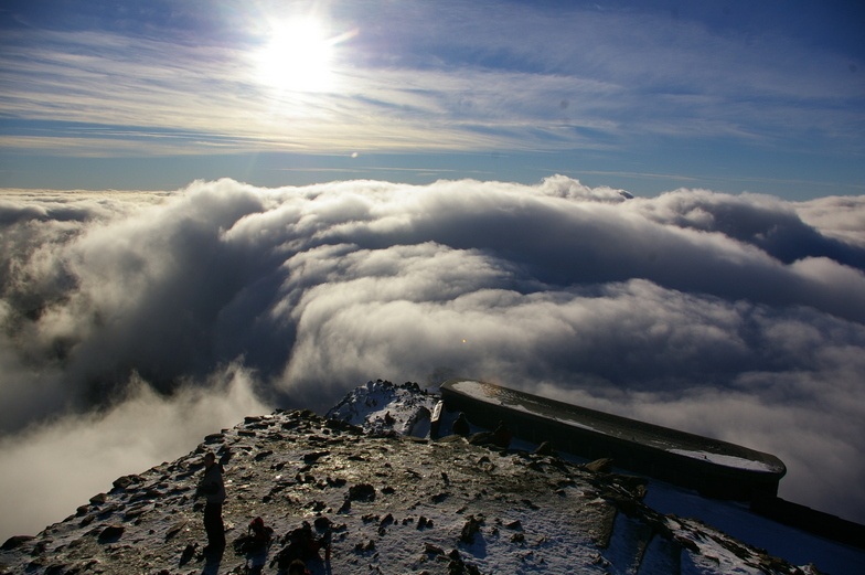
Latest snow reports near Snowdon:
| Top snow depth: | — |
|---|---|
| Bottom snow depth: | — |
| Fresh snowfall depth: | — |
| Last snowfall: | 11 Apr 2026 |
| Snow Alerts | Create Alert |
0.0 | Bluebird Powder days Fresh snow, mostly sunny, light wind. |
|---|---|
0.0 | Powder days Fresh snow, limited sun, any wind. |
0.0 | Bluebird days Average snow, mostly sunny, light wind. |
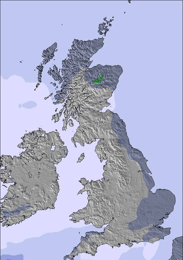
The above table gives the weather forecast for Snowdon at the specific elevation of 327 m. Our sophisticated weather models allow us to provide snow forecasts for the top, middle and bottom ski stations of Snowdon. To access the weather forecasts for the other elevations, use the tab navigation above the table. For a wider view of the weather, check out the Weather Map of United Kingdom.
Click here to read further information on freezing levels and how we forecast our temperatures.
Overall 3.0 Based on 5 votes and 4 reviews
I ride a split board. Been touring in BC Canada. Back in the UK now. Is it worth skinning up ?
paul whittle from United Kingdom writes:
I ride a split board. Been touring in BC Canada. Back in the UK now. Is it worth skinning up ?

 Nearest