

Global Weekly Snow Roundup #314
Weekly Global Snow News, updated 14 May 2026: Fresh snowfall in Argentina, Australia and Lesotho signals winter’s approach, while Japan maintains the world’s deepest snowpack.

Next 3 days weather summary:Mostly dry. Mild temperatures (max 6°C on Sat morning, min 1°C on Sun afternoon). Wind will be generally light. | Days 4-6 weather summary:Mostly dry. Temperatures will be slightly above freezing (max 4°C on Tue morning, min 1°C on Tue night). Wind will be generally light. | |||||||||||||||||
Saturday 16 | Sunday 17 | Monday 18 | Tuesday 19 | Wednesday 20 | Thursday 21 | |||||||||||||
AM | PM | night | AM | PM | night | AM | PM | night | AM | PM | night | AM | PM | night | AM | PM | night | |
clear | clear | clear | clear | clear | clear | clear | clear | clear | some clouds | cloudy | cloudy | cloudy | some clouds | cloudy | cloudy | cloudy | cloudy | |
km/h | ||||||||||||||||||
Snow map |  |  |  |  |  |  | ||||||||||||
— | — | — | — | — | — | — | — | — | — | — | — | — | — | — | — | — | — | |
— | — | — | — | — | — | — | — | — | — | — | — | — | — | — | — | — | — | |
max °C | 6 | 6 | 2 | 5 | 6 | 1 | 5 | 5 | 1 | 4 | 4 | 2 | 4 | 4 | 2 | 4 | 4 | 3 |
min °C | 3 | 2 | 2 | 3 | 1 | 1 | 2 | 1 | 1 | 2 | 2 | 1 | 3 | 2 | 2 | 2 | 2 | 3 |
3 | 2 | 2 | 3 | 1 | 0 | 0 | 1 | -1 | -1 | -1 | -3 | 0 | -1 | -1 | -1 | -2 | -1 | |
19 | 18 | 19 | 20 | 24 | 38 | 27 | 25 | 35 | 19 | 20 | 23 | 27 | 43 | 32 | 33 | 69 | 97 | |
2950 | 3000 | 3000 | 2900 | 2800 | 2700 | 2600 | 2550 | 2550 | 2650 | 2700 | 3050 | 3150 | 3200 | 2850 | 2650 | 2600 | 2450 | |
7:54 | — | — | 7:54 | — | — | 7:56 | — | — | 7:56 | — | — | 7:58 | — | — | 7:58 | — | — | |
— | 5:24 | — | — | 5:23 | — | — | 5:22 | — | — | 5:22 | — | — | 5:21 | — | — | 5:20 | — | |
Latest snow reports near Snow Farm:
| Top snow depth: | — |
|---|---|
| Bottom snow depth: | — |
| Fresh snowfall depth: | — |
| Last snowfall: | 8 May 2026 |
| Snow Alerts | Create Alert |
0.3 | Bluebird Powder days Fresh snow, mostly sunny, light wind. |
|---|---|
0.8 | Powder days Fresh snow, limited sun, any wind. |
0.1 | Bluebird days Average snow, mostly sunny, light wind. |

The above table gives the weather forecast for Snow Farm at the specific elevation of 1550 m. Our sophisticated weather models allow us to provide snow forecasts for the top, middle and bottom ski stations of Snow Farm. To access the weather forecasts for the other elevations, use the tab navigation above the table. For a wider view of the weather, check out the Weather Map of New Zealand.
Click here to read further information on freezing levels and how we forecast our temperatures.
Resort name is also written as Snow Park/Snow Farm.
Overall 4.2 Based on 5 votes and 2 reviews
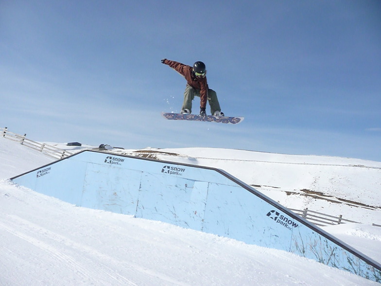
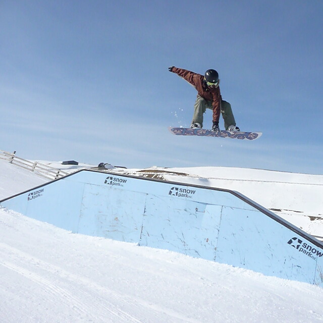
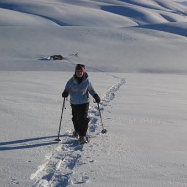
Snowfarm has great XC skiing and you can kite to the summits or go touring. The XC area is superbly groomed. Friendly place. Best XC in NZ. Family friendly. If you can skate XC fast you can fly on downhill. Light gear cheap hire. Always open. Great when you get sick of the crowds downhill
Kerb Groolgman from New Zealand writes:
Snowfarm has great XC skiing and you can kite to the summits or go touring. The XC area is superbly groomed. Friendly place. Best XC in NZ. Family friendly. If you can skate XC fast you can fly on downhill. Light gear cheap hire. Always open. Great when you get sick of the crowds downhill


 Nearest