

Global Weekly Snow Roundup #314
Weekly Global Snow News, updated 14 May 2026: Fresh snowfall in Argentina, Australia and Lesotho signals winter’s approach, while Japan maintains the world’s deepest snowpack.

Next 4 days weather summary:A light covering of new snow on Fri night turning to drizzle on Mon afternoon. Freeze-thaw conditions (max 7°C on Mon afternoon, min -2°C on Fri night). Wind will be generally light. | Days 5-7 weather summary:Light rain (total 9.0mm), mostly falling on Mon night. Very mild (max 10°C on Thu afternoon, min 3°C on Mon night). Wind will be generally light. | |||||||||||||||
Saturday 16 | Sunday 17 | Monday 18 | Tuesday 19 | Wednesday 20 | ||||||||||||
night | AM | PM | night | AM | PM | night | AM | PM | night | AM | PM | night | AM | PM | night | |
light snow | light snow | light snow | light snow | light snow | some clouds | some clouds | cloudy | rain shwrs | light rain | light rain | light rain | light rain | cloudy | some clouds | cloudy | |
km/h | ||||||||||||||||
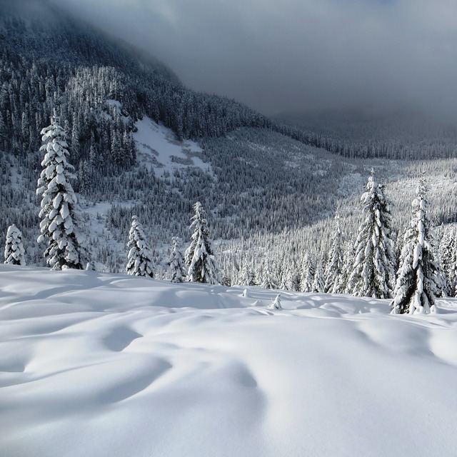
Snow map |  |  |  |  |  |  | ||||||||||
4 | 2 | 1 | 1 | — | — | — | — | — | — | — | — | — | — | — | — | |
— | — | — | — | — | — | — | — | 1 | 2 | 2 | 2 | 3 | — | — | — | |
max °C | 0 | -1 | 1 | 0 | 1 | 5 | 5 | 5 | 7 | 6 | 3 | 6 | 5 | 5 | 9 | 8 |
min °C | -2 | -2 | 0 | -1 | -1 | 3 | 3 | 4 | 6 | 3 | 3 | 5 | 3 | 3 | 9 | 6 |
-7 | -7 | -4 | -5 | -1 | 2 | 1 | 2 | 4 | 1 | 1 | 3 | 1 | 2 | 7 | 4 | |
99 | 98 | 90 | 99 | 94 | 75 | 76 | 84 | 62 | 97 | 97 | 87 | 99 | 86 | 63 | 88 | |
1250 | 1150 | 1400 | 1150 | 1450 | 2150 | 2100 | 2050 | 2250 | 2000 | 2000 | 2250 | 2450 | 2750 | 3250 | 3200 | |
— | 5:28 | — | — | 5:26 | — | — | 5:24 | — | — | 5:24 | — | — | 5:22 | — | — | |
— | — | — | 8:36 | — | — | 8:37 | — | — | 8:38 | — | — | 8:39 | — | — | 8:40 | |
Latest snow reports near Summit at Snoqualmie:
| Top snow depth: | — |
|---|---|
| Bottom snow depth: | — |
| Fresh snowfall depth: | 1 cm |
| Last snowfall: | 16 Apr 2026 |
| Snow Alerts | Create Alert |
0.1 | Bluebird Powder days Fresh snow, mostly sunny, light wind. |
|---|---|
0.3 | Powder days Fresh snow, limited sun, any wind. |
0.0 | Bluebird days Average snow, mostly sunny, light wind. |

The above table gives the weather forecast for Summit at Snoqualmie at the specific elevation of 1341 m. Our sophisticated weather models allow us to provide snow forecasts for the top, middle and bottom ski stations of Summit at Snoqualmie. To access the weather forecasts for the other elevations, use the tab navigation above the table. For a wider view of the weather, check out the Weather Map of United States.
Click here to read further information on freezing levels and how we forecast our temperatures.
Overall 2.7 Based on 17 votes and 6 reviews
They do not keep their promise and charge a hell of a lot of money! I bought a 2nd half season and next year whole season pass on Mar-1st-2020 for around $515 plus $52 of tax which was supposed to cover my ski at this place for end of 19/20 season and the whole 20/21 season (this price is around $100 more than the 20/21 season only price). I have used only 3 times during March 2020. However, Covid hit unexpectedly and Summit was closed early Apr-2020. When 20/21 season starts in November, Summit sent me an update saying that I can defer my 20/21 season to 21/22 season worry-free. Because of my concern on Covid, I wrote an email to them and told them I am deferring my season pass to 21/22 and they confirmed that I can do this defer. So I did not even go once during 20/21 season. This year, when I started to swipe my 20/21 season to 21/22 season pass, they told me that because I rode three times during 19/20 season, I can't use the pass in 21/22 season unless I pay around another $300 + tax to get it usable. I asked why the defer of 20/21 season to 21/22 season does not apply here as they promised. What they explain is like this: "because you used three times in 19/20 season, so they have to deduct 3 * $120 (the single pass ticket price IF you purchased them at the sales window at Summit), even you did not use it once in 20/21 season. The defer you can get is only $172 credit." To me, this is outrageous! For one, The reason anybody buys a season pass is for seasonal rides, not for day rides. If they are prorating the cost, it should be prorated by season’s opening time period, not by day pass rides. Secondly, if I buy single pass ticket online, it would only cost me $65+tax each ticket, they know that but they just charge me $120 each ticket at their will! And the worst, when they told me that I can defer 20/21 season to 21/22 season, I was expecting equal defer, which is full season to full season. Nobody informed me that I have to pay $300 more for this deferral! I feel like they were falsely advertising and cheating my hard-earned money out of my pocket. I would strongly advise against buying a season pass there. Not trustworthy.
Vicki from United States writes:
They do not keep their promise and charge a hell of a lot of money!
I bought a 2nd half season and next year whole season pass on Mar-1st-2020 for around $515 plus $52 of tax which was supposed to cover my ski at this place for end of 19/20 season and the whole 20/21 season (this price is around $100 more than the 20/21 season only price). I have used only 3 times during March 2020. However, Covid hit unexpectedly and Summit was closed early Apr-2020.
When 20/21 season starts in November, Summit sent me an update saying that I can defer my 20/21 season to 21/22 season worry-free. Because of my concern on Covid, I wrote an email to them and told them I am deferring my season pass to 21/22 and they confirmed that I can do this defer. So I did not even go once during 20/21 season.
This year, when I started to swipe my 20/21 season to 21/22 season pass, they told me that because I rode three times during 19/20 season, I can't use the pass in 21/22 season unless I pay around another $300 + tax to get it usable. I asked why the defer of 20/21 season to 21/22 season does not apply here as they promised. What they explain is like this:
"because you used three times in 19/20 season, so they have to deduct 3 * $120 (the single pass ticket price IF you purchased them at the sales window at Summit), even you did not use it once in 20/21 season. The defer you can get is only $172 credit."
To me, this is outrageous!
For one, The reason anybody buys a season pass is for seasonal rides, not for day rides. If they are prorating the cost, it should be prorated by season’s opening time period, not by day pass rides.
Secondly, if I buy single pass ticket online, it would only cost me $65+tax each ticket, they know that but they just charge me $120 each ticket at their will!
And the worst, when they told me that I can defer 20/21 season to 21/22 season, I was expecting equal defer, which is full season to full season. Nobody informed me that I have to pay $300 more for this deferral!
I feel like they were falsely advertising and cheating my hard-earned money out of my pocket. I would strongly advise against buying a season pass there. Not trustworthy.
Read 5 more reviews of Summit at Snoqualmie or submit your own


 Nearest