Visiting Raise (Lake District Ski
Helpful resort information to assist planning your trip.
- Opens—
- Closes—
- Accommodation—
- Restaurants | Bars— | —
- Nearest Airport Newcastle
- Nearest Train Station Penrith
- Tourist Office Website
- Tourist Office Phone+ 44 15395 35456
- Avalanche information:
Raise (Lake District Ski Features
The terrain at Raise (Lake District Ski includes:
- Halfpipes—
- Terrain Parks—
- X-Country—
- Ski Hire—
Ed Leighs Money Savings Tips whilst visiting Raise (Lake District Ski
What's it like at Raise (Lake District Ski resort?
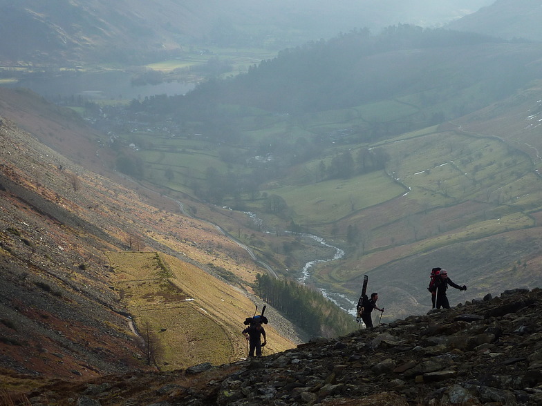
Raise is a good mountain for aggressive skiers and snowboarders. The ski area faces northeast and there is a long walk in to Raise so it will provide good snow without any crowds. There is a lift at Raise and the nearest airport is in Newcastle.
Latest photos from Raise (Lake District Ski. View all photos at the Raise (Lake District Ski gallery page.
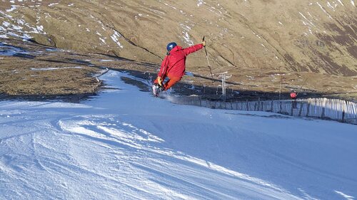 Photo credit: George Sewell
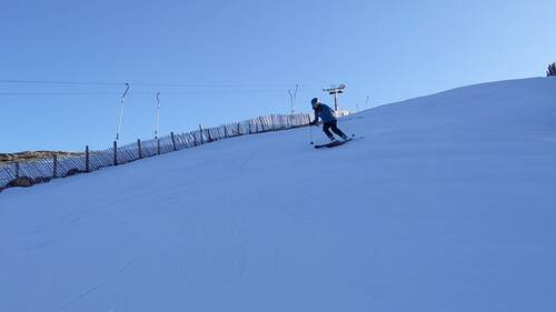 Photo credit: George Sewell
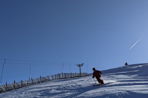 Photo credit: George Sewell
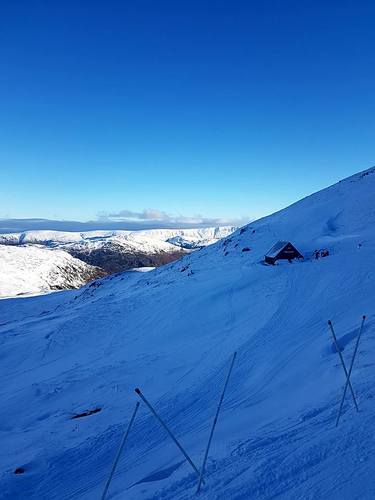 Photo credit: Mike Sweeney
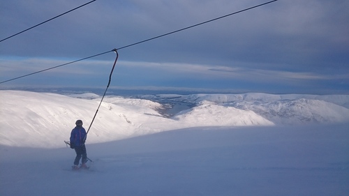 Photo credit: craig vanrooy
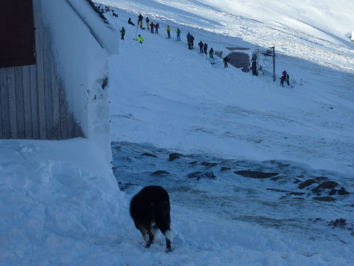 Photo credit: Mike Sweeney
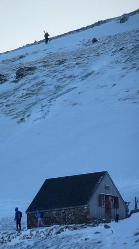 Photo credit: Mike Sweeney
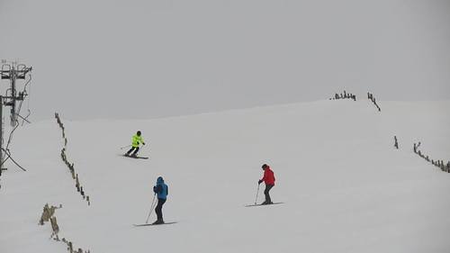 Photo credit: Mike Sweeney
Explore Raise (Lake District Ski Location Map
Interactive Raise (Lake District Ski trail map and piste map. View the piste and trails as well as the surrounding terrain and mountain contours for backcountry action. Find and compare nearby resorts by clicking on the resort markers.

When's the snowiest month to visit Raise (Lake District Ski?
What's the snow currently like in Raise (Lake District Ski?
A summary of the current snow conditions in Raise (Lake District Ski. View more information on the Raise (Lake District Ski detailed snow report page.
- Piste Condition—
- Off-piste Condition—

| Upper snow depth: | ||
|---|---|---|
| Lower snow depth: | ||
Visitor Reviews of Raise (Lake District Ski
Bernhard from United Kingdom writes:
Good fresh Snow, opening 07/02/2018.
Read 5 more reviews of Raise (Lake District Ski or submit your own
Resorts close to Raise (Lake District Ski
Discover ski resorts near Raise (Lake District Ski. Click below to view there ski resort guides.
 Yad MossLast snow: 3.0 cm Tue 12 May
 Lifts: 1
 Pistes: —47 km away
- Harwood CommonLast snow: 3.0 cm Tue 12 MayLifts: 2Pistes: —51 km away
- Weardale Ski ClubLast snow: 2.0 cm Tue 12 MayLifts: 2Pistes: —56 km away
- AllenheadsLast snow: 1.0 cm Sun 10 MayLifts: 3Pistes: —58 km away
- CastlesideLast snow: 1.0 cm Tue 12 MayLifts: 1Pistes: —80 km away
 Nearest