

Global Weekly Snow Roundup #314
Weekly Global Snow News, updated 14 May 2026: Fresh snowfall in Argentina, Australia and Lesotho signals winter’s approach, while Japan maintains the world’s deepest snowpack.

Next 3 days weather summary:A light covering of new snow, mostly falling on Sun afternoon. Freeze-thaw conditions (max 12°C on Fri afternoon, min -3°C on Sun night). Winds increasing (calm on Fri night, fresh winds from the ENE by Sun night). | Days 4-6 weather summary:Light rain (total 6.0mm), mostly falling on Tue morning. Freeze-thaw conditions (max 11°C on Thu morning, min -2°C on Mon night). Wind will be generally light. | ||||||||||||||||
Fri 15 | Saturday 16 | Sunday 17 | Monday 18 | Tuesday 19 | Wednesday 20 | ||||||||||||
PM | night | AM | PM | night | AM | PM | night | AM | PM | night | AM | PM | night | AM | PM | night | |
clear | clear | cloudy | cloudy | cloudy | cloudy | light snow | light snow | light snow | light snow | cloudy | rain shwrs | light rain | rain shwrs | some clouds | cloudy | some clouds | |
km/h | |||||||||||||||||
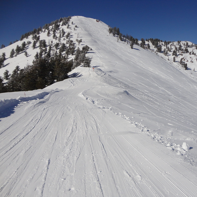
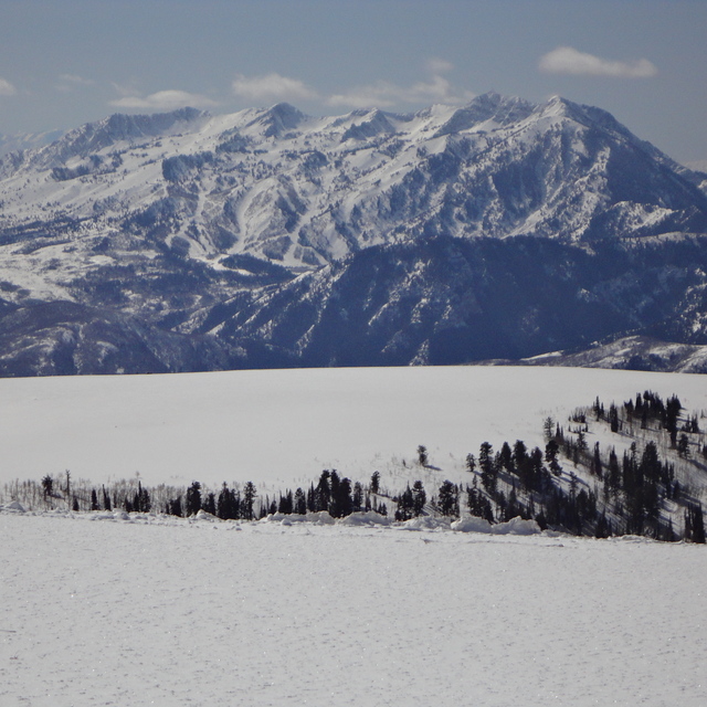
Snow map |  |  |  |  |  |  | |||||||||||
— | — | — | — | — | — | 3 | 3 | 1 | 1 | — | — | — | — | — | — | — | |
— | — | — | — | — | — | — | — | — | — | — | 2 | 3 | 1 | — | — | — | |
max °C | 12 | 7 | 10 | 8 | 3 | 2 | -1 | -1 | -1 | 0 | 0 | 4 | 4 | 2 | 7 | 8 | 5 |
min °C | 11 | 4 | 8 | 7 | -1 | 1 | -1 | -3 | -2 | 0 | -2 | 1 | 4 | 0 | 5 | 8 | 4 |
9 | 3 | 7 | 4 | -3 | 1 | -4 | -10 | -8 | -2 | -5 | -1 | 3 | -4 | 2 | 6 | 3 | |
33 | 41 | 37 | 53 | 67 | 57 | 95 | 97 | 92 | 94 | 66 | 55 | 63 | 59 | 54 | 47 | 46 | |
3700 | 3600 | 3600 | 3250 | 2700 | 2450 | 2150 | 2250 | 2050 | 2250 | 2450 | 2600 | 2700 | 2800 | 2900 | 3150 | 3550 | |
— | — | 6:07 | — | — | 6:05 | — | — | 6:05 | — | — | 6:03 | — | — | 6:03 | — | — | |
8:37 | — | — | 8:38 | — | — | 8:39 | — | — | 8:40 | — | — | 8:42 | — | — | 8:43 | — | |
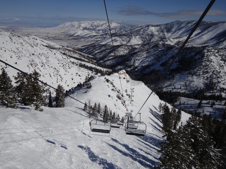
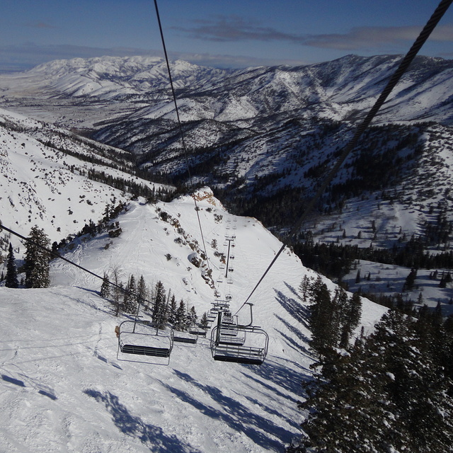
Latest snow reports near Powder Mountain:
| Top snow depth: | 0 cm |
|---|---|
| Bottom snow depth: | 0 cm |
| Fresh snowfall depth: | — |
| Last snowfall: | 26 Apr 2026 |
| Snow Alerts | Create Alert |
0.1 | Bluebird Powder days Fresh snow, mostly sunny, light wind. |
|---|---|
0.1 | Powder days Fresh snow, limited sun, any wind. |
0.0 | Bluebird days Average snow, mostly sunny, light wind. |
The above table gives the weather forecast for Powder Mountain at the specific elevation of 2316 m. Our sophisticated weather models allow us to provide snow forecasts for the top, middle and bottom ski stations of Powder Mountain. To access the weather forecasts for the other elevations, use the tab navigation above the table. For a wider view of the weather, check out the Weather Map of United States.
Click here to read further information on freezing levels and how we forecast our temperatures.
Overall 2.9 Based on 15 votes and 5 reviews
Powder Mountain is the Grand Targhee of Utah. The resort has a local, family feel to it, but the snow, terrain, and absence of crowds make this a must-visit if you are skiing in the Salt Lake area for a week. There isn't a ton of advanced terrain, but there still is substantial variety. Powder Country is a fun diversion, although the wait for the bus can be a bit long. Plan on taking a day-trip here. You won't be sorry.
RB from United States writes:
Powder Mountain is the Grand Targhee of Utah. The resort has a local, family feel to it, but the snow, terrain, and absence of crowds make this a must-visit if you are skiing in the Salt Lake area for a week. There isn't a ton of advanced terrain, but there still is substantial variety. Powder Country is a fun diversion, although the wait for the bus can be a bit long. Plan on taking a day-trip here. You won't be sorry.


 Nearest