

Global Weekly Snow Roundup #318
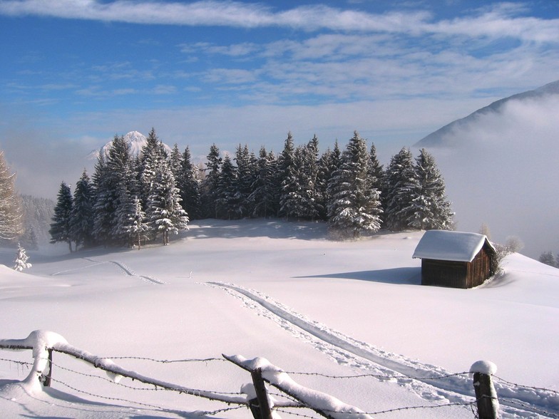
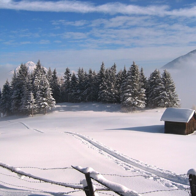
Weekly Snow News for the world, updated 11 June 2026: Australia's season begins, Val d’Isère reopens and major snowfall is forecast for the Andes.

Next 4 days weather summary:A dusting of new snow. Freeze-thaw conditions (max 3°C on Sat afternoon, min -6°C on Thu night). Wind will be generally light. | Days 5-7 weather summary:A dusting of new snow. Freeze-thaw conditions (max 5°C on Wed afternoon, min -2°C on Mon night). Wind will be generally light. | |||||||||||||||
Friday 12 | Saturday 13 | Sunday 14 | Monday 15 | Tuesday 16 | ||||||||||||
night | AM | PM | night | AM | PM | night | AM | PM | night | AM | PM | night | AM | PM | night | |
light snow | light snow | light snow | snow shwrs | clear | clear | clear | clear | clear | snow shwrs | light snow | light snow | snow shwrs | clear | cloudy | snow shwrs | |
km/h | ||||||||||||||||
Snow map |  |  |  |  |  |  | ||||||||||
— | 1 | 1 | — | — | — | — | — | — | — | — | — | — | — | — | — | |
— | — | — | — | — | — | — | — | — | — | — | — | — | — | — | — | |
max °C | -4 | -3 | -1 | 0 | 0 | 3 | 3 | 2 | 3 | 1 | 0 | 0 | -1 | 0 | 2 | 1 |
min °C | -6 | -3 | -2 | -1 | 0 | 2 | 2 | 2 | 3 | 1 | -1 | 0 | -2 | -1 | 2 | 0 |
-12 | -8 | -7 | -6 | -5 | -2 | -2 | -2 | -2 | -3 | -6 | -5 | -7 | -4 | 0 | -3 | |
49 | 97 | 96 | 82 | 53 | 41 | 32 | 40 | 42 | 49 | 68 | 55 | 27 | 35 | 45 | 60 | |
2400 | 2950 | 3200 | 3200 | 3500 | 3900 | 3700 | 3700 | 3900 | 3600 | 3300 | 3450 | 3200 | 3400 | 3750 | 3500 | |
— | 5:20 | — | — | 5:20 | — | — | 5:20 | — | — | 5:20 | — | — | 5:20 | — | — | |
— | — | — | 9:10 | — | — | 9:10 | — | — | 9:12 | — | — | 9:12 | — | — | 9:13 | |
Go pro and carve into:
Avalanche information: European Avalanche Warning Services (EAWS)
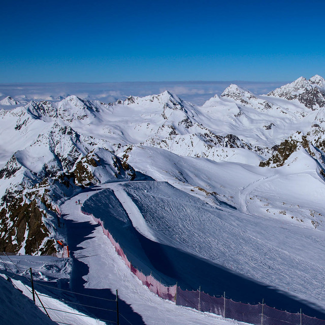
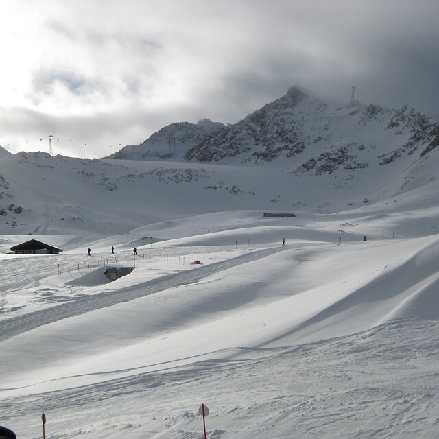
Latest snow reports near Pitztal Glacier:
| Top snow depth: | — |
|---|---|
| Bottom snow depth: | — |
| Fresh snowfall depth: | 16 cm |
| Last snowfall: | 10 Jun 2026 |
| Snow Alerts | Create Alert |
0.4 | Bluebird Powder days Fresh snow, mostly sunny, light wind. |
|---|---|
1.0 | Powder days Fresh snow, limited sun, any wind. |
0.6 | Bluebird days Average snow, mostly sunny, light wind. |
The above table gives the weather forecast for Pitztal Glacier at the specific elevation of 3440 m. Our sophisticated weather models allow us to provide snow forecasts for the top, middle and bottom ski stations of Pitztal Glacier. To access the weather forecasts for the other elevations, use the tab navigation above the table. For a wider view of the weather, check out the Weather Map of Austria.
Click here to read further information on freezing levels and how we forecast our temperatures.
Overall 4.4 Based on 19 votes and 3 reviews
I will be short. If you are into: 1) spectacular scenery and views; 2) massive glaciers and a high-mountain environment; 3) off-piste skiing and ski-alpinism; 4) pristine and uncontaminated alpine valley; 5) friendly locals; 6) no queues; and 7) great value for money, then this is THE place for you. Look no further. Pitztal has it all. If on the other hand you are after showing off, discos, apres-ski and drunken crowds avoid this place altogether. Go to nearby Soelden if skiing is still important or head to Ischgl if partying is top priority. If great food is your priority, avoid Austria altogether I am afraid. Head for the Reschen Pass (nearby) or the Brenner and ski Italy.
A-ski from Luxembourg writes:
I will be short.
If you are into: 1) spectacular scenery and views; 2) massive glaciers and a high-mountain environment; 3) off-piste skiing and ski-alpinism; 4) pristine and uncontaminated alpine valley; 5) friendly locals; 6) no queues; and 7) great value for money, then this is THE place for you. Look no further. Pitztal has it all.
If on the other hand you are after showing off, discos, apres-ski and drunken crowds avoid this place altogether. Go to nearby Soelden if skiing is still important or head to Ischgl if partying is top priority.
If great food is your priority, avoid Austria altogether I am afraid. Head for the Reschen Pass (nearby) or the Brenner and ski Italy.


 Nearest