

Global Weekly Snow Roundup #314
Weekly Global Snow News, updated 14 May 2026: Fresh snowfall in Argentina, Australia and Lesotho signals winter’s approach, while Japan maintains the world’s deepest snowpack.

Next 3 days weather summary:Moderate rain (total 10.0mm), heaviest on Mon afternoon. Freeze-thaw conditions (max 4°C on Mon afternoon, min -3°C on Sat morning). Wind will be generally light. | Days 4-6 weather summary:Moderate rain (total 19.0mm), heaviest on Tue night. Mild temperatures (max 9°C on Thu afternoon, min 2°C on Tue morning). Wind will be generally light. | |||||||||||||||||
Saturday 16 | Sunday 17 | Monday 18 | Tuesday 19 | Wednesday 20 | Thursday 21 | |||||||||||||
AM | PM | night | AM | PM | night | AM | PM | night | AM | PM | night | AM | PM | night | AM | PM | night | |
light snow | light snow | clear | clear | rain shwrs | rain shwrs | rain shwrs | rain shwrs | light rain | rain shwrs | light rain | mod. rain | light rain | risk thun- der | rain shwrs | some clouds | cloudy | rain shwrs | |
km/h | ||||||||||||||||||
Snow map |  |  |  |  |  |  | ||||||||||||
— | — | — | — | — | — | — | — | — | — | — | — | — | — | — | — | — | — | |
— | — | — | — | 1 | 1 | 1 | 4 | 3 | 1 | 3 | 6 | 3 | 3 | 2 | — | — | 1 | |
max °C | -1 | 0 | 0 | 1 | 3 | 3 | 3 | 4 | 3 | 4 | 6 | 5 | 4 | 6 | 6 | 6 | 9 | 8 |
min °C | -3 | 0 | -1 | -1 | 3 | 1 | 1 | 4 | 2 | 2 | 6 | 4 | 3 | 6 | 5 | 5 | 8 | 6 |
-9 | -5 | -4 | -1 | 3 | 1 | 1 | 2 | 1 | 1 | 5 | 2 | 0 | 6 | 3 | 3 | 8 | 4 | |
78 | 66 | 59 | 58 | 67 | 79 | 72 | 82 | 86 | 79 | 78 | 89 | 85 | 74 | 70 | 63 | 65 | 67 | |
1850 | 2050 | 1900 | 2150 | 2400 | 2250 | 2450 | 2500 | 2400 | 2500 | 2800 | 2700 | 2650 | 2850 | 2800 | 2850 | 3000 | 2950 | |
5:31 | — | — | 5:31 | — | — | 5:30 | — | — | 5:28 | — | — | 5:28 | — | — | 5:26 | — | — | |
— | — | 8:34 | — | — | 8:35 | — | — | 8:37 | — | — | 8:37 | — | — | 8:38 | — | — | 8:39 | |
Latest snow reports near Nassfeld:
Light rain reported from Bad Kleinkirchheim at 1082 metres elevation one km NE of Bad Kleinkirchheim but it is forecast cold enough for snow at higher elevations in the ski area from Bad Kleinkirchheim
| Top snow depth: | — |
|---|---|
| Bottom snow depth: | — |
| Fresh snowfall depth: | 25 cm |
| Last snowfall: | 15 May 2026 |
| Snow Alerts | Create Alert |
0.0 | Bluebird Powder days Fresh snow, mostly sunny, light wind. |
|---|---|
0.2 | Powder days Fresh snow, limited sun, any wind. |
0.0 | Bluebird days Average snow, mostly sunny, light wind. |
The above table gives the weather forecast for Nassfeld at the specific elevation of 2019 m. Our sophisticated weather models allow us to provide snow forecasts for the top, middle and bottom ski stations of Nassfeld. To access the weather forecasts for the other elevations, use the tab navigation above the table. For a wider view of the weather, check out the Weather Map of Austria.
Click here to read further information on freezing levels and how we forecast our temperatures.
Overall 4.1 Based on 23 votes and 12 reviews
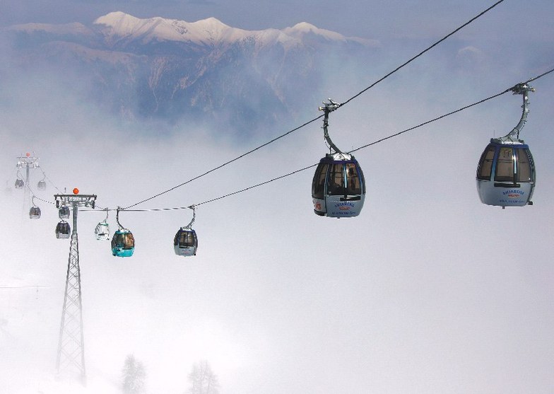
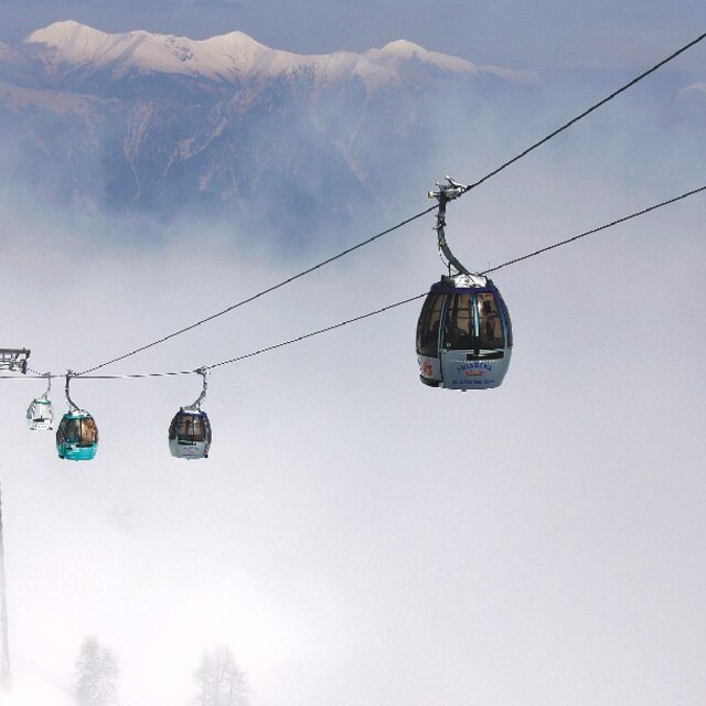
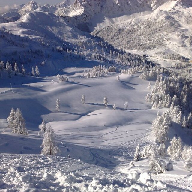
On a European scale Nassfeld is a medium sized ski area located in the eastern Alps of southern Austria on the Slovenian/Italian border. It's the largest ski area in the province of Carinthia catering to day/weekend skiers primarily from Villach (the closest city), Klagenfurt (the provincial capital) and bordering countries, Slovenia and Croatia in particular. Its local competition comes from Gerlitzen located on Villach's doorstep, Bad Kleinkirchheim and Turracherhoehe, both of which are smaller but nicer weekend/week long destinations where you can enjoy a more authentic ski village feel. The Nassfeld ski area is not a 'resort', rather it is situated in a small town (Tropalach) with mostly basic hotels catering to bus groups from surrounding countries as well as the Netherlands, Belgium and other north European/Scandinavian countries. The vast majority of skiers drive into the large free parking area at the base of the Millennium gondola. Shuttles run from the lots to the gondola entrance. From there you can ride 15 minutes to the top station or disembark at one of the two stations on route. Alternatively you can continue up the serpentine road from the parking lot about 15 minutes to reach the townsite of Nassfeld, a purpose built condo community requiring a chairlift to reach the top on either side of the valley. unless the weather is good you may need chains to drive it. There are more luxurious hotels in addition to condos in Nassfeld. Nassfeld ski area, as large as it is with decent facilities and plenty of runs, is unfortunately poorly designed. It has a major drawback in that there is only one way to get down to the valley and that is by a 45 min to an hour circuitous 'tour' of the area using two lifts and skiing red and blue runs, assuming you leave enough time in the afternoon to make the lifts before they close. There is a long flat boring schuss in the middle that good skiers with well waxed skis may be able to tuck if the conditions are quick enough, but speeds into the flat need to be fast or you will be walking or polling for a stretch. Snowboarders cannot schuss the whole stretch. And then the bottom section is red/black down to the valley. You can detour to the Millennium lift to avoid this steep section but lineups are common there. And what is really frustrating is that the Skiout is usually closed earlier and later in the season forcing you to join the Millennium downloading crowds at Tressdorferhoehe. There's no public announcement advising skiers when the skiout opens or closes. Food prices on top (Kofel restaurant) are expensive and it can be crowded, albeit with a nice convenient panoramic location, but you pay for it. Tressdorferhoehe is better with a nice outdoor sitting area. But the best restaurant pricewise on the mountain is the Garnitzenalm, found on the quieter side of the ski area also with a nice location. It has rustic decor with a large outdoor sitting area and the cleanest washrooms on the mountain. It is usually the least crowded and gives you access to one of the nicest red runs with few people on it directly above. This is the area to ski when the mountain is packed with people and the runs turn to ice. Personally, if I were planning a trip to Europe for a week or two I'd give Nassfeld a miss. It's just not attractive enough from a location, price and ski run layout perspective. It's attractive to bus groups for a week of lessons but for the intermediate to advanced skier looking for more run-out variety, gondolas and funparks you can do much better in France or even at less touristy Swiss resorts.
Andy Moore from Canada writes:
On a European scale Nassfeld is a medium sized ski area located in the eastern Alps of southern Austria on the Slovenian/Italian border. It's the largest ski area in the province of Carinthia catering to day/weekend skiers primarily from Villach (the closest city), Klagenfurt (the provincial capital) and bordering countries, Slovenia and Croatia in particular. Its local competition comes from Gerlitzen located on Villach's doorstep, Bad Kleinkirchheim and Turracherhoehe, both of which are smaller but nicer weekend/week long destinations where you can enjoy a more authentic ski village feel. The Nassfeld ski area is not a 'resort', rather it is situated in a small town (Tropalach) with mostly basic hotels catering to bus groups from surrounding countries as well as the Netherlands, Belgium and other north European/Scandinavian countries. The vast majority of skiers drive into the large free parking area at the base of the Millennium gondola. Shuttles run from the lots to the gondola entrance. From there you can ride 15 minutes to the top station or disembark at one of the two stations on route. Alternatively you can continue up the serpentine road from the parking lot about 15 minutes to reach the townsite of Nassfeld, a purpose built condo community requiring a chairlift to reach the top on either side of the valley. unless the weather is good you may need chains to drive it. There are more luxurious hotels in addition to condos in Nassfeld.
Nassfeld ski area, as large as it is with decent facilities and plenty of runs, is unfortunately poorly designed. It has a major drawback in that there is only one way to get down to the valley and that is by a 45 min to an hour circuitous 'tour' of the area using two lifts and skiing red and blue runs, assuming you leave enough time in the afternoon to make the lifts before they close. There is a long flat boring schuss in the middle that good skiers with well waxed skis may be able to tuck if the conditions are quick enough, but speeds into the flat need to be fast or you will be walking or polling for a stretch. Snowboarders cannot schuss the whole stretch. And then the bottom section is red/black down to the valley. You can detour to the Millennium lift to avoid this steep section but lineups are common there. And what is really frustrating is that the Skiout is usually closed earlier and later in the season forcing you to join the Millennium downloading crowds at Tressdorferhoehe. There's no public announcement advising skiers when the skiout opens or closes.
Food prices on top (Kofel restaurant) are expensive and it can be crowded, albeit with a nice convenient panoramic location, but you pay for it. Tressdorferhoehe is better with a nice outdoor sitting area. But the best restaurant pricewise on the mountain is the Garnitzenalm, found on the quieter side of the ski area also with a nice location. It has rustic decor with a large outdoor sitting area and the cleanest washrooms on the mountain. It is usually the least crowded and gives you access to one of the nicest red runs with few people on it directly above. This is the area to ski when the mountain is packed with people and the runs turn to ice.
Personally, if I were planning a trip to Europe for a week or two I'd give Nassfeld a miss. It's just not attractive enough from a location, price and ski run layout perspective. It's attractive to bus groups for a week of lessons but for the intermediate to advanced skier looking for more run-out variety, gondolas and funparks you can do much better in France or even at less touristy Swiss resorts.


 Nearest