

Global Weekly Snow Roundup #314
Weekly Global Snow News, updated 14 May 2026: Fresh snowfall in Argentina, Australia and Lesotho signals winter’s approach, while Japan maintains the world’s deepest snowpack.

Next 4 days weather summary:Moderate rain (total 10.0mm) on Fri night. Becoming colder with heavy fall of snow, heaviest during Fri night. Freeze-thaw conditions (max 7°C on Mon afternoon, min -6°C on Sun night). Wind will be generally light. | Days 5-7 weather summary:Moderate rain (total 14.0mm), heaviest on Tue morning. Freeze-thaw conditions (max 13°C on Wed afternoon, min -2°C on Mon night). Wind will be generally light. | |||||||||||||||
Saturday 16 | Sunday 17 | Monday 18 | Tuesday 19 | Wednesday 20 | ||||||||||||
night | AM | PM | night | AM | PM | night | AM | PM | night | AM | PM | night | AM | PM | night | |
mod. snow | mod. snow | mod. snow | light snow | snow shwrs | rain shwrs | snow shwrs | rain shwrs | rain shwrs | rain shwrs | light rain | risk thun- der | rain shwrs | rain shwrs | light rain | some clouds | |
km/h | ||||||||||||||||
Snow map | 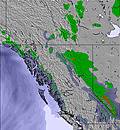 | 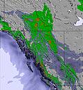 | 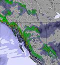 | 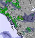 | 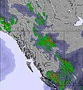 | 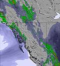 | ||||||||||
9 | 7 | 6 | 4 | — | — | — | — | — | — | — | — | — | — | — | — | |
3 | — | — | — | — | 2 | — | 1 | 4 | 1 | 2 | 4 | 2 | 1 | 1 | — | |
max °C | 5 | 2 | 2 | -1 | 2 | 4 | 0 | 6 | 7 | 3 | 9 | 10 | 5 | 11 | 13 | 8 |
min °C | 1 | 1 | 2 | -5 | 0 | 4 | -6 | 3 | 7 | -2 | 6 | 10 | 0 | 7 | 13 | 5 |
1 | 1 | -1 | -5 | 0 | 4 | -8 | 3 | 7 | -4 | 6 | 10 | 0 | 7 | 13 | 3 | |
97 | 98 | 99 | 98 | 90 | 80 | 93 | 84 | 65 | 84 | 78 | 60 | 92 | 80 | 47 | 81 | |
1900 | 1700 | 1800 | 1400 | 1500 | 1950 | 1050 | 1950 | 2300 | 1600 | 2400 | 2650 | 2450 | 2500 | 2900 | 2950 | |
— | 5:50 | — | — | 5:48 | — | — | 5:47 | — | — | 5:45 | — | — | 5:43 | — | — | |
— | — | — | 9:23 | — | — | 9:25 | — | — | 9:27 | — | — | 9:29 | — | — | 9:30 | |
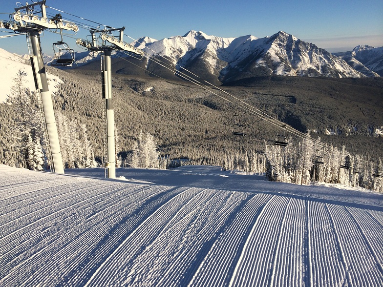
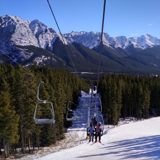
Latest snow reports near Nakiska:
| Top snow depth: | 0 cm |
|---|---|
| Bottom snow depth: | 0 cm |
| Fresh snowfall depth: | — |
| Last snowfall: | 4 May 2026 |
| Snow Alerts | Create Alert |
0.0 | Bluebird Powder days Fresh snow, mostly sunny, light wind. |
|---|---|
0.1 | Powder days Fresh snow, limited sun, any wind. |
0.0 | Bluebird days Average snow, mostly sunny, light wind. |
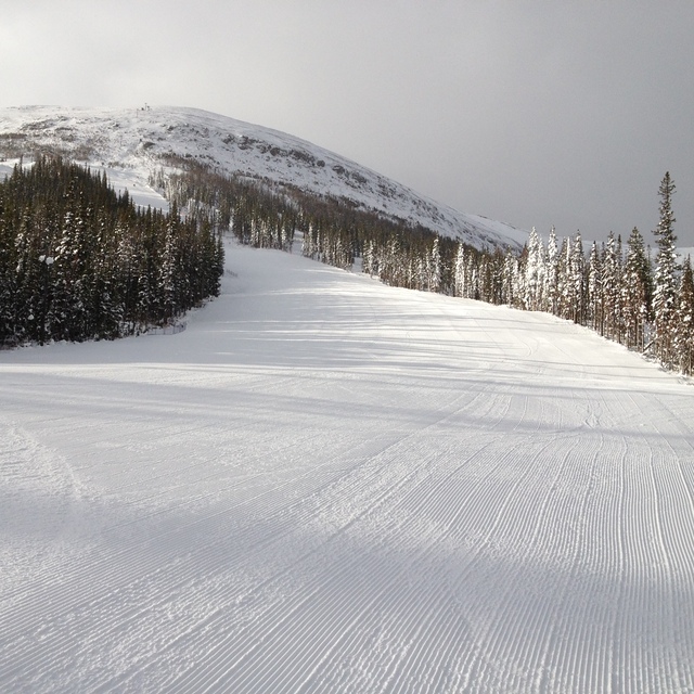
The above table gives the weather forecast for Nakiska at the specific elevation of 1525 m. Our sophisticated weather models allow us to provide snow forecasts for the top, middle and bottom ski stations of Nakiska. To access the weather forecasts for the other elevations, use the tab navigation above the table. For a wider view of the weather, check out the Weather Map of Canada.
Click here to read further information on freezing levels and how we forecast our temperatures.
Overall 3.0 Based on 22 votes and 9 reviews
Snow conditions pretty bleak but with the cold weather the snow making machines are at full capacity. The main Gold chair is down due to the lift cable being replaced (why wasn't this done in the summer you may ask?) The runs that are open are decent and no rocks. This place doesn't get much natural snowfall. Grass and shrubs still showing right up to the top where there is no snow making. Steepest terrain is closed due to Gold chair being down. We have had a ski pass here for three years only because of the kids being in the racing program. Otherwise, anyone with some skiing ability will want more challenge further west. Very cheap family pass rates can make the lower mountain green/blue terrain packed on weekends but Gold chair is usually quick to load. The glades off Gold chair are fantastic if you have a natural powder dump (pretty rare for this hill).
PwdrHnd from Canada writes:
Snow conditions pretty bleak but with the cold weather the snow making machines are at full capacity. The main Gold chair is down due to the lift cable being replaced (why wasn't this done in the summer you may ask?) The runs that are open are decent and no rocks. This place doesn't get much natural snowfall. Grass and shrubs still showing right up to the top where there is no snow making. Steepest terrain is closed due to Gold chair being down.
We have had a ski pass here for three years only because of the kids being in the racing program. Otherwise, anyone with some skiing ability will want more challenge further west. Very cheap family pass rates can make the lower mountain green/blue terrain packed on weekends but Gold chair is usually quick to load. The glades off Gold chair are fantastic if you have a natural powder dump (pretty rare for this hill).


 Nearest