

Global Weekly Snow Roundup #314
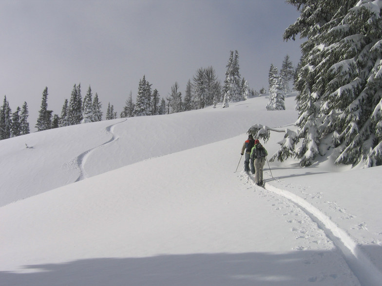
Weekly Global Snow News, updated 14 May 2026: Fresh snowfall in Argentina, Australia and Lesotho signals winter’s approach, while Japan maintains the world’s deepest snowpack.

Next 4 days weather summary:A heavy fall of snow, heaviest during Fri night. Freeze-thaw conditions (max 2°C on Mon afternoon, min -7°C on Fri night). Winds decreasing (strong winds from the W on Fri night, light winds from the NW by Sun night). | Days 5-7 weather summary:Mostly dry. Freeze-thaw conditions (max 9°C on Thu afternoon, min 0°C on Mon night). Wind will be generally light. | |||||||||||||||
Saturday 16 | Sunday 17 | Monday 18 | Tuesday 19 | Wednesday 20 | ||||||||||||
night | AM | PM | night | AM | PM | night | AM | PM | night | AM | PM | night | AM | PM | night | |
mod. snow | light snow | mod. snow | light snow | clear | clear | some clouds | some clouds | clear | clear | some clouds | some clouds | some clouds | clear | clear | clear | |
km/h | ||||||||||||||||
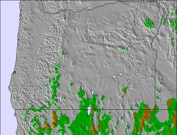
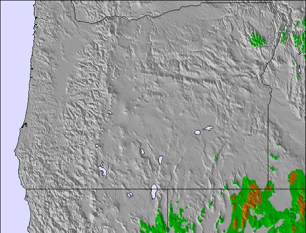
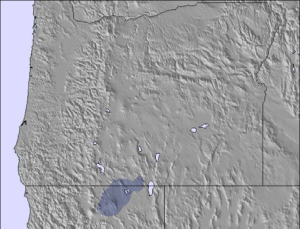
Snow map |  |  |  |  |  |  | ||||||||||
10 | 3 | 5 | 5 | — | — | — | — | — | — | — | — | — | — | — | — | |
— | — | — | — | — | — | — | — | — | — | — | — | — | — | — | — | |
max °C | -5 | -6 | -5 | -6 | -4 | -1 | 0 | 0 | 2 | 2 | 0 | 3 | 2 | 4 | 7 | 6 |
min °C | -7 | -7 | -6 | -7 | -5 | -2 | 0 | 0 | 1 | 0 | 0 | 2 | 2 | 2 | 6 | 6 |
-18 | -17 | -16 | -16 | -11 | -7 | -5 | -4 | -4 | -6 | -6 | -3 | -4 | -2 | 4 | 2 | |
98 | 91 | 94 | 76 | 77 | 78 | 51 | 51 | 49 | 72 | 65 | 53 | 49 | 47 | 48 | 53 | |
1400 | 1250 | 1400 | 1050 | 1450 | 2100 | 2300 | 2250 | 2450 | 2350 | 2350 | 2900 | 2950 | 3250 | 3550 | 3500 | |
— | 5:35 | — | — | 5:33 | — | — | 5:33 | — | — | 5:31 | — | — | 5:31 | — | — | |
— | — | — | 8:30 | — | — | 8:31 | — | — | 8:32 | — | — | 8:34 | — | — | 8:35 | |
Latest snow reports near Mt Hood Meadows:
| Top snow depth: | — |
|---|---|
| Bottom snow depth: | — |
| Fresh snowfall depth: | 1 cm |
| Last snowfall: | 14 May 2026 |
| Snow Alerts | Create Alert |
0.3 | Bluebird Powder days Fresh snow, mostly sunny, light wind. |
|---|---|
0.7 | Powder days Fresh snow, limited sun, any wind. |
0.3 | Bluebird days Average snow, mostly sunny, light wind. |
The above table gives the weather forecast for Mt Hood Meadows at the specific elevation of 2225 m. Our sophisticated weather models allow us to provide snow forecasts for the top, middle and bottom ski stations of Mt Hood Meadows. To access the weather forecasts for the other elevations, use the tab navigation above the table. For a wider view of the weather, check out the Weather Map of United States.
Click here to read further information on freezing levels and how we forecast our temperatures.
Overall 3.1 Based on 162 votes and 177 reviews
I've skied at Meadows since the beginning of it's existence (I was in college then). It just keeps getting worse and worse. Today is Rotary Night, when night skiing is to create donations for the local Rotary Club. Good old days night skiing ticket was $20 and the proceeds went to Rotary. Fast forward to the new and better Meadows where night skiing ticket is full purchase price, but some of it (unspecified) goes to Rotary. Ya just gotta love it. Kinda tickles if you stand just right...
Old Fart from United States writes:
I've skied at Meadows since the beginning of it's existence (I was in college then). It just keeps getting worse and worse. Today is Rotary Night, when night skiing is to create donations for the local Rotary Club. Good old days night skiing ticket was $20 and the proceeds went to Rotary. Fast forward to the new and better Meadows where night skiing ticket is full purchase price, but some of it (unspecified) goes to Rotary. Ya just gotta love it. Kinda tickles if you stand just right...

 Nearest