

Global Weekly Snow Roundup #318
Weekly Snow News for the world, updated 11 June 2026: Australia's season begins, Val d’Isère reopens and major snowfall is forecast for the Andes.

Next 3 days weather summary:Mostly dry. Warm (max 20°C on Sun afternoon, min 8°C on Fri morning). Wind will be generally light. | Days 4-6 weather summary:Some drizzle, heaviest during Tue afternoon. Very mild (max 18°C on Mon afternoon, min 8°C on Wed morning). Wind will be generally light. | |||||||||||||||||
Friday 12 | Saturday 13 | Sunday 14 | Monday 15 | Tuesday 16 | Wednesday 17 | |||||||||||||
AM | PM | night | AM | PM | night | AM | PM | night | AM | PM | night | AM | PM | night | AM | PM | night | |
clear | clear | clear | clear | clear | clear | clear | clear | some clouds | some clouds | some clouds | clear | clear | rain shwrs | clear | clear | clear | clear | |
km/h | ||||||||||||||||||
Snow map | 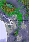 | 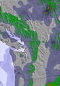 | 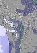 | 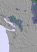 | 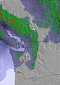 | 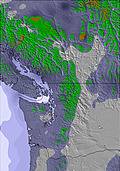 | ||||||||||||
— | — | — | — | — | — | — | — | — | — | — | — | — | — | — | — | — | — | |
— | — | — | — | — | — | — | — | — | — | — | — | — | 1 | — | — | — | — | |
max °C | 10 | 13 | 14 | 15 | 18 | 18 | 19 | 20 | 20 | 17 | 18 | 17 | 12 | 13 | 12 | 9 | 13 | 12 |
min °C | 8 | 12 | 12 | 13 | 17 | 17 | 17 | 20 | 18 | 16 | 17 | 13 | 11 | 12 | 9 | 8 | 11 | 10 |
8 | 12 | 12 | 13 | 17 | 17 | 17 | 20 | 18 | 16 | 17 | 12 | 9 | 10 | 8 | 8 | 10 | 9 | |
62 | 54 | 48 | 43 | 43 | 41 | 40 | 34 | 42 | 52 | 47 | 60 | 89 | 62 | 65 | 73 | 44 | 56 | |
2600 | 3000 | 3300 | 3550 | 3750 | 3900 | 4050 | 4350 | 4500 | 4300 | 4400 | 4000 | 3700 | 3150 | 3550 | 3800 | 3950 | 3900 | |
5:05 | — | — | 5:05 | — | — | 5:05 | — | — | 5:05 | — | — | 5:05 | — | — | 5:05 | — | — | |
— | — | 9:16 | — | — | 9:17 | — | — | 9:17 | — | — | 9:19 | — | — | 9:19 | — | — | 9:20 | |
Go pro and carve into:
Avalanche information: Avalanche Canada
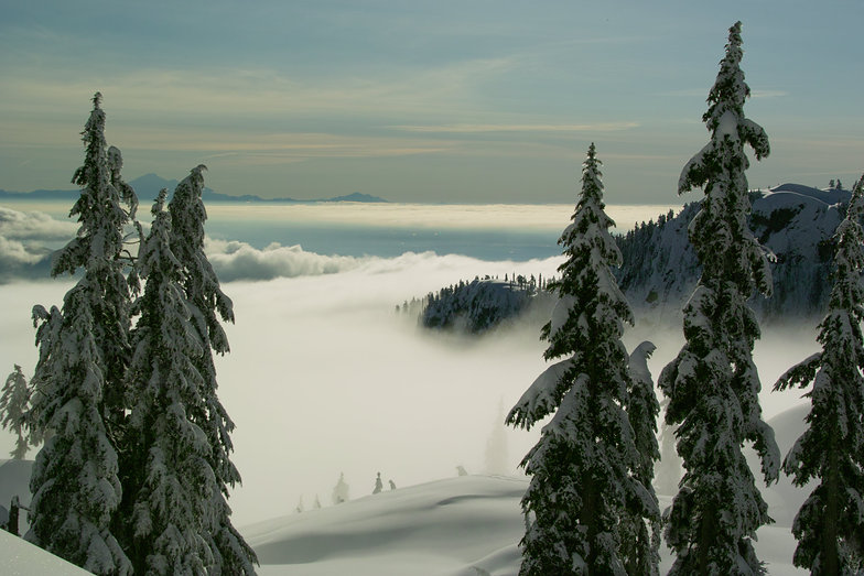
Latest snow reports near Mt Seymour:
| Top snow depth: | — |
|---|---|
| Bottom snow depth: | — |
| Fresh snowfall depth: | — |
| Last snowfall: | 5 Jun 2026 |
| Snow Alerts | Create Alert |
0.0 | Bluebird Powder days Fresh snow, mostly sunny, light wind. |
|---|---|
0.0 | Powder days Fresh snow, limited sun, any wind. |
0.0 | Bluebird days Average snow, mostly sunny, light wind. |

The above table gives the weather forecast for Mt Seymour at the specific elevation of 1265 m. Our sophisticated weather models allow us to provide snow forecasts for the top, middle and bottom ski stations of Mt Seymour. To access the weather forecasts for the other elevations, use the tab navigation above the table. For a wider view of the weather, check out the Weather Map of Canada.
Click here to read further information on freezing levels and how we forecast our temperatures.
Overall 3.7 Based on 78 votes and 43 reviews
Watch out for grease drips on the chairs. Got the back of my North Face Gore-tex Pro jacket smeared with it. Response from their customer service was to go get it dry cleaned and they would pay for the cleaning. Who dry cleans Gore-tex fabric? It ruins it. Not impressed.
Marie from Canada writes:
Watch out for grease drips on the chairs. Got the back of my North Face Gore-tex Pro jacket smeared with it. Response from their customer service was to go get it dry cleaned and they would pay for the cleaning. Who dry cleans Gore-tex fabric? It ruins it. Not impressed.


 Nearest