

Portillo Re-Opens To Guests Arriving By Helicopter
Chile’s famous Portillo ski resort is reported to have re-opened to guests arriving by helicopter after being cut off by road for more than two weeks by over 6m/20 feet of snowfall.

Next 3 days weather summary:Heavy rain (total 35.0mm), heaviest during Tue afternoon. Warm (max 27°C on Mon afternoon, min 17°C on Tue night). Wind will be generally light. | Days 4-6 weather summary:Moderate rain (total 13.0mm), heaviest on Thu afternoon. Warm (max 22°C on Sat afternoon, min 14°C on Fri morning). Wind will be generally light. | |||||||||||||||||
Monday 3 | Tuesday 4 | Wednesday 5 | Thursday 6 | Friday 7 | Saturday 8 | |||||||||||||
AM | PM | night | AM | PM | night | AM | PM | night | AM | PM | night | AM | PM | night | AM | PM | night | |
clear | t-storm risk | rain shwrs | clear | t-storm risk | rain shwrs | clear | rain shwrs | rain shwrs | clear | mod. rain | rain shwrs | some clouds | some clouds | some clouds | clear | clear | clear | |
km/h | ||||||||||||||||||
Snow map |  |  |  |  |  |  | ||||||||||||
— | — | — | — | — | — | — | — | — | — | — | — | — | — | — | — | — | — | |
mm | — | 5 | 9 | — | 9 | 10 | — | 1 | 1 | — | 9 | 4 | — | — | — | — | — | — |
max °C | 25 | 27 | 20 | 22 | 23 | 19 | 21 | 23 | 23 | 21 | 19 | 16 | 16 | 19 | 19 | 19 | 22 | 20 |
min °C | 22 | 19 | 18 | 19 | 19 | 17 | 19 | 23 | 19 | 19 | 17 | 15 | 14 | 18 | 16 | 16 | 21 | 19 |
chill °C | 22 | 19 | 18 | 19 | 19 | 17 | 19 | 23 | 19 | 19 | 17 | 15 | 14 | 18 | 16 | 16 | 21 | 19 |
Humid % | 37 | 76 | 65 | 56 | 75 | 67 | 53 | 49 | 58 | 58 | 90 | 89 | 83 | 69 | 70 | 56 | 41 | 45 |
Freeze m | 4550 | 4450 | 4500 | 4450 | 4300 | 4400 | 4300 | 4350 | 4400 | 4300 | 4300 | 4150 | 4200 | 4300 | 4350 | 4300 | 4250 | 4300 |
6:16 | — | — | 6:18 | — | — | 6:18 | — | — | 6:20 | — | — | 6:20 | — | — | 6:22 | — | — | |
— | — | 9:00 | — | — | 8:59 | — | — | 8:58 | — | — | 8:57 | — | — | 8:54 | — | — | 8:53 | |
Go pro and carve into:
Avalanche information: European Avalanche Warning Services (EAWS)
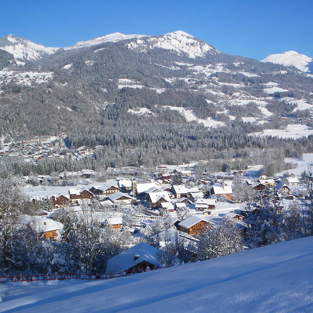
Latest snow reports near Morillon:
| Top snow depth: | — |
|---|---|
| Bottom snow depth: | — |
| Fresh snowfall depth: | — |
| Last snowfall: | 15 May 2026 |
| Snow Alerts | Create Alert |
0.0 | Bluebird Powder days Fresh snow, mostly sunny, light wind. |
|---|---|
0.0 | Powder days Fresh snow, limited sun, any wind. |
0.0 | Bluebird days Average snow, mostly sunny, light wind. |

The above table gives the weather forecast for Morillon at the specific elevation of 1294 m. Our sophisticated weather models allow us to provide snow forecasts for the top, middle and bottom ski stations of Morillon. To access the weather forecasts for the other elevations, use the tab navigation above the table. For a wider view of the weather, check out the Weather Map of France.
Click here to read further information on freezing levels and how we forecast our temperatures.
Overall 4.3 Based on 19 votes and 26 reviews
Lifts have improved so much from early days and it is a fabulous area to ski. No steps anywhere as completely equipped for the disabled skiers. Pistes very well looked after and there is something for everyone. .The Grand Massif has black off-piste bowls and runs, to lovely long green ones. There are also open slopes and tree runs so when the weather is bad you can usually ski. February does get busy but so does everywhere.
Crioutwo from United Kingdom writes:
Lifts have improved so much from early days and it is a fabulous area to ski. No steps anywhere as completely equipped for the disabled skiers. Pistes very well looked after and there is something for everyone. .The Grand Massif has black off-piste bowls and runs, to lovely long green ones. There are also open slopes and tree runs so when the weather is bad you can usually ski.
February does get busy but so does everywhere.


 Nearest