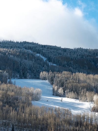
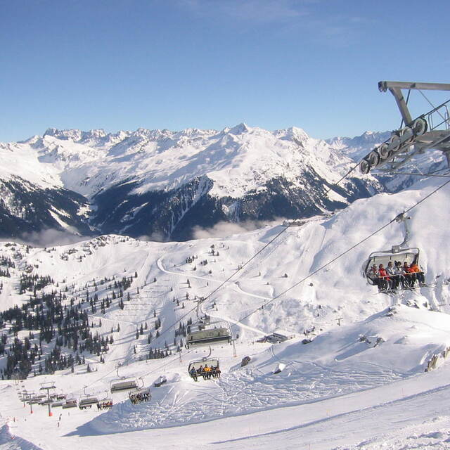
Montafon snow
Ski Austria

Montafon Snow Forecast

Weather Forecast for Montafon at 1000 m
Issued: 7 pm  24 Apr 2024 (local time)

New snow in Montafon

2.1cm0.8in
Wed 24th (PM)
The snow forecast for Montafon is: A dusting of snow turning to light rain (total 3.0mm) on Thu afternoon. Freeze-thaw conditions (max 12°C on Sat afternoon, min -8°C on Wed night). Wind will be generally light.

Montafon Weather (Next 3 days): The snow forecast for Montafon is: A dusting of snow turning to light rain (total 3.0mm) on Thu afternoon. Freeze-thaw conditions (max 12°C on Sat afternoon, min -8°C on Wed night). Wind will be generally light.

Montafon Weather (Days 4-6): Some drizzle, heaviest during Mon night. Warm (max 20°C on Tue afternoon, min 5°C on Sat night). Wind will be generally light.


Montafon Live Weather

ResortSnow DepthTemp. (°C)Wind (km/h)Weather
Top Lift: 0.0m
-9
10
mod snow
Middle Lift: 
-4
5
mod snow
Bottom Lift: 0.0m
0
5
light snow
Powered by Snow-Forecast.comSnow-Forecast.com
6 Day Forecast
Issued: 7 pm 24 Apr 2024 / Updates in ::
Change Forecast Height
Choose Forecast
Last 6 daysScroll left for last 6 daysNow
Thursday
25
Friday
26
Saturday
27
Sunday
28
Monday
29
Tuesday
30
night
AM
PM
night
AM
PM
night
AM
PM
night
AM
PM
night
AM
PM
night
AM
PM
night
snow showers
light snow
rain showers
clear
cloud
rain showers
rain showers
part cloud
part cloud
part cloud
clear
part cloud
part cloud
clear
part cloud
rain showers
part cloud
part cloud
clear
snow shwrs
light snow
rain shwrs
clear
cloudy
rain shwrs
rain shwrs
some clouds
some clouds
some clouds
clear
some clouds
some clouds
clear
some clouds
rain shwrs
some clouds
some clouds
clear
 km/h
5
SE
5
WNW
5
W
10
SSE
5
S
5
S
10
SSE
10
SSE
10
SSE
10
SSE
10
SSE
10
S
10
SSE
5
S
5
SSW
15
SSE
10
SSE
10
SSW
10
SSE
Snow map
 cm 
2.0
 mm 
1.0
1.0
1.0
1.0
max°C
0
1
5
1
6
9
5
9
12
8
12
16
10
16
19
14
17
20
15
min°C
-8
-3
3
-2
2
8
1
4
11
5
8
14
7
10
19
9
12
19
9
chill°C 
-12
-3
3
-5
0
8
-2
2
10
2
6
13
5
9
19
7
11
19
7
Humid% 
95
78
75
78
62
71
78
70
57
82
63
68
75
43
42
77
47
37
71
Freezing level (m
250
1150
1650
950
1850
2150
1450
2250
2450
2350
2800
2900
2950
3100
3300
3200
3100
3300
3150
topliftbotliftSea lvl1000m2000m3000m4000m5000m
-10-9-6-6-4-2-3-110354595696-4-14-1493712710159131912152012
Sunrise
6:13
6:11
6:09
6:07
6:07
6:05
Sunset
8:22
8:23
8:24
8:27
8:28
8:29

Snow Radar

Submit a report Eyeball Reporter

Latest snow reports near Montafon:

  • 18 km away from Montafon

    1 hour ago
    weather station observation

    Rain reported from Brand at 1032 metres elevation one km S of Brandnertal (Brand und Bürserberg) but it is forecast cold enough for snow at the ski area from Brandnertal (Brand und Bürserberg)

  • 19 km away from Montafon

    1 hour ago
    weather station observation

    Light rain showers reported from Galtür at 1577 metres elevation SSW of Galtur-Silvapark but it is forecast cold enough for snow at the ski area from Galtur-Silvapark

  • 48 km away from Montafon

    1 hour ago
    weather station observation

    Rain reported from Landeck at 785 metres elevation only 2 kms NW of Landeck-Zams-Fliess but it is forecast cold enough for snow at the ski area from Landeck-Zams-Fliess

Montafon Snow Conditions

Top snow depth:0cm
Bottom snow depth:0cm
Fresh snowfall depth:10cm
Last snowfall:23 Apr 2024
Snow AlertsCreate Alert
Other resorts in Austria are reporting: powder (5) / good piste (5)

Snow History

Week 4 of April has on average:
0.0
Bluebird Powder days
Fresh snow, mostly sunny, light wind.
0.0
Powder days
Fresh snow, limited sun, any wind.
0.0
Bluebird days
Average snow, mostly sunny, light wind.