

Global Weekly Snow Roundup #314
Weekly Global Snow News, updated 14 May 2026: Fresh snowfall in Argentina, Australia and Lesotho signals winter’s approach, while Japan maintains the world’s deepest snowpack.

Next 3 days weather summary:Light rain (total 7.0mm), mostly falling on Sat night. Warm (max 20°C on Mon afternoon, min 7°C on Sun night). Winds decreasing (fresh winds from the W on Sat night, calm by Sun night). | Days 4-6 weather summary:Moderate rain (total 11.0mm), heaviest on Wed afternoon. Warm (max 23°C on Tue afternoon, min 3°C on Wed night). Winds decreasing (strong winds from the W on Tue night, light winds from the N by Thu night). | |||||||||||||||||
Saturday 16 | Sunday 17 | Monday 18 | Tuesday 19 | Wednesday 20 | Thursday 21 | |||||||||||||
AM | PM | night | AM | PM | night | AM | PM | night | AM | PM | night | AM | PM | night | AM | PM | night | |
clear | some clouds | mod. rain | light rain | cloudy | some clouds | cloudy | some clouds | clear | light rain | risk thun- der | rain shwrs | risk thun- der | light rain | light rain | some clouds | some clouds | some clouds | |
km/h | ||||||||||||||||||
Snow map |  |  |  |  |  |  | ||||||||||||
— | — | — | — | — | — | — | — | — | — | — | — | — | — | — | — | — | — | |
— | — | 6 | 1 | — | — | — | — | — | 1 | 1 | 2 | 1 | 4 | 2 | — | — | — | |
max °C | 14 | 18 | 14 | 12 | 12 | 10 | 13 | 20 | 19 | 20 | 23 | 22 | 19 | 18 | 14 | 5 | 8 | 7 |
min °C | 11 | 16 | 11 | 10 | 11 | 7 | 11 | 17 | 17 | 18 | 21 | 18 | 18 | 17 | 3 | 3 | 8 | 3 |
8 | 15 | 8 | 6 | 8 | 7 | 11 | 16 | 16 | 17 | 21 | 17 | 17 | 16 | -1 | -1 | 5 | 1 | |
55 | 53 | 96 | 71 | 70 | 70 | 60 | 64 | 78 | 92 | 73 | 86 | 92 | 97 | 88 | 65 | 55 | 59 | |
3000 | 3400 | 2800 | 2800 | 3100 | 3600 | 3500 | 4150 | 4100 | 4250 | 4200 | 4100 | 3950 | 3850 | 3500 | 1150 | 1450 | 1350 | |
5:18 | — | — | 5:16 | — | — | 5:16 | — | — | 5:15 | — | — | 5:13 | — | — | 5:13 | — | — | |
— | — | 8:12 | — | — | 8:14 | — | — | 8:15 | — | — | 8:15 | — | — | 8:16 | — | — | 8:17 | |
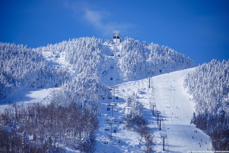
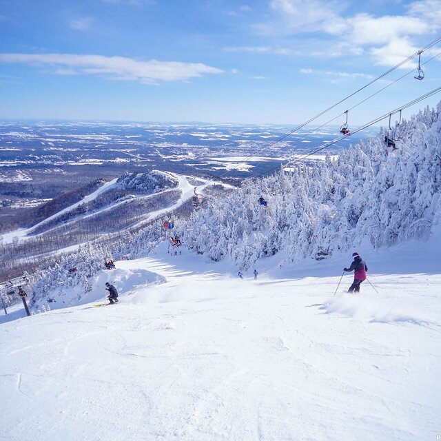
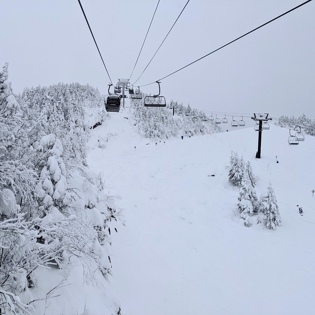
Latest snow reports near Mont Orford:
| Top snow depth: | — |
|---|---|
| Bottom snow depth: | — |
| Fresh snowfall depth: | — |
| Last snowfall: | 2 May 2026 |
| Snow Alerts | Create Alert |
0.0 | Bluebird Powder days Fresh snow, mostly sunny, light wind. |
|---|---|
0.1 | Powder days Fresh snow, limited sun, any wind. |
0.0 | Bluebird days Average snow, mostly sunny, light wind. |

The above table gives the weather forecast for Mont Orford at the specific elevation of 583 m. Our sophisticated weather models allow us to provide snow forecasts for the top, middle and bottom ski stations of Mont Orford. To access the weather forecasts for the other elevations, use the tab navigation above the table. For a wider view of the weather, check out the Weather Map of Canada.
Click here to read further information on freezing levels and how we forecast our temperatures.
Overall 4.0 Based on 3 votes and 1 review
Skied Mont Orford for the first time Dec 30/19 to Jan 2/19. Family of 5: 2 adults, 2 youth(13 & 16), 1 child(10yo), all of whom have been skiing for about 7 years (Bristol Mtn, Gore, Mt Ste. Anne, Massif, Tremblant). Very icy the first day but got a great dump of snow for the next three days. Stuck to the greens and blues as the blacks were very icy due to wind. The 4km and Famiiliale were quite good as well as Magog. The kids loved Escapade and Foret Magique. There is only one real building but it is large and we had no problems finding space for our stuff. There is a microwave in the basement along with nice washrooms. There were really only two lifts: express quad and an express hybrid (6 seat lift/8 seat gondola). There was a triple working every once in a while part way up the main hill. The lift lines can get long, especially for the quad - lots of switchbacks. The staff was exceptionally nice and put up with my terrible French and switched to English with no problems. It is nice buying lift tickets inside rather than waiting in the cold. There was only a long line on our last day but it moved very quickly. The views from the summits are gorgeous. You can see across the valley and the lake to Owl's Head, another resort. The town of Magog is larger than you think and has everything you need (multiple grocery stores, CTC, Walmart). There is also a 2.5km ice skating trail down by the lake that is free (parking costs a little bit).
Andrea from Canada writes:
Skied Mont Orford for the first time Dec 30/19 to Jan 2/19. Family of 5: 2 adults, 2 youth(13 & 16), 1 child(10yo), all of whom have been skiing for about 7 years (Bristol Mtn, Gore, Mt Ste. Anne, Massif, Tremblant). Very icy the first day but got a great dump of snow for the next three days. Stuck to the greens and blues as the blacks were very icy due to wind. The 4km and Famiiliale were quite good as well as Magog. The kids loved Escapade and Foret Magique. There is only one real building but it is large and we had no problems finding space for our stuff. There is a microwave in the basement along with nice washrooms. There were really only two lifts: express quad and an express hybrid (6 seat lift/8 seat gondola). There was a triple working every once in a while part way up the main hill. The lift lines can get long, especially for the quad - lots of switchbacks. The staff was exceptionally nice and put up with my terrible French and switched to English with no problems. It is nice buying lift tickets inside rather than waiting in the cold. There was only a long line on our last day but it moved very quickly. The views from the summits are gorgeous. You can see across the valley and the lake to Owl's Head, another resort. The town of Magog is larger than you think and has everything you need (multiple grocery stores, CTC, Walmart). There is also a 2.5km ice skating trail down by the lake that is free (parking costs a little bit).


 Nearest