

Global Weekly Snow Roundup #314
Weekly Global Snow News, updated 14 May 2026: Fresh snowfall in Argentina, Australia and Lesotho signals winter’s approach, while Japan maintains the world’s deepest snowpack.

Next 4 days weather summary:Mostly dry. Freeze-thaw conditions (max 11°C on Mon afternoon, min 0°C on Fri night). Wind will be generally light. | Days 5-7 weather summary:Light rain (total 3.0mm), mostly falling on Tue afternoon. Warm (max 20°C on Thu afternoon, min 6°C on Mon night). Wind will be generally light. | |||||||||||||||
Saturday 16 | Sunday 17 | Monday 18 | Tuesday 19 | Wednesday 20 | ||||||||||||
night | AM | PM | night | AM | PM | night | AM | PM | night | AM | PM | night | AM | PM | night | |
clear | clear | some clouds | some clouds | cloudy | some clouds | some clouds | cloudy | some clouds | cloudy | cloudy | rain shwrs | rain shwrs | clear | clear | clear | |
km/h | ||||||||||||||||
Snow map | 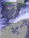 | 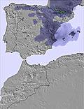 | 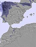 | 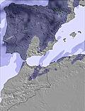 | 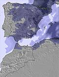 | 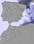 | ||||||||||
— | — | — | — | — | — | — | — | — | — | — | — | — | — | — | — | |
— | — | — | — | — | — | — | — | — | — | — | 2 | 1 | — | — | — | |
max °C | 5 | 4 | 8 | 6 | 5 | 10 | 8 | 8 | 11 | 8 | 9 | 12 | 11 | 14 | 19 | 18 |
min °C | 0 | 1 | 7 | 2 | 3 | 9 | 4 | 5 | 11 | 6 | 7 | 12 | 8 | 10 | 17 | 13 |
-4 | -3 | 5 | -2 | 1 | 9 | 4 | 3 | 10 | 3 | 4 | 10 | 8 | 9 | 17 | 11 | |
58 | 76 | 68 | 81 | 85 | 63 | 65 | 67 | 54 | 95 | 94 | 81 | 67 | 63 | 42 | 44 | |
2650 | 2500 | 2650 | 2450 | 2350 | 2600 | 2750 | 3150 | 3150 | 3100 | 3300 | 3350 | 3650 | 3800 | 3600 | 3700 | |
— | 7:07 | — | — | 7:05 | — | — | 7:05 | — | — | 7:03 | — | — | 7:03 | — | — | |
— | — | — | 9:44 | — | — | 9:45 | — | — | 9:45 | — | — | 9:46 | — | — | 9:47 | |
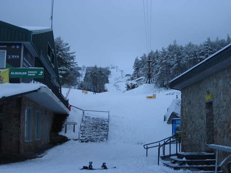
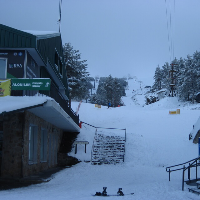
Latest snow reports near Manzaneda:
| Top snow depth: | — |
|---|---|
| Bottom snow depth: | — |
| Fresh snowfall depth: | 1 cm |
| Last snowfall: | 4 May 2026 |
| Snow Alerts | Create Alert |
0.0 | Bluebird Powder days Fresh snow, mostly sunny, light wind. |
|---|---|
0.0 | Powder days Fresh snow, limited sun, any wind. |
0.0 | Bluebird days Average snow, mostly sunny, light wind. |
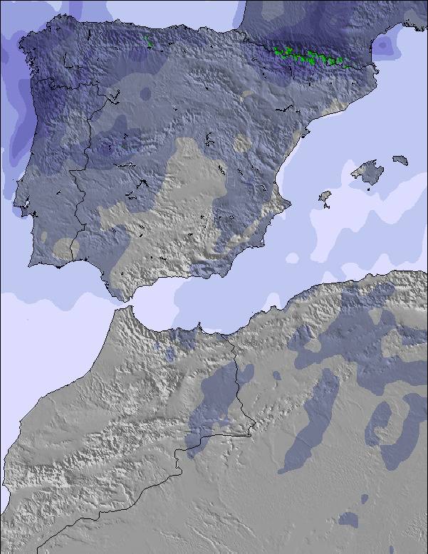
The above table gives the weather forecast for Manzaneda at the specific elevation of 1500 m. Our sophisticated weather models allow us to provide snow forecasts for the top, middle and bottom ski stations of Manzaneda. To access the weather forecasts for the other elevations, use the tab navigation above the table. For a wider view of the weather, check out the Weather Map of Spain.
Click here to read further information on freezing levels and how we forecast our temperatures.
Overall 3.0 Based on 41 votes and 14 reviews
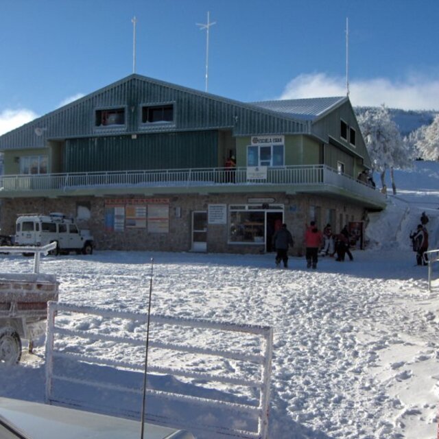
Manzaneda is a labyrinth of blue and red runs down the mountain and through the forest, allowing dozens of different 2-3km routes from summit to base; Enough to never have to take the same route twice in a day, or more than twice in a weekend. Unfortunately, because of chronic snow shortage and lack of snow-making, it only opens fully for a few weekends a season so lack of staff means very poor piste maintenance. This also means that Manzaneda is not suitable for pre-planned trips but if you are in the area after a big snowfall and arrive early enough not to have to park kilometers away from the station, you could enjoy as fine a day's skiing as anywhere in the Alps or Rockies.
Skier from Porto from Portugal writes:
Manzaneda is a labyrinth of blue and red runs down the mountain and through the forest, allowing dozens of different 2-3km routes from summit to base; Enough to never have to take the same route twice in a day, or more than twice in a weekend.
Unfortunately, because of chronic snow shortage and lack of snow-making, it only opens fully for a few weekends a season so lack of staff means very poor piste maintenance.
This also means that Manzaneda is not suitable for pre-planned trips but if you are in the area after a big snowfall and arrive early enough not to have to park kilometers away from the station, you could enjoy as fine a day's skiing as anywhere in the Alps or Rockies.


 Nearest