

Global Weekly Snow Roundup #314
Weekly Global Snow News, updated 14 May 2026: Fresh snowfall in Argentina, Australia and Lesotho signals winter’s approach, while Japan maintains the world’s deepest snowpack.

Next 4 days weather summary:Heavy rain (total 34.0mm), heaviest during Sun night. Very mild (max 17°C on Fri night, min 3°C on Sat night). Winds decreasing (fresh winds from the NW on Sat afternoon, calm by Sun night). | Days 5-7 weather summary:Moderate rain (total 12.0mm), heaviest on Mon night. Freeze-thaw conditions (max 10°C on Thu afternoon, min 0°C on Tue night). Wind will be generally light. | |||||||||||||||
Saturday 16 | Sunday 17 | Monday 18 | Tuesday 19 | Wednesday 20 | ||||||||||||
night | AM | PM | night | AM | PM | night | AM | PM | night | AM | PM | night | AM | PM | night | |
clear | clear | clear | clear | some clouds | cloudy | heavy rain | mod. rain | light rain | mod. rain | cloudy | cloudy | light snow | some clouds | some clouds | some clouds | |
km/h | ||||||||||||||||
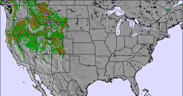
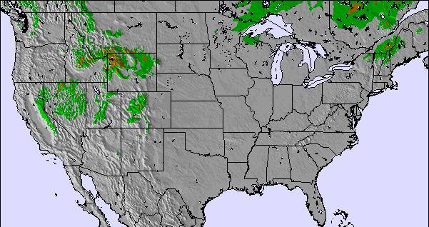
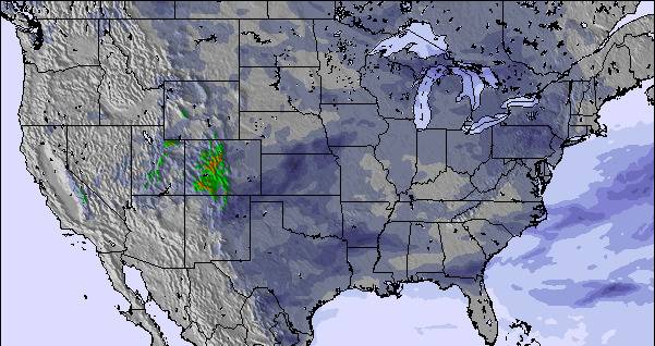
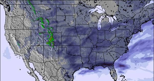
Snow map |  |  |  | 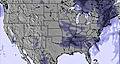 | 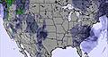 | 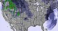 | ||||||||||
— | — | — | — | — | — | — | — | — | — | — | — | — | — | — | — | |
— | — | — | — | — | — | 24 | 9 | 1 | 10 | — | — | — | — | — | — | |
max °C | 17 | 13 | 8 | 5 | 7 | 8 | 11 | 11 | 10 | 5 | 4 | 4 | 1 | 6 | 6 | 5 |
min °C | 11 | 11 | 8 | 3 | 6 | 7 | 8 | 9 | 7 | 4 | 4 | 3 | 0 | 3 | 4 | 3 |
8 | 8 | 4 | 1 | 3 | 3 | 4 | 8 | 7 | 4 | 1 | 1 | -4 | -1 | 4 | 1 | |
53 | 59 | 65 | 75 | 64 | 60 | 98 | 98 | 91 | 94 | 94 | 85 | 84 | 62 | 61 | 74 | |
2600 | 2250 | 1650 | 1300 | 3250 | 3200 | 3850 | 3800 | 3850 | 3500 | 3150 | 1050 | 550 | 950 | 1600 | 1700 | |
— | 5:24 | — | — | 5:22 | — | — | 5:22 | — | — | 5:20 | — | — | 5:18 | — | — | |
— | — | 8:34 | — | — | 8:35 | — | — | 8:37 | — | — | 8:37 | — | — | 8:38 | — | |
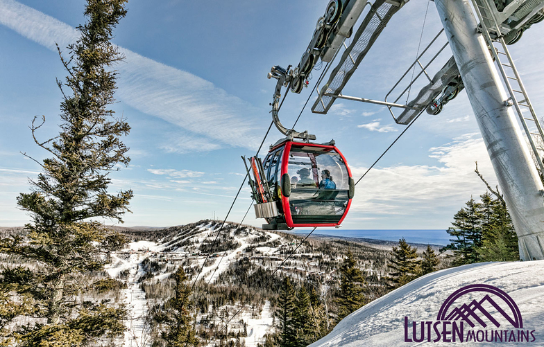
Latest snow reports near Lutsen Mountains:
| Top snow depth: | 0 cm |
|---|---|
| Bottom snow depth: | 0 cm |
| Fresh snowfall depth: | — |
| Last snowfall: | 8 Apr 2026 |
| Snow Alerts | Create Alert |
0.0 | Bluebird Powder days Fresh snow, mostly sunny, light wind. |
|---|---|
0.0 | Powder days Fresh snow, limited sun, any wind. |
0.0 | Bluebird days Average snow, mostly sunny, light wind. |
The above table gives the weather forecast for Lutsen Mountains at the specific elevation of 514 m. Our sophisticated weather models allow us to provide snow forecasts for the top, middle and bottom ski stations of Lutsen Mountains. To access the weather forecasts for the other elevations, use the tab navigation above the table. For a wider view of the weather, check out the Weather Map of United States.
Click here to read further information on freezing levels and how we forecast our temperatures.
Overall 3.6 Based on 3 votes and 6 reviews
Lutsen Mountain ski package website is taking part in a scam! The insurance offered is a scam! The numbers listed on the Lutsen site go to a scammer that tries to steal your information! After discovering this I contacted Lutsen and they deny it and allow it to continue! They are involved in fraudulent activity and continue to allow their customers to be scammed!
Victoria from United States writes:
Lutsen Mountain ski package website is taking part in a scam! The insurance offered is a scam! The numbers listed on the Lutsen site go to a scammer that tries to steal your information! After discovering this I contacted Lutsen and they deny it and allow it to continue! They are involved in fraudulent activity and continue to allow their customers to be scammed!


 Nearest