Weather Forecast for Les Marecottes - Salvan at2555m altitude
Issued: 1 am 09 Jun 2026 (local time)
Forecast update in hr min
Next snow in Les Marécottes - Salvan: 0.4cm on Wed 10th
View forecast
Les Marécottes - Salvanat 2555 m altitude
Issued by Snow-Forecast.com at:1 am (local time) / 09 Jun 2026
Last 6 daysScroll left for last 6 daysNow
Next 3 days weather summary:
Light rain (total 6.0mm), mostly falling on Tue morning. Freeze-thaw conditions (max 5°C on Tue morning, min -2°C on Wed night). Wind will be generally light.
Days 4-6 weather summary:
Mostly dry. Mild temperatures (max 9°C on Sat afternoon, min 1°C on Fri morning). Wind will be generally light.
The above table gives the weather forecast for Les Marécottes - Salvan at the specific elevation of 2555 m. Our sophisticated weather models allow us to provide snow forecasts for the top, middle and bottom ski stations of Les Marécottes - Salvan. To access the weather forecasts for the other elevations, use the tab navigation above the table. For a wider view of the weather, check out the Weather Map of Switzerland.
Click here to read further information on freezing levels and how we forecast our temperatures.
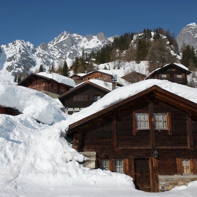
Resort name is also written as Les Marecottes - Salvan.
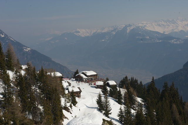
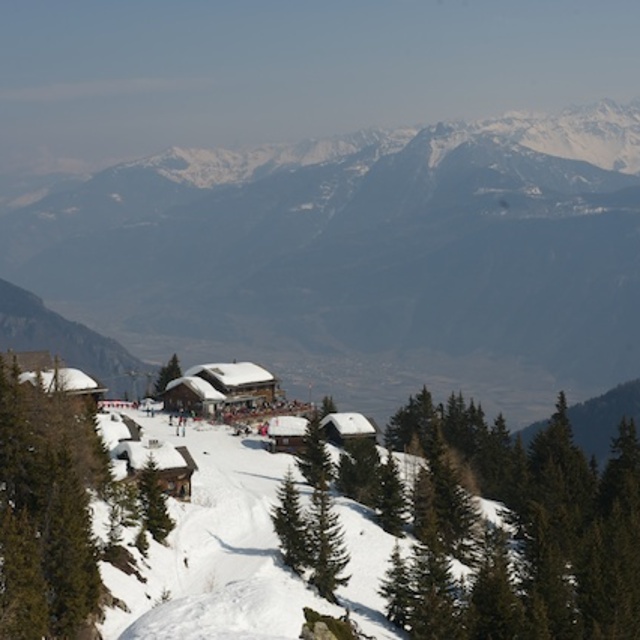
We skied at Les Marecottes for the first time last year and were utterly impressed. The resort is easily accessible - just minutes from the motorway, inbetween Verbier and Chamonix. While it's not a huge resort, the skiing is some of the best we've had. What struck us most was the lay-out of the pistes which ensured that our younger kids always skied past the restaurant terrace and there's no chance they'd end up who knows where. Our older boy had plenty of 'off-piste' to devour which is found right next to the lifts. There were no queues nor the mad morning rush after the snow fall. The village itself is untouched by development - no apartment blocks - something of a rarity. So, all this considered and knowing the kids were happy to get rid of us for a change, gave us the peace of mind we needed (and earned!). Well worth looking into. MH
We skied at Les Marecottes for the first time last year and were utterly impressed. The resort is easily accessible - just minutes from the motorway, inbetween Verbier and Chamonix. While it's not a huge resort, the skiing is some of the best we've had. What struck us most was the lay-out of the pistes which ensured that our younger kids always skied past the restaurant terrace and there's no chance they'd end up who knows where. Our older boy had plenty of 'off-piste' to devour which is found right next to the lifts. There were no queues nor the mad morning rush after the snow fall. The village itself is untouched by development - no apartment blocks - something of a rarity. So, all this considered and knowing the kids were happy to get rid of us for a change, gave us the peace of mind we needed (and earned!). Well worth looking into. MH
Free Snow-Forecast.com weather widget for your website
Embed the Les Marécottes - Salvan weather widget on your site for free. It provides a weekly snapshot of snow and rain conditions across all elevations. Follow the two quick steps to grab your custom code and paste it into your site. Choose between metric or imperial units. Click here to get the code.


 Nearest