

Global Weekly Snow Roundup #314
Weekly Global Snow News, updated 14 May 2026: Fresh snowfall in Argentina, Australia and Lesotho signals winter’s approach, while Japan maintains the world’s deepest snowpack.

Next 3 days weather summary:A dusting of snow on Sat afternoon. Freezing level rising with drizzle on Sun night. Freeze-thaw conditions (max 4°C on Sun afternoon, min -5°C on Sat morning). Wind will be generally light. | Days 4-6 weather summary:Light rain (total 5.0mm), mostly falling on Tue afternoon. Very mild (max 11°C on Thu afternoon, min 1°C on Tue morning). Wind will be generally light. | |||||||||||||||||
Saturday 16 | Sunday 17 | Monday 18 | Tuesday 19 | Wednesday 20 | Thursday 21 | |||||||||||||
AM | PM | night | AM | PM | night | AM | PM | night | AM | PM | night | AM | PM | night | AM | PM | night | |
snow shwrs | light snow | snow shwrs | some clouds | some clouds | rain shwrs | light snow | light snow | light snow | cloudy | light rain | light rain | some clouds | some clouds | some clouds | some clouds | clear | clear | |
km/h | ||||||||||||||||||
Snow map |  |  |  |  |  |  | ||||||||||||
— | 1 | — | — | — | — | — | 2 | 1 | — | — | — | — | — | — | — | — | — | |
— | — | — | — | — | 1 | — | — | — | — | 3 | 2 | — | — | — | — | — | — | |
max °C | -3 | -2 | -1 | 1 | 4 | 2 | 1 | 2 | 2 | 3 | 3 | 3 | 5 | 8 | 7 | 9 | 11 | 10 |
min °C | -5 | -3 | -3 | -1 | 3 | 0 | 0 | 1 | 0 | 1 | 3 | 3 | 3 | 8 | 5 | 6 | 11 | 8 |
-5 | -6 | -3 | -1 | 3 | -2 | -2 | -3 | -2 | 0 | 0 | 1 | 3 | 7 | 5 | 6 | 11 | 8 | |
81 | 75 | 77 | 41 | 67 | 82 | 84 | 84 | 92 | 77 | 94 | 89 | 70 | 62 | 65 | 43 | 50 | 52 | |
1700 | 1900 | 1350 | 2300 | 2500 | 2100 | 2250 | 2300 | 2150 | 2500 | 2650 | 2600 | 2900 | 3100 | 3400 | 3600 | 3600 | 4000 | |
5:56 | — | — | 5:56 | — | — | 5:54 | — | — | 5:54 | — | — | 5:52 | — | — | 5:52 | — | — | |
— | — | 8:58 | — | — | 8:59 | — | — | 9:00 | — | — | 9:01 | — | — | 9:02 | — | — | 9:04 | |
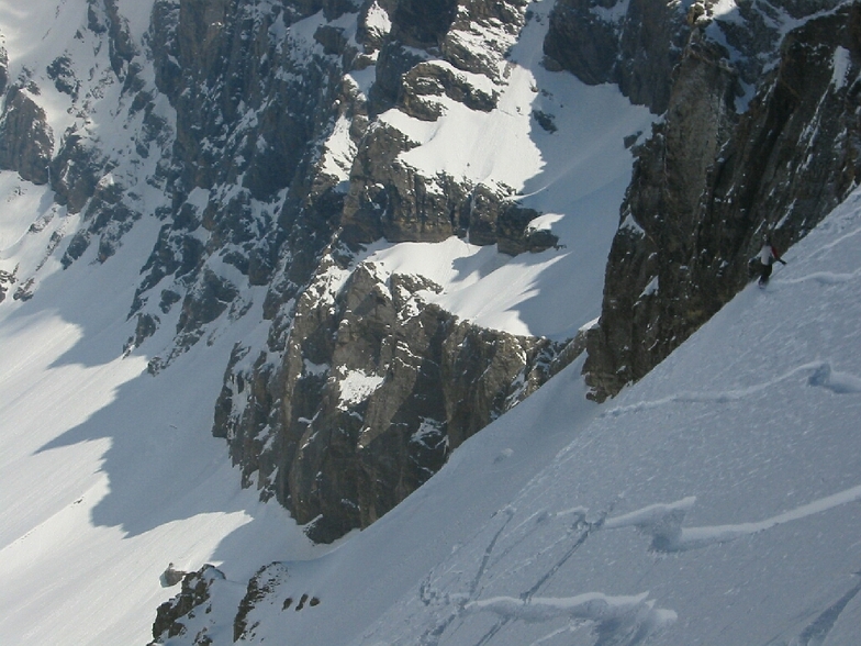
Latest snow reports near Les Diablerets:
| Top snow depth: | — |
|---|---|
| Bottom snow depth: | — |
| Fresh snowfall depth: | 16 cm |
| Last snowfall: | 15 May 2026 |
| Snow Alerts | Create Alert |
0.4 | Bluebird Powder days Fresh snow, mostly sunny, light wind. |
|---|---|
0.7 | Powder days Fresh snow, limited sun, any wind. |
0.1 | Bluebird days Average snow, mostly sunny, light wind. |
The above table gives the weather forecast for Les Diablerets at the specific elevation of 2100 m. Our sophisticated weather models allow us to provide snow forecasts for the top, middle and bottom ski stations of Les Diablerets. To access the weather forecasts for the other elevations, use the tab navigation above the table. For a wider view of the weather, check out the Weather Map of Switzerland.
Click here to read further information on freezing levels and how we forecast our temperatures.
Overall 4.3 Based on 22 votes and 11 reviews
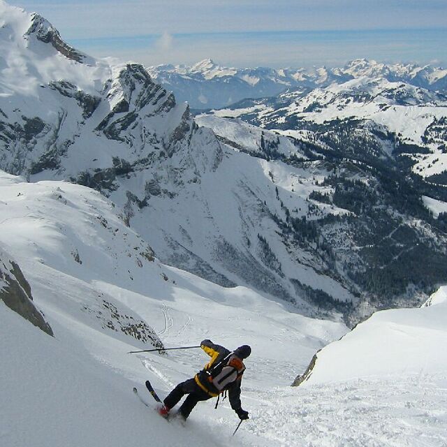
Les Diablerets is linked to the Glacier3000 with a regular Free Ski Bus throughout the Day. We stayed near Vers L'Eglise which was wonderful and easy to get to the ski lifts where parking is free. Great skiing with links via chair to Villars so the skiing is very varied and substantial. Would highly recommend this resort for all abilities. We were there for New Year week. We had great snow. The Downhill Junior Olympics are being held in Les Diablerets this weekend so we skied an Olympic Run! Highly recommend this resort.
Maria from United Kingdom writes:
Les Diablerets is linked to the Glacier3000 with a regular Free Ski Bus throughout the Day.
We stayed near Vers L'Eglise which was wonderful and easy to get to the ski lifts where parking is free.
Great skiing with links via chair to Villars so the skiing is very varied and substantial.
Would highly recommend this resort for all abilities.
We were there for New Year week. We had great snow.
The Downhill Junior Olympics are being held in Les Diablerets this weekend so we skied an Olympic Run! Highly recommend this resort.


 Nearest