

Global Weekly Snow Roundup #318
Weekly Snow News for the world, updated 11 June 2026: Australia's season begins, Val d’Isère reopens and major snowfall is forecast for the Andes.

Next 3 days weather summary:Light rain (total 6.0mm), mostly falling on Sun afternoon. Very mild (max 15°C on Sat afternoon, min 8°C on Fri morning). Wind will be generally light. | Days 4-6 weather summary:Heavy rain (total 25.0mm), heaviest during Mon afternoon. Very mild (max 14°C on Wed afternoon, min 8°C on Mon afternoon). Wind will be generally light. | |||||||||||||||||
Friday 12 | Saturday 13 | Sunday 14 | Monday 15 | Tuesday 16 | Wednesday 17 | |||||||||||||
AM | PM | night | AM | PM | night | AM | PM | night | AM | PM | night | AM | PM | night | AM | PM | night | |
clear | clear | clear | clear | clear | some clouds | clear | t-storm risk | rain shwrs | t-storm risk | heavy rain | rain shwrs | some clouds | light rain | clear | clear | light rain | rain shwrs | |
km/h | ||||||||||||||||||
Snow map | 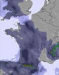 | 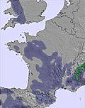 | 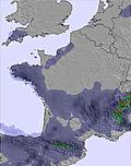 | 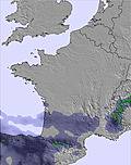 |  |  | ||||||||||||
— | — | — | — | — | — | — | — | — | — | — | — | — | — | — | — | — | — | |
— | — | — | — | — | — | — | 5 | 1 | 1 | 13 | 8 | — | 1 | — | — | 1 | 1 | |
max °C | 11 | 13 | 12 | 13 | 15 | 13 | 13 | 14 | 12 | 11 | 10 | 9 | 10 | 11 | 11 | 12 | 14 | 13 |
min °C | 8 | 12 | 9 | 11 | 14 | 11 | 11 | 10 | 11 | 11 | 8 | 8 | 9 | 11 | 10 | 11 | 13 | 11 |
6 | 11 | 7 | 11 | 14 | 11 | 10 | 9 | 10 | 11 | 8 | 7 | 8 | 11 | 9 | 11 | 13 | 11 | |
30 | 34 | 26 | 21 | 40 | 61 | 49 | 77 | 59 | 65 | 89 | 67 | 67 | 73 | 69 | 64 | 70 | 62 | |
4100 | 4150 | 4350 | 4250 | 4300 | 4200 | 4050 | 4000 | 4050 | 3850 | 3750 | 3850 | 3750 | 3900 | 4050 | 4100 | 4250 | 4350 | |
6:13 | — | — | 6:13 | — | — | 6:13 | — | — | 6:13 | — | — | 6:13 | — | — | 6:13 | — | — | |
— | — | 9:29 | — | — | 9:29 | — | — | 9:30 | — | — | 9:30 | — | — | 9:30 | — | — | 9:30 | |
Go pro and carve into:
Avalanche information: European Avalanche Warning Services (EAWS)
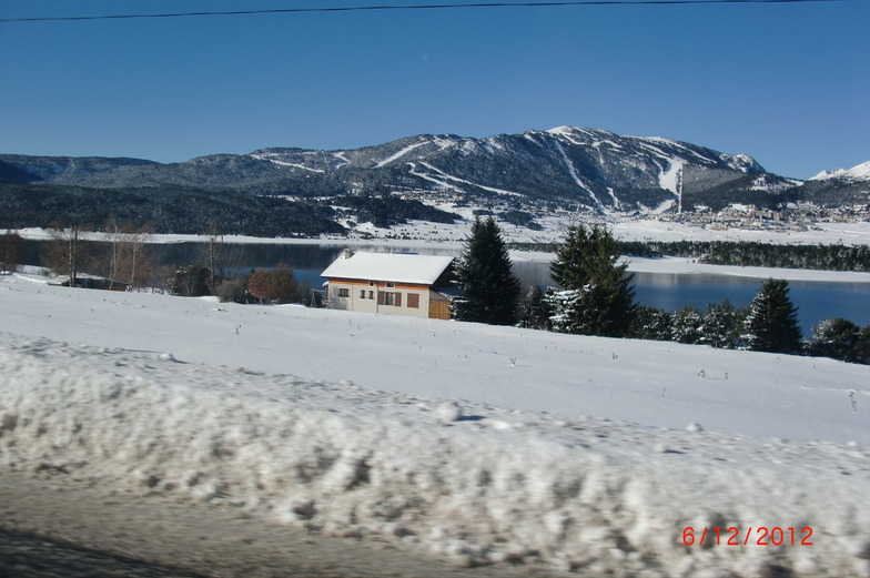
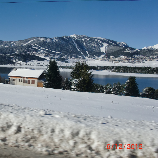
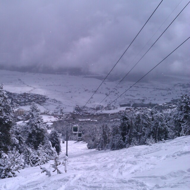
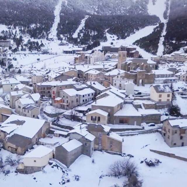
Latest snow reports near Les Angles:
| Top snow depth: | 0 cm |
|---|---|
| Bottom snow depth: | 0 cm |
| Fresh snowfall depth: | — |
| Last snowfall: | 17 May 2026 |
| Snow Alerts | Create Alert |
0.0 | Bluebird Powder days Fresh snow, mostly sunny, light wind. |
|---|---|
0.0 | Powder days Fresh snow, limited sun, any wind. |
0.0 | Bluebird days Average snow, mostly sunny, light wind. |
The above table gives the weather forecast for Les Angles at the specific elevation of 2400 m. Our sophisticated weather models allow us to provide snow forecasts for the top, middle and bottom ski stations of Les Angles. To access the weather forecasts for the other elevations, use the tab navigation above the table. For a wider view of the weather, check out the Weather Map of France.
Click here to read further information on freezing levels and how we forecast our temperatures.
Overall 3.9 Based on 15 votes and 8 reviews
I reviewed Les Angles in 2007 and we returned there for the fourth time in March 2010 for 4 days skiing with a group of friends. The resort had just had a fall of snow and there was powder about so ski conditions were excellent. All the pistes were open, it was uncrowded and we really had a great time there again. We stayed at the Yaka Hotel right beside the piste and as ever we were treated like royalty. This is an excellent resort for beginners and intermediates and I would highly recommend it. It's great for families and mixed ability groups and is hard to beat in terms of friendliness and value. For those who want to ski something different the nearby resorts of Font Romeu and Formigueres are easily reachable from Les Angles and are within 20 minutes drive.
Tony Pembroke from Ireland writes:
I reviewed Les Angles in 2007 and we returned there for the fourth time in March 2010 for 4 days skiing with a group of friends. The resort had just had a fall of snow and there was powder about so ski conditions were excellent. All the pistes were open, it was uncrowded and we really had a great time there again. We stayed at the Yaka Hotel right beside the piste and as ever we were treated like royalty. This is an excellent resort for beginners and intermediates and I would highly recommend it. It's great for families and mixed ability groups and is hard to beat in terms of friendliness and value. For those who want to ski something different the nearby resorts of Font Romeu and Formigueres are easily reachable from Les Angles and are within 20 minutes drive.


 Nearest