

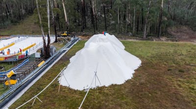
🇦🇺🇳🇿 Southern Hemisphere Weekly Snow Roundup #316
Weekly Snow News for the Southern Hemisphere, updated 28 May 2026: Cold temperatures, snowmaking and light snowfall raise optimism ahead of Australia and New Zealand’s 2026 ski season openings.

Next 3 days weather summary:A dusting of new snow. Temperatures will be below freezing (max 0°C on Thu morning, min -5°C on Thu night). Wind will be generally light. | Days 4-6 weather summary:A light covering of new snow, mostly falling on Mon night. Temperatures will be below freezing (max -1°C on Mon morning, min -5°C on Sun night). Wind will be generally light. | |||||||||||||||||
Thursday 28 | Friday 29 | Saturday 30 | Sunday 31 | Monday 1 | Tuesday 2 | |||||||||||||
AM | PM | night | AM | PM | night | AM | PM | night | AM | PM | night | AM | PM | night | AM | PM | night | |
clear | snow shwrs | snow shwrs | snow shwrs | light snow | snow shwrs | snow shwrs | snow shwrs | snow shwrs | snow shwrs | snow shwrs | snow shwrs | snow shwrs | light snow | light snow | snow shwrs | light snow | light snow | |
km/h | ||||||||||||||||||
Snow map | 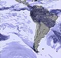 | 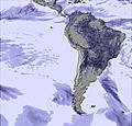 | 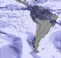 |  |  |  | ||||||||||||
— | — | — | — | — | 1 | — | — | — | — | 1 | 1 | — | 1 | 2 | — | 1 | 2 | |
— | — | — | — | — | — | — | — | — | — | — | — | — | — | — | — | — | — | |
max °C | 0 | -1 | -4 | -1 | -2 | -4 | -1 | -1 | -4 | -2 | -2 | -4 | -1 | -1 | -3 | -1 | -2 | -3 |
min °C | -1 | -4 | -5 | -1 | -3 | -5 | -2 | -3 | -5 | -3 | -3 | -5 | -2 | -2 | -5 | -2 | -3 | -5 |
-6 | -9 | -10 | -4 | -6 | -8 | -2 | -5 | -5 | -3 | -3 | -5 | -2 | -2 | -5 | -4 | -7 | -9 | |
24 | 37 | 44 | 33 | 61 | 77 | 40 | 45 | 52 | 53 | 76 | 76 | 44 | 52 | 73 | 42 | 58 | 56 | |
5400 | 5500 | 5100 | 5450 | 5400 | 4950 | 5300 | 5450 | 5000 | 5200 | 5350 | 5050 | 5350 | 5550 | 5100 | 5350 | 5450 | 5150 | |
6:18 | — | — | 6:18 | — | — | 6:18 | — | — | 6:18 | — | — | 6:18 | — | — | 6:18 | — | — | |
— | 5:55 | — | — | 5:55 | — | — | 5:55 | — | — | 5:57 | — | — | 5:57 | — | — | 5:57 | — | |
Latest snow reports near Huascaran:
| Top snow depth: | — |
|---|---|
| Bottom snow depth: | — |
| Fresh snowfall depth: | — |
| Last snowfall: | 25 May 2026 |
| Snow Alerts | Create Alert |
2.0 | Bluebird Powder days Fresh snow, mostly sunny, light wind. |
|---|---|
0.4 | Powder days Fresh snow, limited sun, any wind. |
2.9 | Bluebird days Average snow, mostly sunny, light wind. |
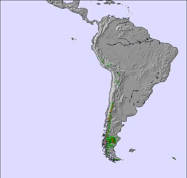
The above table gives the weather forecast for Huascaran at the specific elevation of 5548 m. Our sophisticated weather models allow us to provide snow forecasts for the top, middle and bottom ski stations of Huascaran. To access the weather forecasts for the other elevations, use the tab navigation above the table. For a wider view of the weather, check out the Weather Map of Peru.
Click here to read further information on freezing levels and how we forecast our temperatures.
The nearest airport to Huascaran is Anta Airport, with 2 or 3 times by day with a mediun airplane from Lima and that airport is 30' by car to Huaraz . Ivan Bedregal Alpaca Mountain Guide
Ivan Bedregal Alpaca from Peru writes:
The nearest airport to Huascaran is Anta Airport, with 2 or 3 times by day with a mediun airplane from Lima and that airport is 30' by car to Huaraz .
Ivan Bedregal Alpaca
Mountain Guide

 Nearest