

Global Weekly Snow Roundup #314
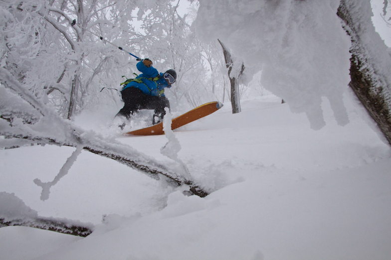
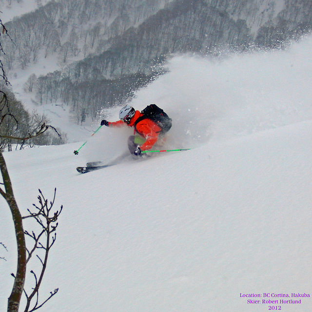
Weekly Global Snow News, updated 14 May 2026: Fresh snowfall in Argentina, Australia and Lesotho signals winter’s approach, while Japan maintains the world’s deepest snowpack.

Next 3 days weather summary:Mostly dry. Warm (max 23°C on Mon morning, min 13°C on Sat night). Wind will be generally light. | Days 4-6 weather summary:Heavy rain (total 48.0mm), heaviest during Thu night. Very mild (max 19°C on Wed morning, min 11°C on Thu afternoon). Wind will be generally light. | ||||||||||||||||
Sat 16 | Sunday 17 | Monday 18 | Tuesday 19 | Wednesday 20 | Thursday 21 | ||||||||||||
PM | night | AM | PM | night | AM | PM | night | AM | PM | night | AM | PM | night | AM | PM | night | |
clear | clear | clear | clear | clear | clear | clear | clear | some clouds | cloudy | cloudy | cloudy | some clouds | light rain | mod. rain | heavy rain | heavy rain | |
km/h | |||||||||||||||||
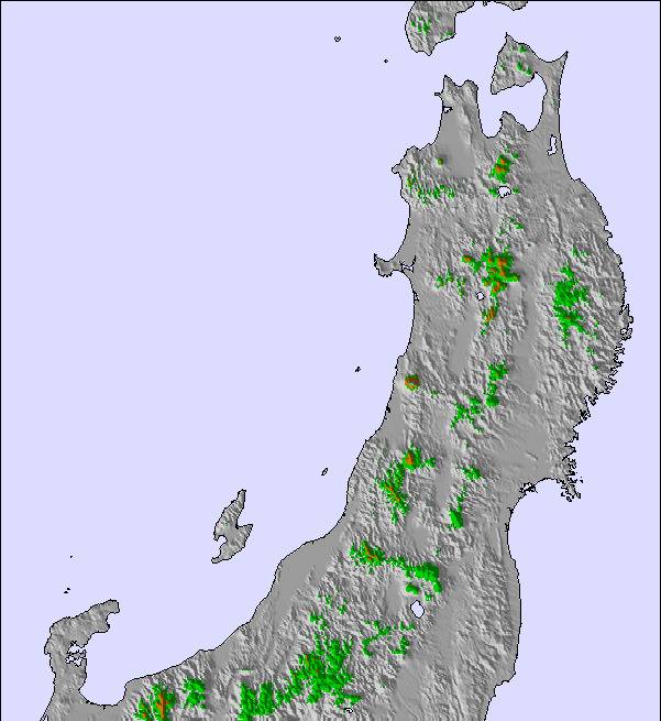
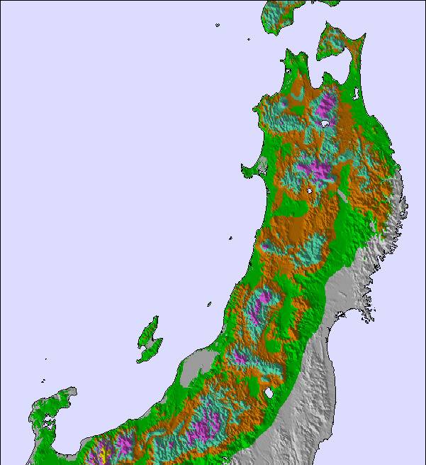
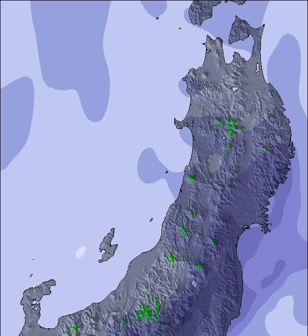
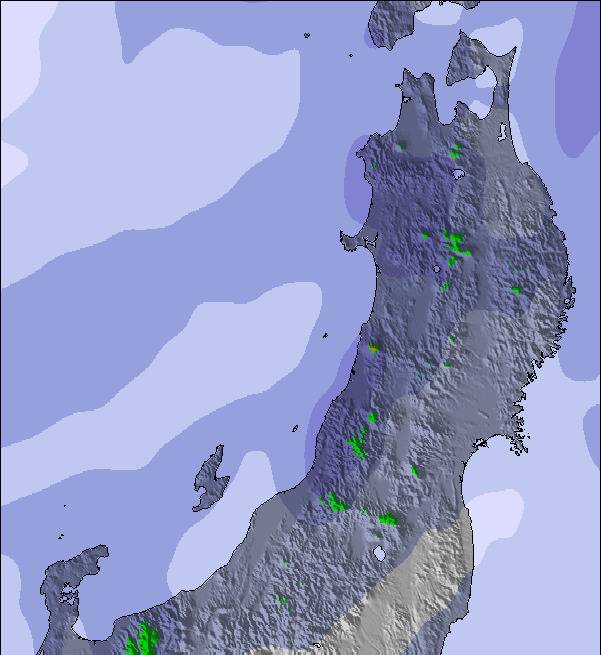
Snow map | 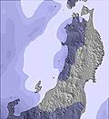 | 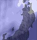 | 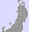 | 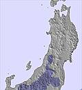 | 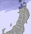 | 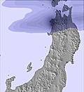 | |||||||||||
— | — | — | — | — | — | — | — | — | — | — | — | — | — | — | — | — | |
— | — | — | — | — | — | — | — | — | — | — | — | — | 4 | 7 | 13 | 20 | |
max °C | 19 | 14 | 20 | 20 | 16 | 23 | 23 | 17 | 21 | 18 | 17 | 19 | 18 | 15 | 13 | 12 | 11 |
min °C | 15 | 13 | 17 | 17 | 15 | 20 | 19 | 17 | 19 | 17 | 15 | 16 | 16 | 13 | 12 | 11 | 11 |
15 | 13 | 17 | 17 | 15 | 20 | 19 | 17 | 19 | 17 | 15 | 16 | 16 | 13 | 11 | 10 | 10 | |
52 | 74 | 42 | 48 | 55 | 44 | 42 | 66 | 57 | 66 | 64 | 57 | 54 | 66 | 94 | 95 | 95 | |
3700 | 3800 | 3800 | 3800 | 4300 | 4450 | 4350 | 4250 | 4200 | 4000 | 3750 | 3600 | 3600 | 3750 | 3500 | 3550 | 3500 | |
— | — | 4:39 | — | — | 4:39 | — | — | 4:37 | — | — | 4:37 | — | — | 4:37 | — | — | |
6:49 | — | — | 6:50 | — | — | 6:50 | — | — | 6:51 | — | — | 6:52 | — | — | 6:52 | — | |
Latest snow reports near Hakuba Cortina Kokusai:
| Top snow depth: | — |
|---|---|
| Bottom snow depth: | — |
| Fresh snowfall depth: | — |
| Last snowfall: | 7 Apr 2026 |
| Snow Alerts | Create Alert |
0.0 | Bluebird Powder days Fresh snow, mostly sunny, light wind. |
|---|---|
0.0 | Powder days Fresh snow, limited sun, any wind. |
0.0 | Bluebird days Average snow, mostly sunny, light wind. |
The above table gives the weather forecast for Hakuba Cortina Kokusai at the specific elevation of 1086 m. Our sophisticated weather models allow us to provide snow forecasts for the top, middle and bottom ski stations of Hakuba Cortina Kokusai. To access the weather forecasts for the other elevations, use the tab navigation above the table. For a wider view of the weather, check out the Weather Map of Japan.
Click here to read further information on freezing levels and how we forecast our temperatures.
Overall 4.0 Based on 3 votes and 5 reviews
My review is of the Kokusai chair lift areas. Very disappointed and not pleasant. Not a place to sit down or take shelter if it’s snowing, barely a place to put your ski on a rack. You have to walk up a hills to drop kids off for ski school then the beginner chair lifts are 500m walk away in deep snow to Sakka chair lift. No lockers here, have to walk in ski boots! Very hard w kids.
Peter from Japan writes:
My review is of the Kokusai chair lift areas. Very disappointed and not pleasant. Not a place to sit down or take shelter if it’s snowing, barely a place to put your ski on a rack. You have to walk up a hills to drop kids off for ski school then the beginner chair lifts are 500m walk away in deep snow to Sakka chair lift. No lockers here, have to walk in ski boots! Very hard w kids.
Read 4 more reviews of Hakuba Cortina Kokusai or submit your own

 Nearest