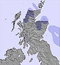
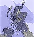
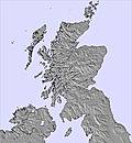
The above table gives the weather forecast for Glenshee at the specific elevation of 654 m. Our sophisticated weather models allow us to provide snow forecasts for the top, middle and bottom ski stations of Glenshee. To access the weather forecasts for the other elevations, use the tab navigation above the table. For a wider view of the weather, check out the Weather Map of United Kingdom.
Click here to read further information on freezing levels and how we forecast our temperatures.
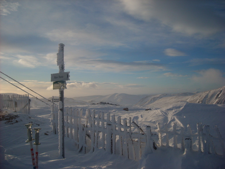
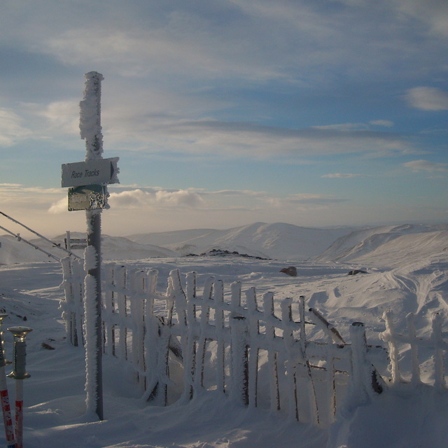
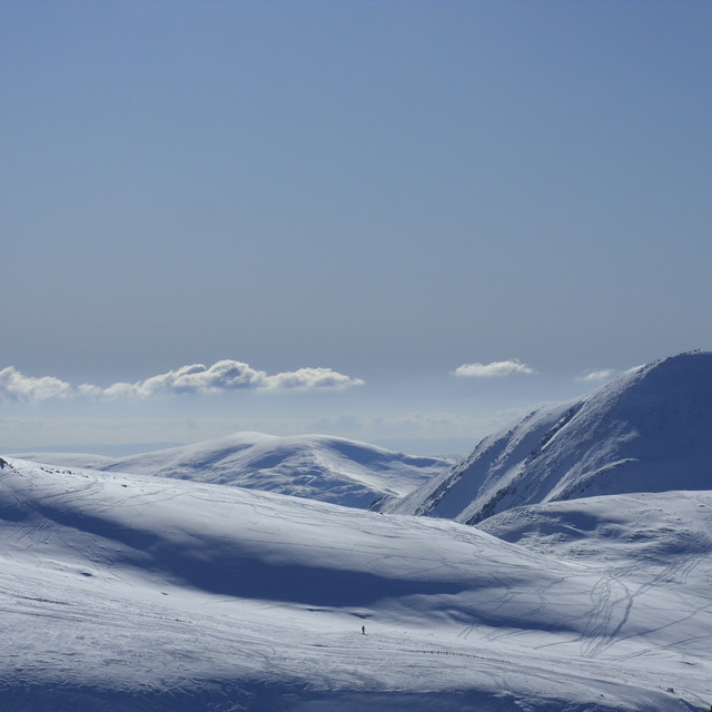
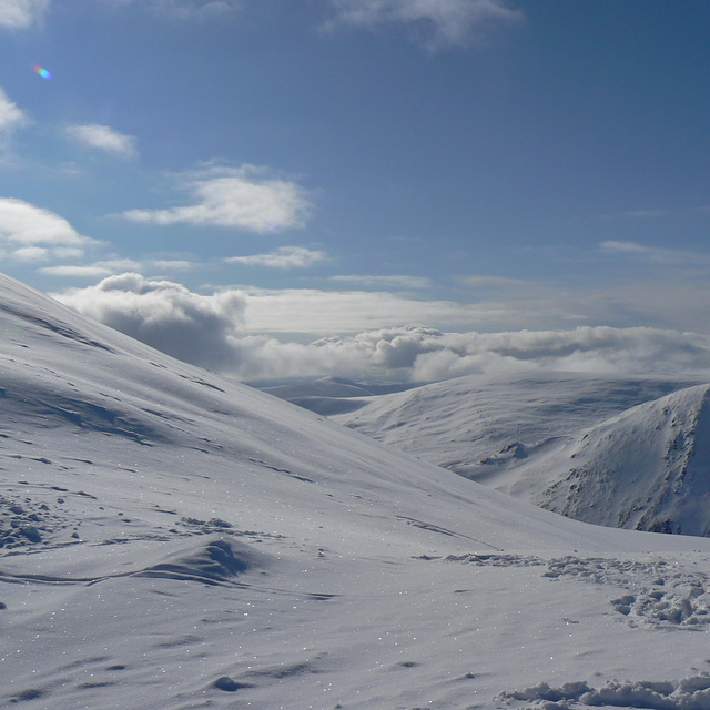
I've skied at Glenshee on and off since 1996. While not on the scale of the Alps, the area is very enjoyable with a variety of runs, especially the Glas Maol area which is wide open and without the snow fencing which characterises the rest of the ski area, allowing multiple lines to be taken. The Scottish weather can be "character forming" at times, but if you watch the weather and choose your days carefully, Scotland is one of the most rewarding places I've ever skied. The sense of "remoteness" and "wilderness" is second to none.
It's also worth noting that the old Cairnwell chair was replaced in 2015.
Free Snow-Forecast.com weather widget for your website
Embed the Glenshee weather widget on your site for free. It provides a weekly snapshot of snow and rain conditions across all elevations. Follow the two quick steps to grab your custom code and paste it into your site. Choose between metric or imperial units. Click here to get the code.


 Nearest