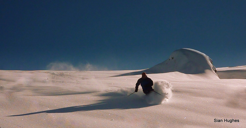


Global Weekly Snow Roundup #314
Weekly Global Snow News, updated 14 May 2026: Fresh snowfall in Argentina, Australia and Lesotho signals winter’s approach, while Japan maintains the world’s deepest snowpack.

Next 3 days weather summary:A dusting of snow turning to light rain (total 6.0mm) on Mon afternoon. Freeze-thaw conditions (max 4°C on Sun afternoon, min -5°C on Sat morning). Wind will be generally light. | Days 4-6 weather summary:Light rain (total 5.0mm), mostly falling on Tue afternoon. Very mild (max 12°C on Thu afternoon, min 2°C on Tue morning). Wind will be generally light. | |||||||||||||||||
Saturday 16 | Sunday 17 | Monday 18 | Tuesday 19 | Wednesday 20 | Thursday 21 | |||||||||||||
AM | PM | night | AM | PM | night | AM | PM | night | AM | PM | night | AM | PM | night | AM | PM | night | |
snow shwrs | light snow | snow shwrs | some clouds | some clouds | rain shwrs | light snow | light rain | light snow | cloudy | light rain | light rain | clear | some clouds | some clouds | some clouds | some clouds | clear | |
km/h | ||||||||||||||||||
Snow map |  |  |  |  |  |  | ||||||||||||
— | 1 | — | — | — | — | — | — | 1 | — | — | — | — | — | — | — | — | — | |
— | — | — | — | — | 1 | — | 4 | 1 | — | 3 | 2 | — | — | — | — | — | — | |
max °C | -4 | -2 | -1 | 2 | 4 | 3 | 1 | 3 | 2 | 3 | 3 | 4 | 6 | 9 | 8 | 10 | 12 | 10 |
min °C | -5 | -3 | -2 | 0 | 3 | 1 | 1 | 3 | 0 | 2 | 3 | 3 | 4 | 8 | 7 | 7 | 12 | 10 |
-7 | -6 | -2 | 0 | 1 | -2 | -2 | 0 | -3 | 0 | 1 | 2 | 4 | 7 | 7 | 7 | 12 | 10 | |
87 | 82 | 69 | 46 | 65 | 79 | 87 | 75 | 96 | 82 | 93 | 80 | 67 | 66 | 60 | 41 | 49 | 44 | |
1550 | 1800 | 1550 | 2300 | 2500 | 2250 | 2250 | 2350 | 2150 | 2500 | 2650 | 2750 | 3000 | 3100 | 3500 | 3700 | 3650 | 4050 | |
6:00 | — | — | 5:58 | — | — | 5:58 | — | — | 5:56 | — | — | 5:56 | — | — | 5:54 | — | — | |
— | — | 8:59 | — | — | 9:00 | — | — | 9:00 | — | — | 9:01 | — | — | 9:02 | — | — | 9:04 | |
Latest snow reports near Flaine:
Light rain reported from Haute-Savoie Mont Blanc Airport/Aéroport Annecy/Meythet at 711 metres elevation only 3 kms WNW of Annecy-LeSemnoz but it is forecast cold enough for snow at the ski area from Annecy-LeSemnoz
| Top snow depth: | — |
|---|---|
| Bottom snow depth: | — |
| Fresh snowfall depth: | 20 cm |
| Last snowfall: | 15 May 2026 |
| Snow Alerts | Create Alert |
0.1 | Bluebird Powder days Fresh snow, mostly sunny, light wind. |
|---|---|
0.6 | Powder days Fresh snow, limited sun, any wind. |
0.1 | Bluebird days Average snow, mostly sunny, light wind. |
The above table gives the weather forecast for Flaine at the specific elevation of 2042 m. Our sophisticated weather models allow us to provide snow forecasts for the top, middle and bottom ski stations of Flaine. To access the weather forecasts for the other elevations, use the tab navigation above the table. For a wider view of the weather, check out the Weather Map of France.
Click here to read further information on freezing levels and how we forecast our temperatures.
Overall 3.9 Based on 72 votes and 74 reviews
Reasonably snowsure compared to other similar ski resorts at the same height and they certainly know how to maintain the pistes. However, the resort is ugly with very little nightlife. Our biggest gripe though was the number of slow lifts and drag lifts. None of the chair lifts are covered, so in bad weather, the slow lifts are a real pain. On a positive note, it is good value for money and a good resort for beginners.
James Relph from France writes:
Reasonably snowsure compared to other similar ski resorts at the same height and they certainly know how to maintain the pistes. However, the resort is ugly with very little nightlife. Our biggest gripe though was the number of slow lifts and drag lifts. None of the chair lifts are covered, so in bad weather, the slow lifts are a real pain.
On a positive note, it is good value for money and a good resort for beginners.


 Nearest