

Global Weekly Snow Roundup #314
Weekly Global Snow News, updated 14 May 2026: Fresh snowfall in Argentina, Australia and Lesotho signals winter’s approach, while Japan maintains the world’s deepest snowpack.

Next 3 days weather summary:A moderate fall of snow, heaviest on Mon night. Temperatures will be below freezing (max -5°C on Sun afternoon, min -12°C on Sat morning). Wind will be generally light. | Days 4-6 weather summary:A dusting of new snow. Freeze-thaw conditions (max 5°C on Thu night, min -4°C on Tue morning). Wind will be generally light. | |||||||||||||||||
Saturday 16 | Sunday 17 | Monday 18 | Tuesday 19 | Wednesday 20 | Thursday 21 | |||||||||||||
AM | PM | night | AM | PM | night | AM | PM | night | AM | PM | night | AM | PM | night | AM | PM | night | |
light snow | light snow | snow shwrs | clear | light snow | light snow | light snow | light snow | snow shwrs | some clouds | light snow | light snow | cloudy | light snow | snow shwrs | clear | some clouds | clear | |
km/h | ||||||||||||||||||
Snow map |  |  |  |  |  |  | ||||||||||||
— | 2 | — | — | — | 3 | — | 4 | 4 | — | — | 2 | — | — | — | — | — | — | |
— | — | — | — | — | — | — | — | — | — | — | — | — | — | — | — | — | — | |
max °C | -11 | -9 | -8 | -6 | -5 | -5 | -6 | -5 | -5 | -3 | -3 | -2 | -2 | 0 | 1 | 2 | 3 | 5 |
min °C | -12 | -10 | -9 | -6 | -6 | -5 | -6 | -5 | -6 | -4 | -4 | -3 | -2 | -1 | 0 | 1 | 2 | 3 |
-19 | -15 | -15 | -6 | -10 | -5 | -9 | -9 | -11 | -4 | -8 | -8 | -7 | -5 | -4 | -3 | 0 | 1 | |
85 | 83 | 76 | 42 | 94 | 94 | 96 | 96 | 83 | 64 | 97 | 90 | 78 | 83 | 54 | 19 | 65 | 17 | |
1500 | 1750 | 1350 | 2150 | 2450 | 2250 | 2250 | 2100 | 2000 | 2450 | 2550 | 2550 | 2750 | 3000 | 3200 | 3400 | 3400 | 3850 | |
5:50 | — | — | 5:50 | — | — | 5:48 | — | — | 5:47 | — | — | 5:46 | — | — | 5:45 | — | — | |
— | — | 8:54 | — | — | 8:55 | — | — | 8:57 | — | — | 8:58 | — | — | 8:59 | — | — | 9:00 | |
Latest snow reports near Engelberg:
Shower light rain shower reported from Alpnach Airport at 444 metres elevation only 4 kms SE of Pilatus / Luzern but it is forecast cold enough for snow at higher elevations in the ski area from Pilatus / Luzern
Light rain reported from Alpnach Airport at 444 metres elevation only 4 kms SE of Pilatus / Luzern but it is forecast cold enough for snow at higher elevations in the ski area from Pilatus / Luzern
| Top snow depth: | — |
|---|---|
| Bottom snow depth: | — |
| Fresh snowfall depth: | 16 cm |
| Last snowfall: | 15 May 2026 |
| Snow Alerts | Create Alert |
0.8 | Bluebird Powder days Fresh snow, mostly sunny, light wind. |
|---|---|
1.5 | Powder days Fresh snow, limited sun, any wind. |
1.1 | Bluebird days Average snow, mostly sunny, light wind. |

The above table gives the weather forecast for Engelberg at the specific elevation of 3020 m. Our sophisticated weather models allow us to provide snow forecasts for the top, middle and bottom ski stations of Engelberg. To access the weather forecasts for the other elevations, use the tab navigation above the table. For a wider view of the weather, check out the Weather Map of Switzerland.
Click here to read further information on freezing levels and how we forecast our temperatures.
Overall 3.8 Based on 32 votes and 21 reviews
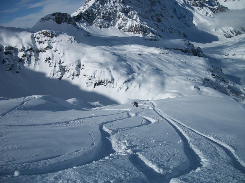
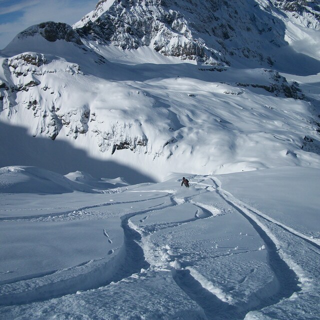
Ok, so it’s been on my bucket list for ages to ski here on a perfect powder day. And it didn’t disappoint. The queues were as bad as all the reviews say, the lifts are shitty. And there were tons of intermediate off-pisters with the fully shiny gear. And yet it was still amazing. The pow was deep, the terrain is amazing. And you pop over a ridge and it just opens out into massive powder fields. But, even when the skiing is this good the experience just sucks and I won’t be rushing back.
Rangerdad from Germany writes:
Ok, so it’s been on my bucket list for ages to ski here on a perfect powder day. And it didn’t disappoint. The queues were as bad as all the reviews say, the lifts are shitty. And there were tons of intermediate off-pisters with the fully shiny gear. And yet it was still amazing. The pow was deep, the terrain is amazing. And you pop over a ridge and it just opens out into massive powder fields. But, even when the skiing is this good the experience just sucks and I won’t be rushing back.


 Nearest