

Global Weekly Snow Roundup #314
Weekly Global Snow News, updated 14 May 2026: Fresh snowfall in Argentina, Australia and Lesotho signals winter’s approach, while Japan maintains the world’s deepest snowpack.

Next 4 days weather summary:A moderate fall of snow, heaviest on Mon morning. Freeze-thaw conditions (max 8°C on Fri night, min -6°C on Mon morning). Wind will be generally light. | Days 5-7 weather summary:A dusting of new snow. Freeze-thaw conditions (max 10°C on Thu afternoon, min -4°C on Mon night). Wind will be generally light. | |||||||||||||||
Saturday 16 | Sunday 17 | Monday 18 | Tuesday 19 | Wednesday 20 | ||||||||||||
night | AM | PM | night | AM | PM | night | AM | PM | night | AM | PM | night | AM | PM | night | |
some clouds | some clouds | cloudy | cloudy | light snow | light snow | light snow | light snow | light snow | light snow | light snow | snow shwrs | snow shwrs | cloudy | clear | clear | |
km/h | ||||||||||||||||
Snow map |  |  |  |  |  |  | ||||||||||
— | — | — | — | — | 2 | 4 | 4 | 1 | 1 | 1 | 2 | — | — | — | — | |
— | — | — | — | — | — | — | — | — | — | — | — | — | — | — | — | |
max °C | 8 | 6 | 4 | 2 | -2 | -2 | -3 | -5 | -3 | -3 | -2 | 0 | 0 | 2 | 5 | 4 |
min °C | 6 | 6 | 4 | -1 | -2 | -3 | -5 | -6 | -3 | -4 | -2 | -1 | 0 | 0 | 4 | 4 |
4 | 3 | -1 | -3 | -2 | -6 | -10 | -13 | -8 | -8 | -6 | -5 | -2 | -3 | 0 | 1 | |
27 | 32 | 56 | 62 | 80 | 95 | 98 | 97 | 84 | 84 | 65 | 75 | 57 | 56 | 45 | 44 | |
3900 | 3750 | 3500 | 3000 | 2600 | 2550 | 2450 | 2050 | 2550 | 2400 | 2600 | 2800 | 2900 | 3000 | 3450 | 3550 | |
— | 6:07 | — | — | 6:07 | — | — | 6:05 | — | — | 6:05 | — | — | 6:03 | — | — | |
— | — | 8:36 | — | — | 8:37 | — | — | 8:37 | — | — | 8:38 | — | — | 8:39 | — | |
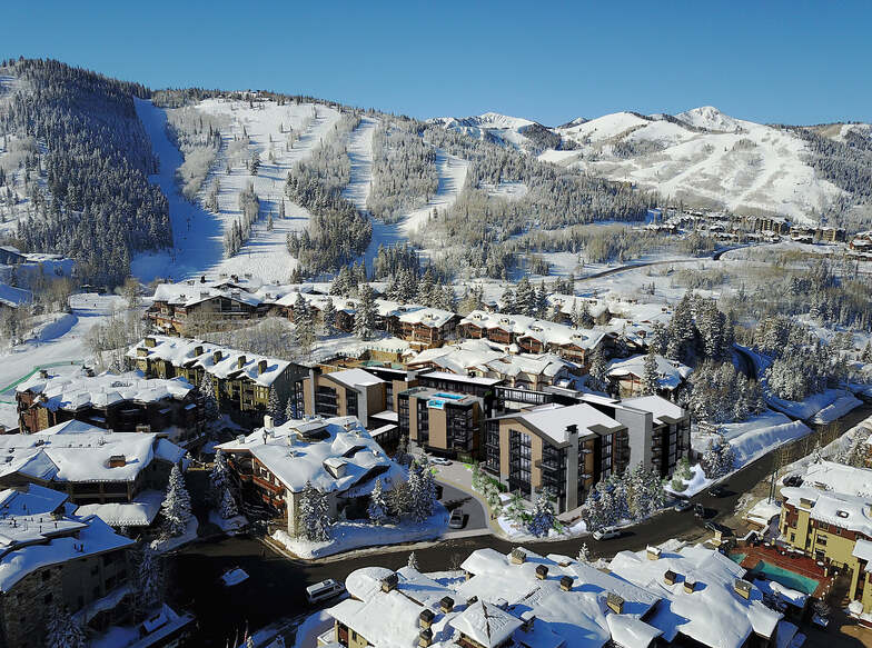
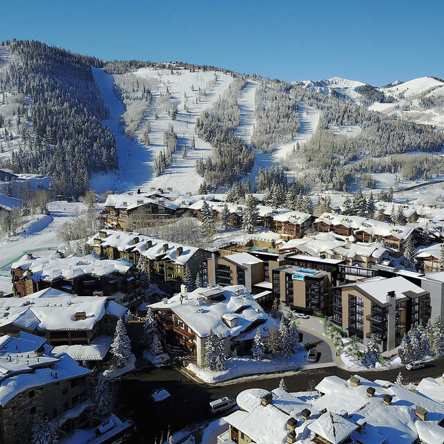
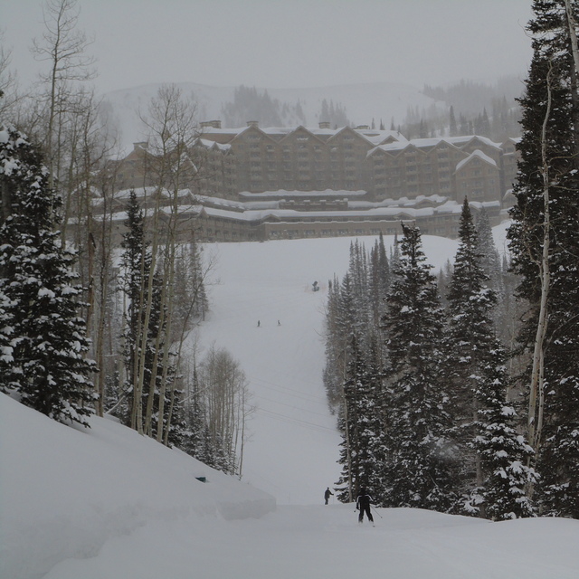
Latest snow reports near Deer Valley:
| Top snow depth: | 0 cm |
|---|---|
| Bottom snow depth: | 0 cm |
| Fresh snowfall depth: | — |
| Last snowfall: | 27 Apr 2026 |
| Snow Alerts | Create Alert |
0.3 | Bluebird Powder days Fresh snow, mostly sunny, light wind. |
|---|---|
0.4 | Powder days Fresh snow, limited sun, any wind. |
0.3 | Bluebird days Average snow, mostly sunny, light wind. |

The above table gives the weather forecast for Deer Valley at the specific elevation of 2917 m. Our sophisticated weather models allow us to provide snow forecasts for the top, middle and bottom ski stations of Deer Valley. To access the weather forecasts for the other elevations, use the tab navigation above the table. For a wider view of the weather, check out the Weather Map of United States.
Click here to read further information on freezing levels and how we forecast our temperatures.
Overall 4.4 Based on 17 votes and 8 reviews
I have been going to DV since the early 90's. DV is headed downhill. The prices continue to sky-rocket, but: -The lift lines are poorly run. Ski school gets unreasonable preferential access. Beginner skiers use high-speed lift and cause continuous stoppage and delays. Student skiers dominate numerous runs (vs. a small number of dedicated beginner runs for students) to the detriment of others. -Lift ticket pricing is simply outrageous. Prices rising, service and quality dropping -Food has always been reasonable at DV; very expensive, but restaurant quality. I like the salad bar. The quantity, variety, and quality of the food on the salad bar has deteriorated -Overall, the employees are less friendly and inviting. I have never been so disappointed as I was during this last trip to DV. I may go elsewhere going forward. They can't charge top-dollar while allowing the product to deteriorate. I will gladly pay-up for top notch but not for mediocre.
Dave P from United States writes:
I have been going to DV since the early 90's. DV is headed downhill. The prices continue to sky-rocket, but:
-The lift lines are poorly run. Ski school gets unreasonable preferential access. Beginner skiers use high-speed lift and cause continuous stoppage and delays. Student skiers dominate numerous runs (vs. a small number of dedicated beginner runs for students) to the detriment of others.
-Lift ticket pricing is simply outrageous. Prices rising, service and quality dropping
-Food has always been reasonable at DV; very expensive, but restaurant quality. I like the salad bar. The quantity, variety, and quality of the food on the salad bar has deteriorated
-Overall, the employees are less friendly and inviting.
I have never been so disappointed as I was during this last trip to DV. I may go elsewhere going forward. They can't charge top-dollar while allowing the product to deteriorate. I will gladly pay-up for top notch but not for mediocre.


 Nearest