The above table gives the weather forecast for Davos at the specific elevation of 2844 m. Our sophisticated weather models allow us to provide snow forecasts for the top, middle and bottom ski stations of Davos. To access the weather forecasts for the other elevations, use the tab navigation above the table. For a wider view of the weather, check out the Weather Map of Switzerland.
Click here to read further information on freezing levels and how we forecast our temperatures.
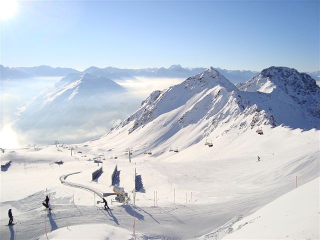
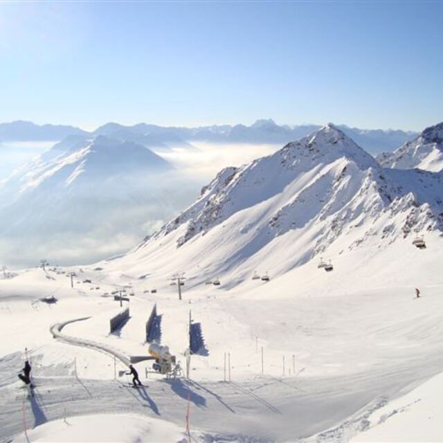
I initially planned to stay 6 days, but extend to twelve as it just would not stop snowing fresh powder. Arrived by car from Zurich, which was under 2hrs. However, the car was redundant upon arrival as it was more convenient to take the bus service in town (free pass given with accommodation), which runs frequently to the slopes and watering holes. I departed by train, which took around 2.5hrs with one change, so no big ordeal to use public transport for the entire trip. Spent most of my time on the slopes of Parsenn, which was the largest resort, and had lots of easy access and challenging off-piste. The après-ski only really springs to life at weekends when the German and Swiss hit town. However, the up-side is during the week you’ll have the slopes virtually to yourself with no dreaded lift queues. I’ve boarded in the US, Japan, Austria and France, and other places in Switzerland. Davos is up there with the best of them. I’d highly recommend Davos if you board or ski and the main purpose of you trip is to push yourself on the slopes (particularly if you want easy access to plenty of good off-piste), rather than the après-ski.
I initially planned to stay 6 days, but extend to twelve as it just would not stop snowing fresh powder. Arrived by car from Zurich, which was under 2hrs. However, the car was redundant upon arrival as it was more convenient to take the bus service in town (free pass given with accommodation), which runs frequently to the slopes and watering holes. I departed by train, which took around 2.5hrs with one change, so no big ordeal to use public transport for the entire trip. Spent most of my time on the slopes of Parsenn, which was the largest resort, and had lots of easy access and challenging off-piste. The après-ski only really springs to life at weekends when the German and Swiss hit town. However, the up-side is during the week you’ll have the slopes virtually to yourself with no dreaded lift queues. I’ve boarded in the US, Japan, Austria and France, and other places in Switzerland. Davos is up there with the best of them. I’d highly recommend Davos if you board or ski and the main purpose of you trip is to push yourself on the slopes (particularly if you want easy access to plenty of good off-piste), rather than the après-ski.
Free Snow-Forecast.com weather widget for your website
Embed the Davos weather widget on your site for free. It provides a weekly snapshot of snow and rain conditions across all elevations. Follow the two quick steps to grab your custom code and paste it into your site. Choose between metric or imperial units. Click here to get the code.


 Nearest