

Global Weekly Snow Roundup #314
Weekly Global Snow News, updated 14 May 2026: Fresh snowfall in Argentina, Australia and Lesotho signals winter’s approach, while Japan maintains the world’s deepest snowpack.

Next 3 days weather summary:Mostly dry. Mild temperatures (max 6°C on Fri afternoon, min 5°C on Fri night). Wind will be generally light. | Days 4-6 weather summary:Mostly dry. Very mild (max 11°C on Thu morning, min 5°C on Mon afternoon). Wind will be generally light. | ||||||||||||||||
Fri 15 | Saturday 16 | Sunday 17 | Monday 18 | Tuesday 19 | Wednesday 20 | ||||||||||||
PM | night | AM | PM | night | AM | PM | night | AM | PM | night | AM | PM | night | AM | PM | night | |
clear | clear | clear | clear | clear | clear | clear | clear | clear | clear | clear | some clouds | some clouds | some clouds | clear | clear | clear | |
km/h | |||||||||||||||||
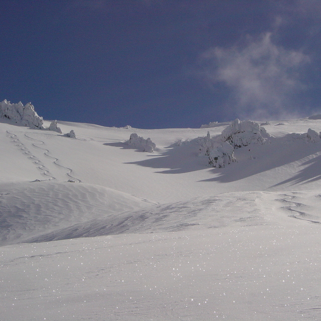
Snow map |  |  |  |  |  |  | |||||||||||
— | — | — | — | — | — | — | — | — | — | — | — | — | — | — | — | — | |
— | — | — | — | — | — | — | — | — | — | — | — | — | — | — | — | — | |
max °C | 6 | 5 | 5 | 5 | 6 | 6 | 5 | 6 | 6 | 5 | 6 | 6 | 5 | 7 | 8 | 8 | 10 |
min °C | 6 | 5 | 5 | 5 | 5 | 5 | 5 | 5 | 6 | 5 | 5 | 5 | 5 | 6 | 8 | 7 | 9 |
6 | 5 | 5 | 5 | 5 | 5 | 5 | 5 | 5 | 3 | 5 | 3 | 3 | 4 | 8 | 5 | 7 | |
31 | 34 | 27 | 40 | 19 | 17 | 39 | 32 | 20 | 39 | 21 | 11 | 26 | 9 | 8 | 17 | 7 | |
2800 | 2800 | 2750 | 2750 | 2750 | 2750 | 2650 | 2650 | 2650 | 2600 | 2700 | 2900 | 3100 | 3350 | 3400 | 3600 | 3850 | |
— | — | 7:39 | — | — | 7:39 | — | — | 7:41 | — | — | 7:41 | — | — | 7:43 | — | — | |
5:20 | — | — | 5:19 | — | — | 5:17 | — | — | 5:16 | — | — | 5:15 | — | — | 5:15 | — | |
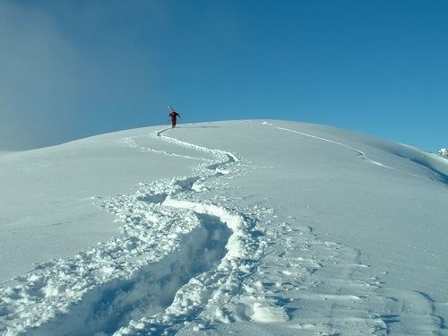
Latest snow reports near Craigieburn:
| Top snow depth: | — |
|---|---|
| Bottom snow depth: | — |
| Fresh snowfall depth: | — |
| Last snowfall: | 10 May 2026 |
| Snow Alerts | Create Alert |
0.5 | Bluebird Powder days Fresh snow, mostly sunny, light wind. |
|---|---|
0.4 | Powder days Fresh snow, limited sun, any wind. |
0.2 | Bluebird days Average snow, mostly sunny, light wind. |
The above table gives the weather forecast for Craigieburn at the specific elevation of 1672 m. Our sophisticated weather models allow us to provide snow forecasts for the top, middle and bottom ski stations of Craigieburn. To access the weather forecasts for the other elevations, use the tab navigation above the table. For a wider view of the weather, check out the Weather Map of New Zealand.
Click here to read further information on freezing levels and how we forecast our temperatures.
Overall 3.2 Based on 8 votes and 3 reviews
Hi Snow-Forecast team, you have a great site and we use it often. As some more information, Craigieburn and Broken River ski areas are next door neighbours!! It's an easy ski over to Broken River from Hamilton Col at Craigieburn (5/10 minutes, depending on conditions) and a 1/2-1hour walk (once again, depending on conditions) back along the ridge line from Broken River to Craigieburn. So in essence, Craigieburn and Broken River are the closest resorts to each other!! In fact on a topo map our main lifts are 2km apart!! Hope this is of some use.
Nick Jarman from New Zealand writes:
Hi Snow-Forecast team, you have a great site and we use it often.
As some more information, Craigieburn and Broken River ski areas are next door neighbours!! It's an easy ski over to Broken River from Hamilton Col at Craigieburn (5/10 minutes, depending on conditions) and a 1/2-1hour walk (once again, depending on conditions) back along the ridge line from Broken River to Craigieburn. So in essence, Craigieburn and Broken River are the closest resorts to each other!! In fact on a topo map our main lifts are 2km apart!!
Hope this is of some use.


 Nearest