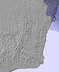
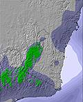
A light covering of new snow, mostly falling on Tue morning. Freeze-thaw conditions (max 1°C on Wed morning, min -2°C on Sun afternoon). Winds decreasing (near gales from the WNW on Mon afternoon, moderate winds from the WSW by Tue afternoon).
Days 4-6 weather summary:
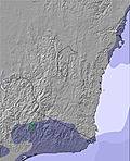
Mostly dry. Mild temperatures (max 6°C on Sat morning, min 2°C on Wed afternoon). Wind will be generally light.
The above table gives the weather forecast for Charlotte Pass at the specific elevation of 1954 m. Our sophisticated weather models allow us to provide snow forecasts for the top, middle and bottom ski stations of Charlotte Pass. To access the weather forecasts for the other elevations, use the tab navigation above the table. For a wider view of the weather, check out the Weather Map of Australia.
Click here to read further information on freezing levels and how we forecast our temperatures.
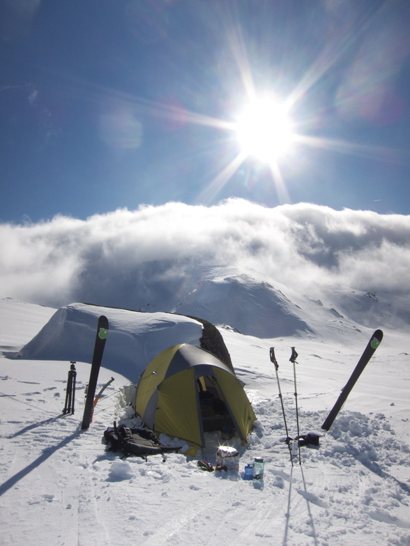
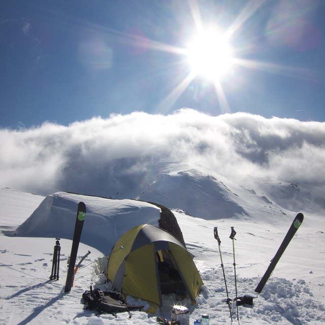
Well, I’ve been coming to Charlotte Pass since 2013 with my family (wife and 2 daughters). It’s a great place, people here are awesome, we stay in a chalet for 7 days each time.
Over the last few trips, the skiing is becoming worse and worse. Super expensive, they charge full rates for lift tickets and the facility is unable to function even at a basic level. Snow patrol / lift management is under supported. Lifts are from the 1960’s and constantly fail.
Not opening on time or remaining functioning with reliability. There’s only 4 lifts to maintain and upkeep. It is a pathetic failure of upper management to continue to ignore its ski guests.
I don’t write a review like this lightly. This is 5 years of hoping it will improve but no.. As a family we won’t be returning and strongly advise any potential visitor. If you want to ski then look for other options.
If you want a holiday in a beautiful family friendly location then Charlotte Pass is fantastic. But a warning if you want to ski, it’s become very disappointing.
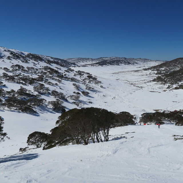
For this trip, there’s plenty of snow but lifts aren’t running (there’s 1 lift called a Poma that is running about 150m with a deep lift line, and I can walk to the top of it faster than you can get the lift there?) I’m 3 days in and haven’t caught a lift yet..
I think the owner of the Charlotte Pass resort lease is squeezing chalet (owners? ed) so they leave and they just buy them up 'til he owns them all, then the lift situation will likely improve.
I’m just gutted.
Well, I’ve been coming to Charlotte Pass since 2013 with my family (wife and 2 daughters). It’s a great place, people here are awesome, we stay in a chalet for 7 days each time.
Over the last few trips, the skiing is becoming worse and worse. Super expensive, they charge full rates for lift tickets and the facility is unable to function even at a basic level. Snow patrol / lift management is under supported. Lifts are from the 1960’s and constantly fail.
Not opening on time or remaining functioning with reliability. There’s only 4 lifts to maintain and upkeep. It is a pathetic failure of upper management to continue to ignore its ski guests.
I don’t write a review like this lightly. This is 5 years of hoping it will improve but no.. As a family we won’t be returning and strongly advise any potential visitor. If you want to ski then look for other options.
If you want a holiday in a beautiful family friendly location then Charlotte Pass is fantastic. But a warning if you want to ski, it’s become very disappointing.
For this trip, there’s plenty of snow but lifts aren’t running (there’s 1 lift called a Poma that is running about 150m with a deep lift line, and I can walk to the top of it faster than you can get the lift there?) I’m 3 days in and haven’t caught a lift yet..
I think the owner of the Charlotte Pass resort lease is squeezing chalet (owners? ed) so they leave and they just buy them up 'til he owns them all, then the lift situation will likely improve.
I’m just gutted.
Free Snow-Forecast.com weather widget for your website
Embed the Charlotte Pass weather widget on your site for free. It provides a weekly snapshot of snow and rain conditions across all elevations. Follow the two quick steps to grab your custom code and paste it into your site. Choose between metric or imperial units. Click here to get the code.


 Nearest