

Global Weekly Snow Roundup #314
Weekly Global Snow News, updated 14 May 2026: Fresh snowfall in Argentina, Australia and Lesotho signals winter’s approach, while Japan maintains the world’s deepest snowpack.

Next 4 days weather summary:Mostly dry. Freeze-thaw conditions (max 11°C on Mon afternoon, min -2°C on Fri night). Wind will be generally light. | Days 5-7 weather summary:Mostly dry. Freeze-thaw conditions (max 9°C on Mon night, min 0°C on Thu morning). Wind will be generally light. | |||||||||||||||
Saturday 16 | Sunday 17 | Monday 18 | Tuesday 19 | Wednesday 20 | ||||||||||||
night | AM | PM | night | AM | PM | night | AM | PM | night | AM | PM | night | AM | PM | night | |
some clouds | clear | clear | clear | clear | clear | clear | clear | clear | clear | clear | clear | clear | clear | clear | clear | |
km/h | ||||||||||||||||
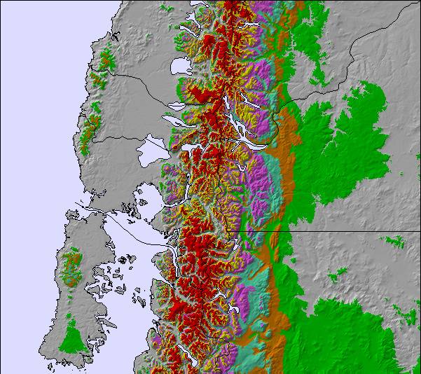
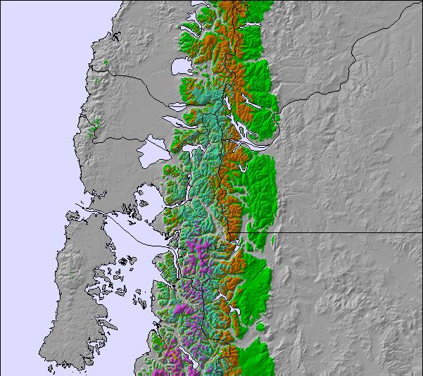
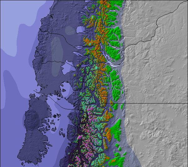
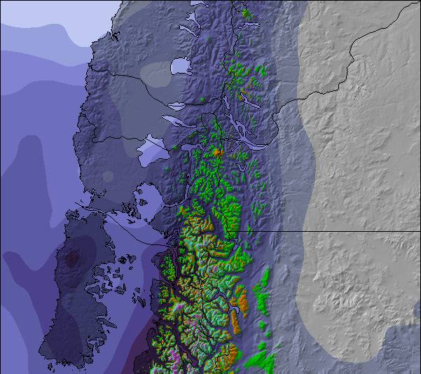
Snow map | 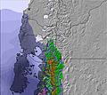 | 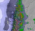 | 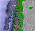 | 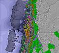 | 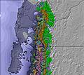 | 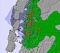 | ||||||||||
— | — | — | — | — | — | — | — | — | — | — | — | — | — | — | — | |
— | — | — | — | — | — | — | — | — | — | — | — | — | — | — | — | |
max °C | -1 | 2 | 4 | 5 | 6 | 8 | 6 | 8 | 11 | 9 | 5 | 5 | 3 | 2 | 4 | 2 |
min °C | -2 | 0 | 3 | 3 | 5 | 7 | 6 | 6 | 10 | 6 | 4 | 4 | 2 | 1 | 2 | 1 |
-6 | 0 | 1 | 1 | 3 | 6 | 4 | 6 | 10 | 4 | 1 | 1 | -2 | -3 | -2 | -3 | |
83 | 61 | 35 | 22 | 21 | 24 | 25 | 25 | 25 | 36 | 34 | 47 | 68 | 71 | 60 | 47 | |
1300 | 1550 | 2450 | 2750 | 3150 | 3250 | 3500 | 3600 | 3700 | 3400 | 3300 | 3350 | 3350 | 3350 | 3650 | 3750 | |
— | 8:44 | — | — | 8:45 | — | — | 8:45 | — | — | 8:47 | — | — | 8:48 | — | — | |
— | — | 6:37 | — | — | 6:37 | — | — | 6:36 | — | — | 6:35 | — | — | 6:34 | — | |
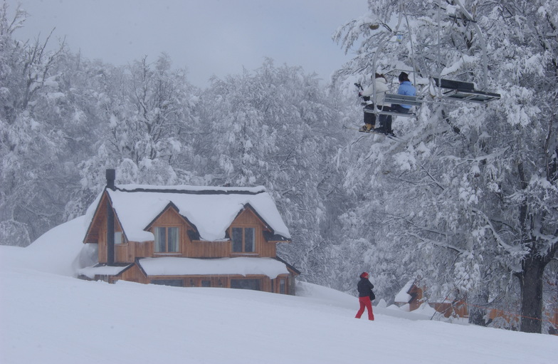
Latest snow reports near Chapelco:
| Top snow depth: | 0 cm |
|---|---|
| Bottom snow depth: | 0 cm |
| Fresh snowfall depth: | — |
| Last snowfall: | 8 May 2026 |
| Snow Alerts | Create Alert |
0.2 | Bluebird Powder days Fresh snow, mostly sunny, light wind. |
|---|---|
0.2 | Powder days Fresh snow, limited sun, any wind. |
0.2 | Bluebird days Average snow, mostly sunny, light wind. |
The above table gives the weather forecast for Chapelco at the specific elevation of 1616 m. Our sophisticated weather models allow us to provide snow forecasts for the top, middle and bottom ski stations of Chapelco. To access the weather forecasts for the other elevations, use the tab navigation above the table. For a wider view of the weather, check out the Weather Map of Argentina.
Click here to read further information on freezing levels and how we forecast our temperatures.
Overall 3.9 Based on 77 votes and 77 reviews
No es para temporada alta. Dada la cantidad limitada de medios de elevación, y la no inversión en abrir mas zonas esquiables en la zona intermedia principalmente, hay que esperar mas 30 minutos en interminables filas que además te terminan pisoteando las tablas, sin ningún tipo de respeto. No es para temporada baja o media. Aun habiendo buena cantidad de nieve, como va menos gente, no abren muchos medios de elevación, y se termina sucediendo lo mismo de las esperas para subir.
Daniel from Argentina writes:
No es para temporada alta.
Dada la cantidad limitada de medios de elevación, y la no inversión en abrir mas zonas esquiables en la zona intermedia principalmente, hay que esperar mas 30 minutos en interminables filas que además te terminan pisoteando las tablas, sin ningún tipo de respeto.
No es para temporada baja o media. Aun habiendo buena cantidad de nieve, como va menos gente, no abren muchos medios de elevación, y se termina sucediendo lo mismo de las esperas para subir.

 Nearest