

Global Weekly Snow Roundup #314
Weekly Global Snow News, updated 14 May 2026: Fresh snowfall in Argentina, Australia and Lesotho signals winter’s approach, while Japan maintains the world’s deepest snowpack.

Next 3 days weather summary:A dusting of snow turning to light rain (total 3.0mm) on Mon afternoon. Freeze-thaw conditions (max 3°C on Mon night, min -1°C on Sat afternoon). Wind will be generally light. | Days 4-6 weather summary:Light rain (total 3.0mm), mostly falling on Tue afternoon. Very mild (max 12°C on Thu afternoon, min 4°C on Tue afternoon). Wind will be generally light. | ||||||||||||||||
Sat 16 | Sunday 17 | Monday 18 | Tuesday 19 | Wednesday 20 | Thursday 21 | ||||||||||||
PM | night | AM | PM | night | AM | PM | night | AM | PM | night | AM | PM | night | AM | PM | night | |
snow shwrs | some clouds | some clouds | light snow | light snow | cloudy | light snow | light rain | rain shwrs | light rain | rain shwrs | clear | some clouds | some clouds | some clouds | clear | clear | |
km/h | |||||||||||||||||
Snow map |  |  |  |  |  |  | |||||||||||
— | — | — | 1 | — | — | — | — | — | — | — | — | — | — | — | — | — | |
— | — | — | — | — | — | 1 | 1 | 1 | 2 | 1 | — | — | — | — | — | — | |
max °C | 0 | 0 | -1 | 0 | 0 | 1 | 2 | 3 | 3 | 5 | 5 | 7 | 9 | 9 | 11 | 12 | 12 |
min °C | -1 | -1 | -1 | 0 | -1 | 0 | 2 | 3 | 3 | 4 | 4 | 5 | 9 | 8 | 10 | 12 | 10 |
-6 | -3 | -4 | -2 | -5 | -4 | -1 | 0 | 0 | 4 | 2 | 4 | 9 | 8 | 10 | 12 | 10 | |
77 | 78 | 76 | 92 | 83 | 85 | 83 | 76 | 89 | 85 | 86 | 48 | 70 | 41 | 18 | 42 | 34 | |
2350 | 2250 | 2350 | 2450 | 2350 | 2500 | 2750 | 2850 | 2900 | 3150 | 3150 | 3500 | 3750 | 4000 | 4150 | 4150 | 4100 | |
— | — | 6:35 | — | — | 6:35 | — | — | 6:33 | — | — | 6:33 | — | — | 6:31 | — | — | |
— | 9:16 | — | — | 9:17 | — | — | 9:19 | — | — | 9:20 | — | — | 9:21 | — | — | 9:22 | |
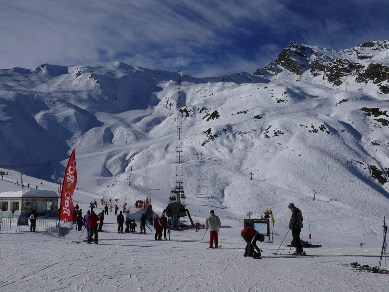
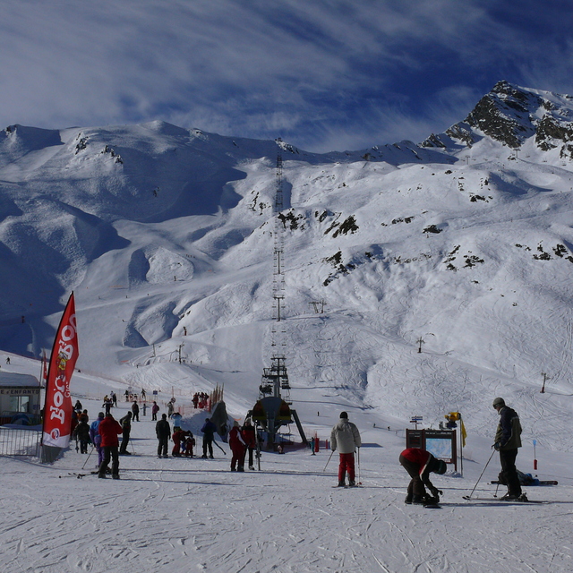
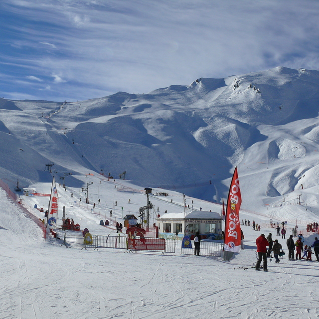
Latest snow reports near Cauterets:
| Top snow depth: | — |
|---|---|
| Bottom snow depth: | — |
| Fresh snowfall depth: | 20 cm |
| Last snowfall: | 15 May 2026 |
| Snow Alerts | Create Alert |
0.3 | Bluebird Powder days Fresh snow, mostly sunny, light wind. |
|---|---|
0.7 | Powder days Fresh snow, limited sun, any wind. |
0.0 | Bluebird days Average snow, mostly sunny, light wind. |
The above table gives the weather forecast for Cauterets at the specific elevation of 2415 m. Our sophisticated weather models allow us to provide snow forecasts for the top, middle and bottom ski stations of Cauterets. To access the weather forecasts for the other elevations, use the tab navigation above the table. For a wider view of the weather, check out the Weather Map of France.
Click here to read further information on freezing levels and how we forecast our temperatures.
Overall 3.9 Based on 30 votes and 9 reviews
I really like Cauterets. We've been on three separate occasions and skied two days of a week mixed with Luz-Ardiden, Bareges/La Mongie and Piau Engaly. What I particularly like about Cauterets (apart from the great snow) is that the bowl offers loads of in-bounds off-piste options without ever getting that far away from everyone. You can jump off the top ridge in many different places and choose lots of different routes down before joining marked runs. I think it's a great place to get into relatively safe off-piste skiing and learning how to set off into steeps.
Andy Eastham from United Kingdom writes:
I really like Cauterets. We've been on three separate occasions and skied two days of a week mixed with Luz-Ardiden, Bareges/La Mongie and Piau Engaly. What I particularly like about Cauterets (apart from the great snow) is that the bowl offers loads of in-bounds off-piste options without ever getting that far away from everyone. You can jump off the top ridge in many different places and choose lots of different routes down before joining marked runs. I think it's a great place to get into relatively safe off-piste skiing and learning how to set off into steeps.


 Nearest