
Ski Lessons by SkiBro
BOOK NOW
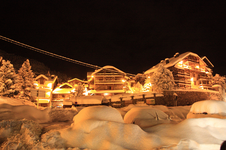
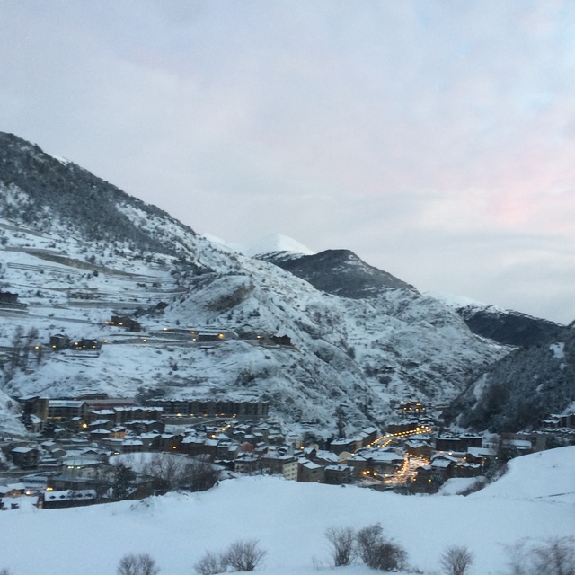
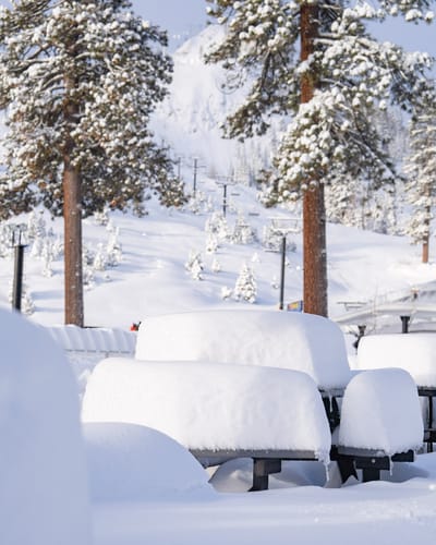
Ski lessons in Grandvalira-Canillo
Book now

Grandvalira-Canillo Weather (Next 3 days): The snow forecast for Grandvalira-Canillo is: Mild with light rain (total 6.0mm) on Mon afternoon Becoming colder with a light covering of snow, mostly falling on Tue night. Freeze-thaw conditions (max 8°C on Thu morning, min -1°C on Mon night). Wind will be generally light.
Grandvalira-Canillo Weather (Days 4-6): Light rain (total 5.0mm), mostly falling on Sat afternoon. Very mild (max 13°C on Fri afternoon, min 7°C on Thu night). Wind will be generally light.
| Resort | Snow Depth | Temp. (°C) | Wind (km/h) | Weather | ||
|---|---|---|---|---|---|---|
| Top Lift: | 0.0 m | 1 | ||||
| Middle Lift: | 4 | |||||
| Bottom Lift: | 0.0 m | 8 |
Latest snow reports near Grandvalira-Canillo:

Mon 6 | Tuesday 7 | Wednesday 8 | Thursday 9 | Friday 10 | Saturday 11 | Sunday 12 | ||||||||||||||
PM | night | AM | PM | night | AM | PM | night | AM | PM | night | AM | PM | night | AM | PM | night | AM | PM | night | |
rain shwrs | snow shwrs | clear | light snow | snow shwrs | clear | rain shwrs | rain shwrs | clear | clear | clear | clear | some clouds | some clouds | some clouds | risk thun- der | rain shwrs | risk thun- der | rain shwrs | rain shwrs | |
km/h | ||||||||||||||||||||
Snow map |  |  |  | 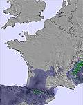 | 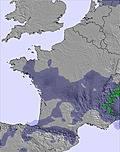 | 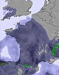 |  | |||||||||||||
— | 1.0 | — | 2.0 | 4 | — | — | — | — | — | — | — | — | — | — | — | — | — | — | — | |
3 | — | — | 1.0 | — | — | 1.0 | 1.0 | — | — | — | — | — | — | — | 2.0 | 2.0 | 1.0 | 4 | 3 | |
max°C | 4 | 2 | 1 | 3 | 0 | 3 | 5 | 5 | 8 | 11 | 9 | 10 | 13 | 11 | 11 | 12 | 10 | 9 | 10 | 9 |
min°C | 3 | -1 | -1 | 2 | 0 | 1 | 4 | 3 | 5 | 10 | 7 | 8 | 12 | 9 | 9 | 12 | 8 | 8 | 10 | 6 |
1 | -4 | -5 | -2 | -6 | -4 | 0 | 0 | 3 | 10 | 7 | 8 | 12 | 9 | 9 | 11 | 6 | 6 | 8 | 2 | |
92 | 93 | 71 | 89 | 86 | 71 | 71 | 61 | 30 | 43 | 55 | 34 | 60 | 76 | 67 | 63 | 74 | 72 | 71 | 88 | |
2600 | 2050 | 2300 | 2400 | 2200 | 2700 | 2800 | 3250 | 3400 | 3600 | 3700 | 3750 | 3750 | 3750 | 3600 | 3600 | 3550 | 3400 | 3350 | 3300 | |
— | — | 6:39 | — | — | 6:39 | — | — | 6:37 | — | — | 6:35 | — | — | 6:35 | — | — | 6:33 | — | — | |
— | 8:59 | — | — | 9:00 | — | — | 9:00 | — | — | 9:01 | — | — | 9:02 | — | — | 9:05 | — | — | 9:06 | |
Mild with light rain (total 6.0mm) on Mon afternoon Becoming colder with a light covering of snow, mostly falling on Tue night. Freeze-thaw conditions (max 8°C on Thu morning, min -1°C on Mon night). Wind will be generally light.
Light rain (total 5.0mm), mostly falling on Sat afternoon. Very mild (max 13°C on Fri afternoon, min 7°C on Thu night). Wind will be generally light.
Latest snow reports near Grandvalira-Canillo:
| Top snow depth: | 0 cm |
|---|---|
| Bottom snow depth: | 0 cm |
| Fresh snowfall depth: | — |
| Last snowfall: | 2 May 2024 |
| Snow Alerts | Create Alert |
0.4 | Bluebird Powder days Fresh snow, mostly sunny, light wind. |
|---|---|
0.4 | Powder days Fresh snow, limited sun, any wind. |
0.1 | Bluebird days Average snow, mostly sunny, light wind. |
The above table gives the weather forecast for Grandvalira-Canillo at the specific elevation of 2160 m. Our sophisticated weather models allow us to provide snow forecasts for the top, middle and bottom ski stations of Grandvalira-Canillo. To access the weather forecasts for the other elevations, use the tab navigation above the table. For a wider view of the weather, check out the Weather Map of Andorra.
Click here to read further information on freezing levels and how we forecast our temperatures.
Overall 3.9 Based on 3 votes and 1 review
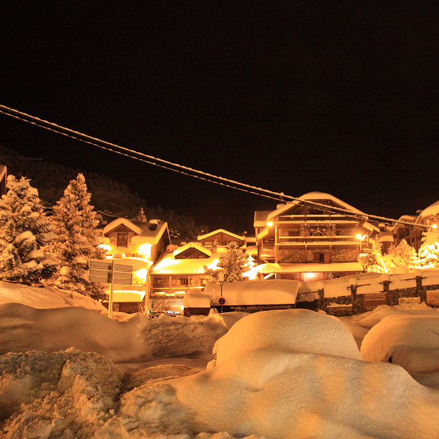
We stayed in a wooden shed at La Camping Pla in Canillo (Grandvalira-Canillo) over New Year 2008/09 and had a fantastic time. The shed had two double bedrooms and a small bunk bed room, lounge/kitchen area and an adequate bathroom. We left the heating on all day so when we arrived back from skiing the shed was super warm. The campsite is a 5min walk to the Canillo gondola which serves the Grandvalira ski region and links up to El Tartar, Soldeu and Pas De La Casa. The lift system is superb with hardly any drag lifts and super quick 6/8 man chairlifts, even the short lift links are connected with handy rope pulls. Although the piste map is slightly confusing all the resorts are linked together with blues and reds. For the advanced skier there is not many challenging runs and many of the blacks are no more than reds. I would recommend Grandvalira to any beginner or intermediate skier. The only drawback was the horrendous price of the ski pass: £220 per week for half the amount of lifts that some French resorts offer and the high cost of food in the mountain restaurants, which seems to be the norm for us British skiers although it is still outright piracy.
graham boulton from Andorra writes:
We stayed in a wooden shed at La Camping Pla in Canillo (Grandvalira-Canillo) over New Year 2008/09 and had a fantastic time. The shed had two double bedrooms and a small bunk bed room, lounge/kitchen area and an adequate bathroom. We left the heating on all day so when we arrived back from skiing the shed was super warm. The campsite is a 5min walk to the Canillo gondola which serves the Grandvalira ski region and links up to El Tartar, Soldeu and Pas De La Casa. The lift system is superb with hardly any drag lifts and super quick 6/8 man chairlifts, even the short lift links are connected with handy rope pulls. Although the piste map is slightly confusing all the resorts are linked together with blues and reds. For the advanced skier there is not many challenging runs and many of the blacks are no more than reds.
I would recommend Grandvalira to any beginner or intermediate skier. The only drawback was the horrendous price of the ski pass: £220 per week for half the amount of lifts that some French resorts offer and the high cost of food in the mountain restaurants, which seems to be the norm for us British skiers although it is still outright piracy.
The Grandvalira-Canillo skiing weather widget is available to embed on external websites free of charge. It provides a daily summary of our Grandvalira-Canillo snow forecast and current weather conditions. Simply go to the feed configuration page and follow the 3 simple steps to grab the custom html code snippet and paste it into your own site. You can choose the snow forecast elevation (summit, mid-mountain or bottom lift) and metric/imperial units for the snow forecast feed to suit your own website…. Click here to get the code.
View detailed snow forecast for Grandvalira-Canillo at:
snow-forecast.com


 Nearest