

Global Weekly Snow Roundup #314
Weekly Global Snow News, updated 14 May 2026: Fresh snowfall in Argentina, Australia and Lesotho signals winter’s approach, while Japan maintains the world’s deepest snowpack.

Next 3 days weather summary:Light rain (total 7.0mm), mostly falling on Sat night. Very mild (max 17°C on Mon night, min 8°C on Sun night). Winds decreasing (strong winds from the WNW on Sun morning, light winds from the W by Mon morning). | Days 4-6 weather summary:Moderate rain (total 15.0mm), heaviest on Wed afternoon. Warm (max 20°C on Tue afternoon, min 2°C on Thu morning). Winds decreasing (near gales from the W on Tue night, light winds from the NNW by Thu night). | |||||||||||||||||
Saturday 16 | Sunday 17 | Monday 18 | Tuesday 19 | Wednesday 20 | Thursday 21 | |||||||||||||
AM | PM | night | AM | PM | night | AM | PM | night | AM | PM | night | AM | PM | night | AM | PM | night | |
clear | some clouds | rain shwrs | some clouds | clear | some clouds | cloudy | some clouds | rain shwrs | some clouds | risk thun- der | rain shwrs | risk thun- der | risk thun- der | light rain | some clouds | cloudy | cloudy | |
km/h | ||||||||||||||||||
Snow map |  |  |  |  |  |  | ||||||||||||
— | — | — | — | — | — | — | — | — | — | — | — | — | — | — | — | — | — | |
— | — | 6 | — | — | — | — | — | 1 | — | 1 | 3 | 1 | 6 | 4 | — | — | — | |
max °C | 11 | 14 | 13 | 10 | 11 | 9 | 12 | 16 | 17 | 19 | 20 | 19 | 18 | 18 | 14 | 2 | 6 | 4 |
min °C | 9 | 14 | 10 | 10 | 10 | 8 | 11 | 13 | 16 | 17 | 20 | 16 | 17 | 17 | 3 | 2 | 6 | 2 |
6 | 12 | 6 | 6 | 6 | 4 | 9 | 11 | 14 | 16 | 20 | 14 | 16 | 15 | -2 | -4 | 3 | -2 | |
72 | 61 | 96 | 77 | 75 | 65 | 69 | 82 | 82 | 82 | 79 | 83 | 88 | 94 | 95 | 78 | 58 | 72 | |
3100 | 3550 | 3100 | 2850 | 3200 | 3700 | 3600 | 4150 | 4000 | 4250 | 4200 | 4050 | 3950 | 3900 | 3750 | 1250 | 2200 | 1400 | |
5:18 | — | — | 5:18 | — | — | 5:16 | — | — | 5:16 | — | — | 5:15 | — | — | 5:13 | — | — | |
— | — | 8:08 | — | — | 8:09 | — | — | 8:10 | — | — | 8:12 | — | — | 8:13 | — | — | 8:14 | |
Latest snow reports near Burke Mountain:
| Top snow depth: | — |
|---|---|
| Bottom snow depth: | — |
| Fresh snowfall depth: | — |
| Last snowfall: | 2 May 2026 |
| Snow Alerts | Create Alert |
0.0 | Bluebird Powder days Fresh snow, mostly sunny, light wind. |
|---|---|
0.3 | Powder days Fresh snow, limited sun, any wind. |
0.0 | Bluebird days Average snow, mostly sunny, light wind. |
The above table gives the weather forecast for Burke Mountain at the specific elevation of 996 m. Our sophisticated weather models allow us to provide snow forecasts for the top, middle and bottom ski stations of Burke Mountain. To access the weather forecasts for the other elevations, use the tab navigation above the table. For a wider view of the weather, check out the Weather Map of United States.
Click here to read further information on freezing levels and how we forecast our temperatures.
Overall 5.0 Based on 1 vote and 3 reviews
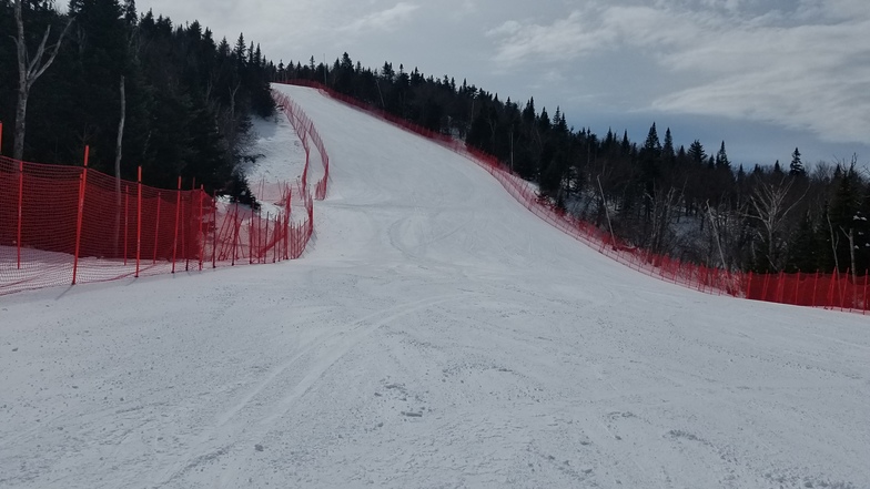
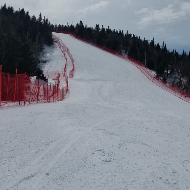
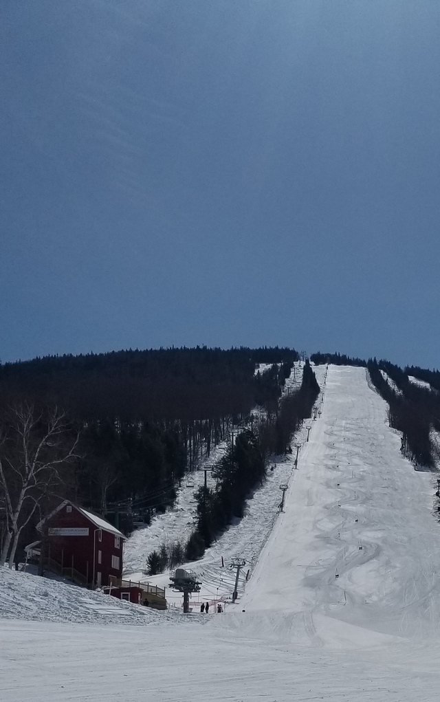
Burke Mountain is home to Burke Mountain Academy. BMA was the first full-time integrated athletic and academic boarding school in the United States and remains the pre-eminent ski racing academy in the country. Students train nearly year round at Burke Mountain and other resorts around the world. More than 45 Olympians and over 100 US Ski Team members have come from BMA. The success of the Burke Mountain Academy students-athletes is a testament to the great skiing at Burke Mountain. Burke is a bit off the beaten path but the crowds are small (or non-existent) and the skiing is excellent. The glades are some of the finest in the East. To learn more about BMA check out: burkemtnacademy.org
Manfred Pranger from United States writes:
Burke Mountain is home to Burke Mountain Academy. BMA was the first full-time integrated athletic and academic boarding school in the United States and remains the pre-eminent ski racing academy in the country. Students train nearly year round at Burke Mountain and other resorts around the world. More than 45 Olympians and over 100 US Ski Team members have come from BMA. The success of the Burke Mountain Academy students-athletes is a testament to the great skiing at Burke Mountain. Burke is a bit off the beaten path but the crowds are small (or non-existent) and the skiing is excellent. The glades are some of the finest in the East. To learn more about BMA check out: burkemtnacademy.org


 Nearest