

Portillo Re-Opens To Guests Arriving By Helicopter
Chile’s famous Portillo ski resort is reported to have re-opened to guests arriving by helicopter after being cut off by road for more than two weeks by over 6m/20 feet of snowfall.

Next 3 days weather summary:Moderate rain (total 16.0mm), heaviest on Mon night. Warm (max 25°C on Mon afternoon, min 14°C on Wed night). Wind will be generally light. | Days 4-6 weather summary:Heavy rain (total 24.0mm), heaviest during Thu morning. Warm (max 25°C on Sat afternoon, min 13°C on Thu night). Wind will be generally light. | |||||||||||||||||
Monday 3 | Tuesday 4 | Wednesday 5 | Thursday 6 | Friday 7 | Saturday 8 | |||||||||||||
AM | PM | night | AM | PM | night | AM | PM | night | AM | PM | night | AM | PM | night | AM | PM | night | |
t-storm risk | t-storm risk | rain shwrs | cloudy | light rain | rain shwrs | clear | t-storm risk | rain shwrs | mod. rain | t-storm risk | rain shwrs | rain shwrs | rain shwrs | rain shwrs | clear | t-storm risk | rain shwrs | |
km/h | ||||||||||||||||||
Snow map |  |  |  |  |  |  | ||||||||||||
— | — | — | — | — | — | — | — | — | — | — | — | — | — | — | — | — | — | |
mm | 1 | 2 | 3 | — | 1 | 1 | — | 2 | 6 | 6 | 4 | 2 | 1 | 2 | 1 | — | 2 | 6 |
max °C | 24 | 25 | 19 | 20 | 24 | 20 | 21 | 22 | 19 | 16 | 17 | 15 | 20 | 23 | 20 | 23 | 25 | 22 |
min °C | 19 | 22 | 16 | 17 | 22 | 15 | 16 | 22 | 14 | 15 | 17 | 13 | 15 | 22 | 16 | 17 | 24 | 17 |
chill °C | 19 | 22 | 16 | 17 | 22 | 15 | 16 | 22 | 14 | 15 | 17 | 13 | 15 | 22 | 16 | 17 | 24 | 17 |
Humid % | 47 | 57 | 54 | 50 | 60 | 81 | 60 | 69 | 93 | 88 | 87 | 89 | 66 | 52 | 61 | 47 | 51 | 62 |
Freeze m | 4450 | 4500 | 4200 | 4350 | 4450 | 4550 | 4500 | 4500 | 4550 | 4400 | 4500 | 4500 | 4400 | 4500 | 4500 | 4500 | 4650 | 4500 |
6:52 | — | — | 6:52 | — | — | 6:54 | — | — | 6:54 | — | — | 6:56 | — | — | 6:56 | — | — | |
— | — | 9:19 | — | — | 9:16 | — | — | 9:15 | — | — | 9:15 | — | — | 9:13 | — | — | 9:12 | |
Go pro and carve into:
Avalanche information: European Avalanche Warning Services (EAWS)
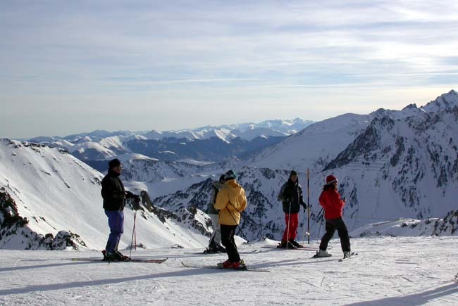
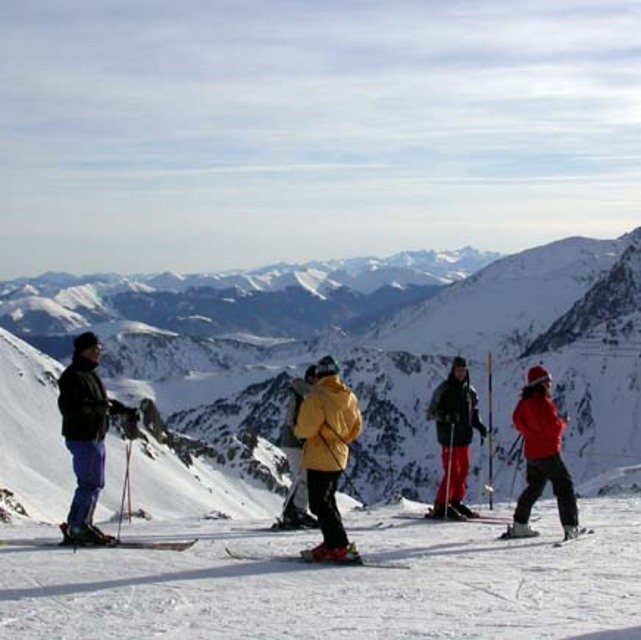
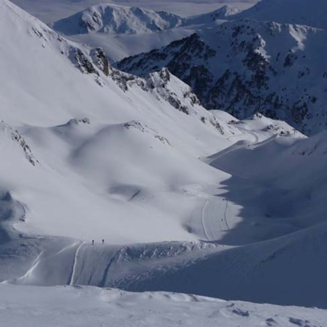
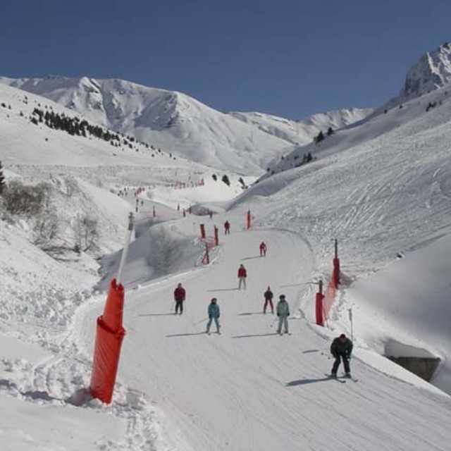
Latest snow reports near Grand Tourmalet-Bareges/La Mongie:
| Top snow depth: | 0 cm |
|---|---|
| Bottom snow depth: | 0 cm |
| Fresh snowfall depth: | — |
| Last snowfall: | 15 May 2026 |
| Snow Alerts | Create Alert |
0.0 | Bluebird Powder days Fresh snow, mostly sunny, light wind. |
|---|---|
0.0 | Powder days Fresh snow, limited sun, any wind. |
0.0 | Bluebird days Average snow, mostly sunny, light wind. |
The above table gives the weather forecast for Grand Tourmalet-Bareges/La Mongie at the specific elevation of 1250 m. Our sophisticated weather models allow us to provide snow forecasts for the top, middle and bottom ski stations of Grand Tourmalet-Bareges/La Mongie. To access the weather forecasts for the other elevations, use the tab navigation above the table. For a wider view of the weather, check out the Weather Map of France.
Click here to read further information on freezing levels and how we forecast our temperatures.
Resort name is also written as Bareges & La Mongie.
Overall 3.5 Based on 39 votes and 40 reviews
Bonjour. Je suis espagnol (basque)et comme beaucoup d´entre nous allons skier a La Mongie car ses pistes sont magnifiques. Malheuresement je ne peux pas dire la meme chose de pisteurs. Ils ne savent pas un mot d´Espagnol ni D´Anglais!!! Cela fait deja 7 ans que j´achete le forfait saison et personne ne parle une langue terangere et en plus on me dit "didonc vous parlez bien le français" (la honte). En 7 ans je n´ai jamais vu un panneau d´information en Espagnol.
Juan from Spain writes:
Bonjour.
Je suis espagnol (basque)et comme beaucoup d´entre nous allons skier a La Mongie car ses pistes sont magnifiques. Malheuresement je ne peux pas dire la meme chose de pisteurs. Ils ne savent pas un mot d´Espagnol ni D´Anglais!!! Cela fait deja 7 ans que j´achete le forfait saison et personne ne parle une langue terangere et en plus on me dit "didonc vous parlez bien le français" (la honte). En 7 ans je n´ai jamais vu un panneau d´information en Espagnol.
Read 39 more reviews of Grand Tourmalet-Bareges/La Mongie or submit your own


 Nearest