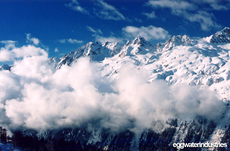


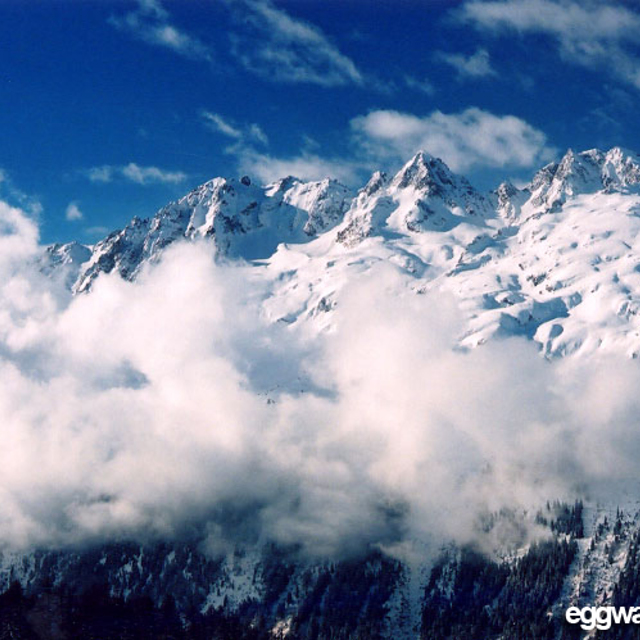
Portillo Re-Opens To Guests Arriving By Helicopter
Chile’s famous Portillo ski resort is reported to have re-opened to guests arriving by helicopter after being cut off by road for more than two weeks by over 6m/20 feet of snowfall.

Next 3 days weather summary:Heavy rain (total 24.0mm), heaviest during Tue afternoon. Very mild (max 10°C on Mon afternoon, min 6°C on Wed morning). Wind will be generally light. | Days 4-6 weather summary:Moderate rain (total 10.0mm), heaviest on Thu afternoon. Mild temperatures (max 8°C on Sat night, min 5°C on Thu night). Wind will be generally light. | ||||||||||||||||
Mon 3 | Tuesday 4 | Wednesday 5 | Thursday 6 | Friday 7 | Saturday 8 | ||||||||||||
PM | night | AM | PM | night | AM | PM | night | AM | PM | night | AM | PM | night | AM | PM | night | |
t-storm risk | rain shwrs | t-storm risk | t-storm risk | rain shwrs | clear | t-storm risk | rain shwrs | clear | mod. rain | rain shwrs | clear | some clouds | clear | clear | clear | clear | |
km/h | |||||||||||||||||
Snow map |  |  |  |  |  |  | |||||||||||
— | — | — | — | — | — | — | — | — | — | — | — | — | — | — | — | — | |
mm | 3 | 4 | 1 | 6 | 4 | — | 5 | 1 | — | 6 | 4 | — | — | — | — | — | — |
max °C | 10 | 8 | 8 | 8 | 7 | 6 | 7 | 8 | 7 | 6 | 6 | 6 | 6 | 7 | 6 | 7 | 8 |
min °C | 8 | 8 | 8 | 7 | 7 | 6 | 7 | 7 | 7 | 6 | 5 | 5 | 5 | 6 | 6 | 7 | 7 |
chill °C | 8 | 6 | 7 | 5 | 6 | 6 | 7 | 6 | 6 | 5 | 3 | 5 | 5 | 5 | 5 | 6 | 6 |
Humid % | 72 | 66 | 64 | 78 | 72 | 86 | 89 | 43 | 66 | 91 | 62 | 53 | 90 | 51 | 41 | 69 | 33 |
Freeze m | 4500 | 4500 | 4450 | 4450 | 4400 | 4300 | 4400 | 4450 | 4300 | 4200 | 4200 | 4100 | 4200 | 4300 | 4300 | 4350 | 4500 |
— | — | 6:16 | — | — | 6:18 | — | — | 6:18 | — | — | 6:20 | — | — | 6:22 | — | — | |
— | 8:59 | — | — | 8:58 | — | — | 8:57 | — | — | 8:54 | — | — | 8:53 | — | — | 8:52 | |
Go pro and carve into:
Avalanche information: European Avalanche Warning Services (EAWS)
Latest snow reports near Argentiere:
| Top snow depth: | 0 cm |
|---|---|
| Bottom snow depth: | 0 cm |
| Fresh snowfall depth: | — |
| Last snowfall: | 10 Jun 2026 |
| Snow Alerts | Create Alert |
0.0 | Bluebird Powder days Fresh snow, mostly sunny, light wind. |
|---|---|
0.3 | Powder days Fresh snow, limited sun, any wind. |
0.4 | Bluebird days Average snow, mostly sunny, light wind. |
The above table gives the weather forecast for Argentiere at the specific elevation of 3275 m. Our sophisticated weather models allow us to provide snow forecasts for the top, middle and bottom ski stations of Argentiere. To access the weather forecasts for the other elevations, use the tab navigation above the table. For a wider view of the weather, check out the Weather Map of France.
Click here to read further information on freezing levels and how we forecast our temperatures.
Overall 3.9 Based on 23 votes and 16 reviews
Very sad to say one of my favorite places to ski has become a bit of a joke. At the moment the lift to the top of Grand Montets is shut for at least 2 years but probably 3, Bochard lift is shut now for the second week running and the information flow to skiers is awful. A great shame that a wonderful area is being ruined by real mismanagement.
Rob from United Kingdom writes:
Very sad to say one of my favorite places to ski has become a bit of a joke. At the moment the lift to the top of Grand Montets is shut for at least 2 years but probably 3, Bochard lift is shut now for the second week running and the information flow to skiers is awful.
A great shame that a wonderful area is being ruined by real mismanagement.


 Nearest