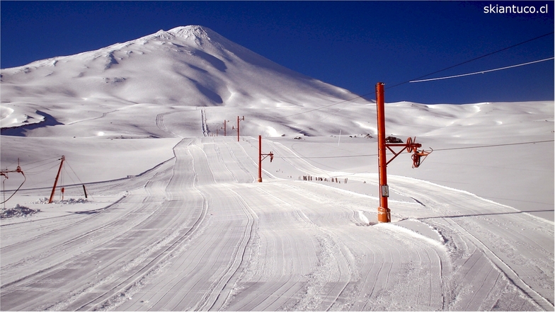
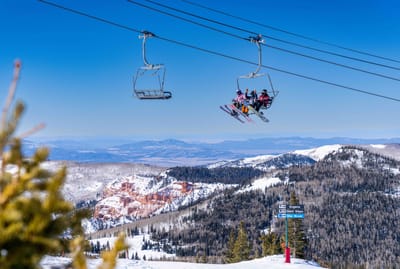
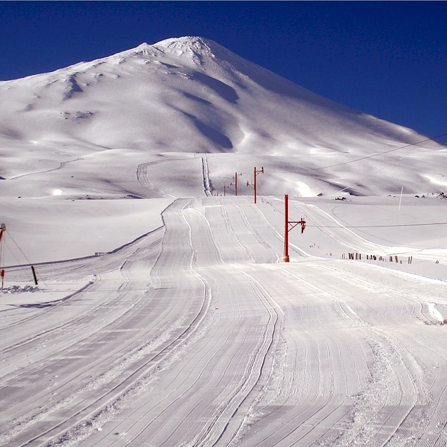
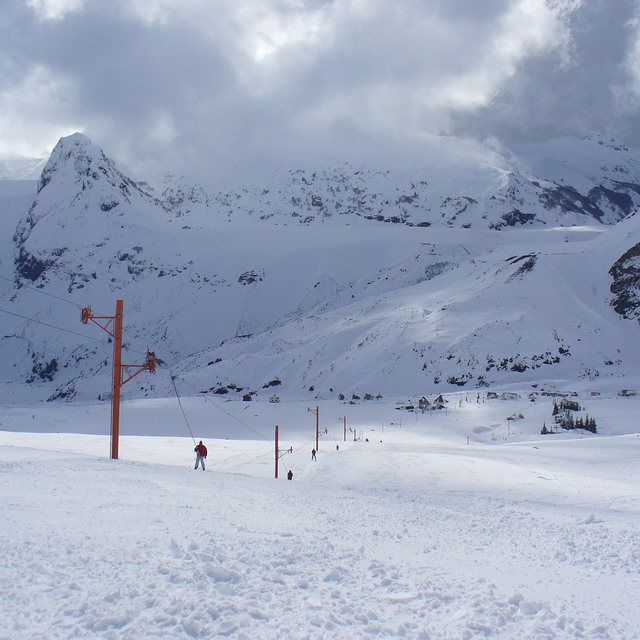
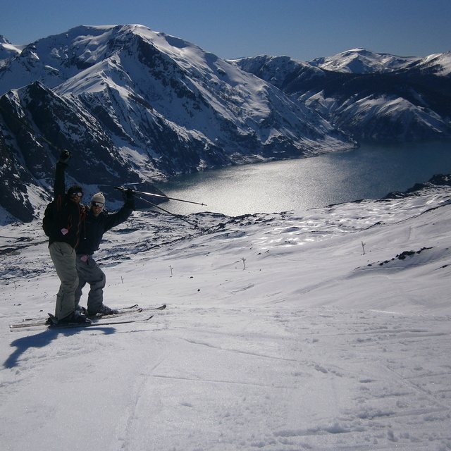
Antuco snow
Ski Chile

Antuco Snow Forecast

Weather Forecast for Antuco at 1674 m
Issued: 8 pm  26 Apr 2024 (local time)

New snow in Antuco

28.0cm11in
Mon 29th (PM)
The snow forecast for Antuco is: Drizzle on Mon morning followed by colder weather and a moderate fall of snow, heaviest on Mon afternoon. Freeze-thaw conditions (max 4°C on Sun afternoon, min -4°C on Sat morning). Winds increasing (calm on Sat morning, strong winds from the NW by Mon afternoon).

Antuco Weather (Next 3 days): The snow forecast for Antuco is: Drizzle on Mon morning followed by colder weather and a moderate fall of snow, heaviest on Mon afternoon. Freeze-thaw conditions (max 4°C on Sun afternoon, min -4°C on Sat morning). Winds increasing (calm on Sat morning, strong winds from the NW by Mon afternoon).

Antuco Weather (Days 4-6): A heavy fall of snow, heaviest during Mon night. Freeze-thaw conditions (max 1°C on Thu morning, min -6°C on Wed morning). Winds decreasing (fresh winds from the WNW on Mon night, calm by Wed night).


Antuco Live Weather

ResortSnow DepthTemp. (°C)Wind (km/h)Weather
Top Lift: 
-2
20
snow showers
Middle Lift: 
-1
10
snow showers
Bottom Lift: 
0
5
snow showers
Powered by Snow-Forecast.comSnow-Forecast.com
6 Day Forecast
Issued: 8 pm 26 Apr 2024 / Updates in ::
Change Forecast Height
Choose Forecast
Last 6 daysScroll left for last 6 daysNow
Saturday
27
Sunday
28
Monday
29
Tuesday
30
Wednesday
1
Thursday
2
night
AM
PM
night
AM
PM
night
AM
PM
night
AM
PM
night
AM
PM
night
AM
PM
night
snow showers
part cloud
part cloud
clear
clear
clear
clear
rain showers
heavy snow
heavy snow
heavy snow
heavy snow
heavy snow
snow showers
light snow
clear
clear
clear
cloud
snow shwrs
some clouds
some clouds
clear
clear
clear
clear
rain shwrs
heavy snow
heavy snow
heavy snow
heavy snow
heavy snow
snow shwrs
light snow
clear
clear
clear
cloudy
 km/h
10
WNW
5
WNW
15
WNW
10
NW
10
NW
15
WNW
15
NNW
20
NNW
25
NNW
35
WNW
25
WNW
25
WNW
20
W
5
WNW
10
W
0
NW
0
NNE
5
WNW
5
N
Snow map
 cm 
13
35
13
14
16
 mm 
1.0
max°C
0
0
2
-2
2
4
-1
2
2
0
-1
-1
-1
-3
-2
-4
1
0
-3
min°C
-3
-4
2
-3
-3
3
-2
-1
-1
-2
-2
-1
-4
-6
-2
-6
-6
0
-6
chill°C 
-6
-6
-2
-7
-7
0
-7
-6
-7
-9
-9
-7
-8
-6
-5
-6
-6
-2
-9
Humid% 
91
85
66
80
60
51
74
72
96
98
98
98
98
88
83
85
68
81
57
Freezing level (m
1500
950
2000
1100
1100
2250
1250
1350
1500
1500
1350
1450
1400
550
1400
700
300
1700
750
topliftbotliftSea lvl1000m2000m3000m4000m5000m
-3-31-3-13-3-1-1-3-4-3-5-6-3-6-3-1-5-1-14-405-3110-10-2-4-1-7-40-7
Sunrise
8:22
8:22
8:23
8:25
8:26
8:26
Sunset
7:01
7:00
7:00
6:59
6:57
6:55

Snow Radar

Latest snow reports near Antuco:

No recent snow reports

No recent snow reports

Antuco Snow Conditions

Top snow depth:
Bottom snow depth:
Fresh snowfall depth:17cm
Last snowfall:25 Apr 2024
Snow AlertsCreate Alert
Other resorts in Chile are reporting: powder (0) / good piste (0)

Snow-Forecast Partner Offers

Snow History

Week 4 of April has on average:
0.1
Bluebird Powder days
Fresh snow, mostly sunny, light wind.
0.1
Powder days
Fresh snow, limited sun, any wind.
0.0
Bluebird days
Average snow, mostly sunny, light wind.