

Global Weekly Snow Roundup #314
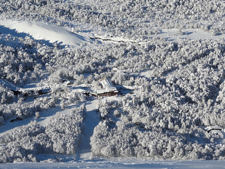
Weekly Global Snow News, updated 14 May 2026: Fresh snowfall in Argentina, Australia and Lesotho signals winter’s approach, while Japan maintains the world’s deepest snowpack.

Next 3 days weather summary:Mostly dry. Very mild (max 12°C on Sun morning, min 1°C on Sat morning). Wind will be generally light. | Days 4-6 weather summary:Mostly dry. Very mild (max 10°C on Tue morning, min 8°C on Tue night). Wind will be generally light. | |||||||||||||||||
Saturday 16 | Sunday 17 | Monday 18 | Tuesday 19 | Wednesday 20 | Thursday 21 | |||||||||||||
AM | PM | night | AM | PM | night | AM | PM | night | AM | PM | night | AM | PM | night | AM | PM | night | |
clear | clear | clear | clear | clear | clear | clear | clear | clear | clear | clear | clear | clear | clear | clear | clear | clear | clear | |
km/h | ||||||||||||||||||
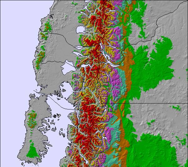
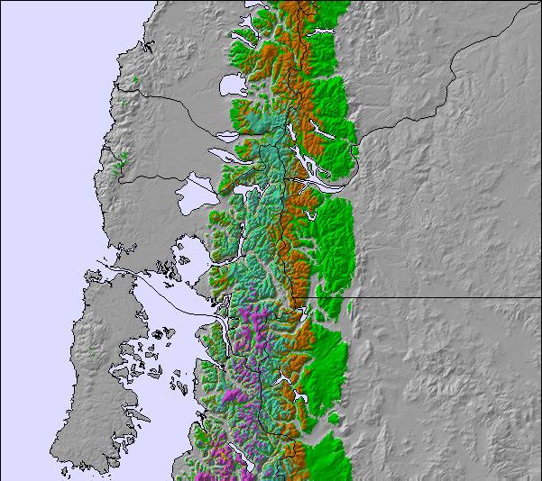
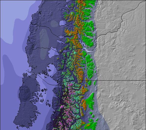
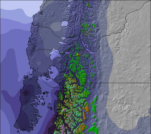
Snow map | 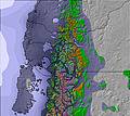 | 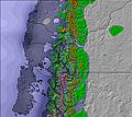 | 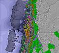 | 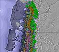 | 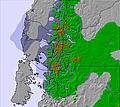 | 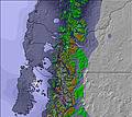 | ||||||||||||
— | — | — | — | — | — | — | — | — | — | — | — | — | — | — | — | — | — | |
— | — | — | — | — | — | — | — | — | — | — | — | — | — | — | — | — | — | |
max °C | 3 | 6 | 9 | 12 | 12 | 11 | 11 | 11 | 10 | 10 | 10 | 9 | 9 | 9 | 8 | 9 | 9 | 9 |
min °C | 1 | 5 | 7 | 10 | 12 | 11 | 11 | 10 | 10 | 9 | 10 | 8 | 8 | 9 | 8 | 8 | 9 | 9 |
1 | 3 | 5 | 9 | 11 | 11 | 11 | 10 | 10 | 6 | 7 | 4 | 4 | 6 | 5 | 7 | 8 | 9 | |
45 | 47 | 28 | 30 | 28 | 28 | 25 | 29 | 37 | 26 | 33 | 35 | 36 | 31 | 33 | 32 | 38 | 37 | |
1950 | 2550 | 3250 | 3300 | 3400 | 3550 | 3600 | 3700 | 3650 | 3400 | 3400 | 3500 | 3650 | 3700 | 3650 | 3550 | 3500 | 3450 | |
8:48 | — | — | 8:48 | — | — | 8:49 | — | — | 8:51 | — | — | 8:52 | — | — | 8:52 | — | — | |
— | 6:38 | — | — | 6:37 | — | — | 6:37 | — | — | 6:36 | — | — | 6:36 | — | — | 6:35 | — | |
Latest snow reports near Antillanca:
| Top snow depth: | 0 cm |
|---|---|
| Bottom snow depth: | 0 cm |
| Fresh snowfall depth: | — |
| Last snowfall: | 7 May 2026 |
| Snow Alerts | Create Alert |
0.3 | Bluebird Powder days Fresh snow, mostly sunny, light wind. |
|---|---|
0.4 | Powder days Fresh snow, limited sun, any wind. |
0.2 | Bluebird days Average snow, mostly sunny, light wind. |
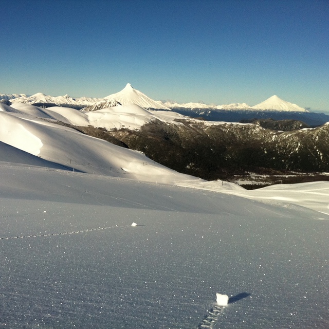

The above table gives the weather forecast for Antillanca at the specific elevation of 1290 m. Our sophisticated weather models allow us to provide snow forecasts for the top, middle and bottom ski stations of Antillanca. To access the weather forecasts for the other elevations, use the tab navigation above the table. For a wider view of the weather, check out the Weather Map of Chile.
Click here to read further information on freezing levels and how we forecast our temperatures.
Overall 3.5 Based on 35 votes and 8 reviews
Buen centro cuando están operando todos los medios de elevación... es común que no esté todo operando o que con un poco de viento cierren lo que le resta bastante!... aun así, en general, buena calidad de nieve y buenos fuera de pista!
Pablo Muñoz from Chile writes:
Buen centro cuando están operando todos los medios de elevación... es común que no esté todo operando o que con un poco de viento cierren lo que le resta bastante!... aun así, en general, buena calidad de nieve y buenos fuera de pista!

 Nearest