


Global Weekly Snow Roundup #314
Weekly Global Snow News, updated 14 May 2026: Fresh snowfall in Argentina, Australia and Lesotho signals winter’s approach, while Japan maintains the world’s deepest snowpack.

Next 4 days weather summary:A dusting of snow on Sat afternoon. Freezing level rising with drizzle on Mon afternoon. Freeze-thaw conditions (max 3°C on Mon afternoon, min -6°C on Sat night). Mainly near gales. | Days 5-7 weather summary:Mostly dry. Freeze-thaw conditions (max 12°C on Thu afternoon, min 0°C on Mon night). Wind will be generally light. | |||||||||||||||
Saturday 16 | Sunday 17 | Monday 18 | Tuesday 19 | Wednesday 20 | ||||||||||||
night | AM | PM | night | AM | PM | night | AM | PM | night | AM | PM | night | AM | PM | night | |
light snow | light snow | snow shwrs | snow shwrs | snow shwrs | clear | clear | some clouds | rain shwrs | some clouds | some clouds | cloudy | some clouds | clear | some clouds | some clouds | |
km/h | ||||||||||||||||
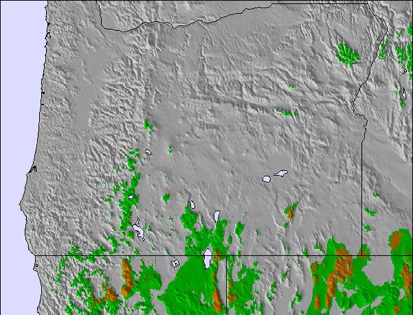
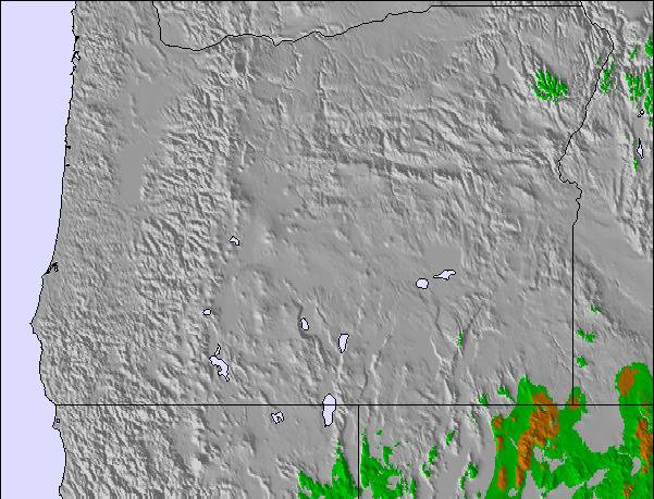
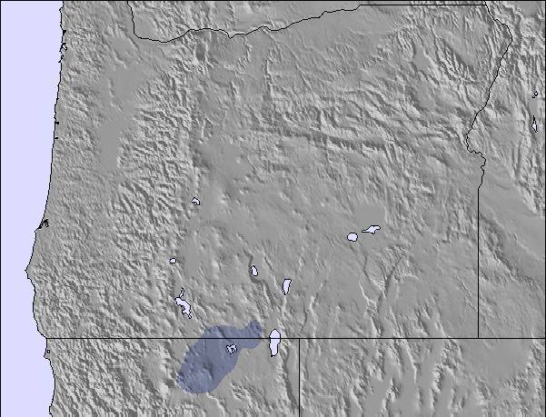
Snow map | 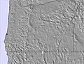 | 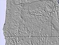 | 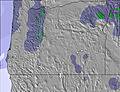 | 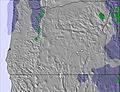 |  | 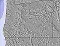 | ||||||||||
— | 2 | 2 | — | 1 | — | — | — | — | — | — | — | — | — | — | — | |
— | — | — | — | — | — | — | — | 1 | — | — | — | — | — | — | — | |
max °C | 0 | -5 | -3 | -4 | -5 | -1 | 0 | 1 | 3 | 2 | 2 | 4 | 3 | 4 | 7 | 7 |
min °C | -5 | -5 | -4 | -6 | -6 | -3 | -1 | 0 | 2 | 0 | 0 | 3 | 2 | 2 | 6 | 6 |
-13 | -13 | -13 | -13 | -13 | -11 | -8 | -5 | -3 | -4 | -3 | 0 | -2 | 0 | 5 | 3 | |
94 | 80 | 57 | 77 | 79 | 50 | 45 | 43 | 60 | 62 | 73 | 67 | 51 | 51 | 57 | 56 | |
1600 | 1700 | 1900 | 1300 | 1600 | 2100 | 2200 | 2450 | 2550 | 2350 | 2500 | 2700 | 2650 | 2750 | 3100 | 3300 | |
— | 5:22 | — | — | 5:20 | — | — | 5:18 | — | — | 5:18 | — | — | 5:16 | — | — | |
— | — | — | 8:15 | — | — | 8:15 | — | — | 8:16 | — | — | 8:17 | — | — | 8:19 | |
Latest snow reports near Anthony Lakes Mountain Resort:
| Top snow depth: | — |
|---|---|
| Bottom snow depth: | — |
| Fresh snowfall depth: | — |
| Last snowfall: | 27 Apr 2026 |
| Snow Alerts | Create Alert |
0.2 | Bluebird Powder days Fresh snow, mostly sunny, light wind. |
|---|---|
0.4 | Powder days Fresh snow, limited sun, any wind. |
0.4 | Bluebird days Average snow, mostly sunny, light wind. |
The above table gives the weather forecast for Anthony Lakes Mountain Resort at the specific elevation of 2301 m. Our sophisticated weather models allow us to provide snow forecasts for the top, middle and bottom ski stations of Anthony Lakes Mountain Resort. To access the weather forecasts for the other elevations, use the tab navigation above the table. For a wider view of the weather, check out the Weather Map of United States.
Click here to read further information on freezing levels and how we forecast our temperatures.
Overall 3.2 Based on 4 votes and 2 reviews
WOW !!!!!!!!!! I was treated to great conditions and great employee moral. I did a backcountry powder tour and had a amazing time. The backside of the mountain has no lifts and is served by their snowcat (ladybug) never waited more than a few minutes waiting for ride back up. Our guide knew the area well and took us down a really good mix of tree runs and glades.The other guests all seemed to have a good time as well ,even though most of us were strangers we bonded and had a good time together. I have ridden the lift served part of the area many times and have logged many good powder days over the years. Although I live on the other side of the state Anthony is my favourite Oregon resort. Don't be fooled by the mountain statistics on paper; it rides much bigger! Go ride/ski this place, you won't be disappointed.
Brent from United States writes:
WOW !!!!!!!!!! I was treated to great conditions and great employee moral. I did a backcountry powder tour and had a amazing time. The backside of the mountain has no lifts and is served by their snowcat (ladybug) never waited more than a few minutes waiting for ride back up. Our guide knew the area well and took us down a really good mix of tree runs and glades.The other guests all seemed to have a good time as well ,even though most of us were strangers we bonded and had a good time together. I have ridden the lift served part of the area many times and have logged many good powder days over the years. Although I live on the other side of the state Anthony is my favourite Oregon resort. Don't be fooled by the mountain statistics on paper; it rides much bigger! Go ride/ski this place, you won't be disappointed.
Read 1 more reviews of Anthony Lakes Mountain Resort or submit your own

 Nearest