


Global Weekly Snow Roundup #314
Weekly Global Snow News, updated 14 May 2026: Fresh snowfall in Argentina, Australia and Lesotho signals winter’s approach, while Japan maintains the world’s deepest snowpack.

Next 4 days weather summary:A dusting of new snow. Freeze-thaw conditions (max 11°C on Fri morning, min -2°C on Sat night). Wind will be generally light. | Days 5-7 weather summary:A dusting of new snow. Freeze-thaw conditions (max 9°C on Wed afternoon, min -5°C on Sun night). Wind will be generally light. | |||||||||||||||
Friday 15 | Saturday 16 | Sunday 17 | Monday 18 | Tuesday 19 | ||||||||||||
night | AM | PM | night | AM | PM | night | AM | PM | night | AM | PM | night | AM | PM | night | |
clear | clear | clear | clear | cloudy | some clouds | some clouds | light snow | snow shwrs | light snow | light snow | light snow | some clouds | some clouds | cloudy | some clouds | |
km/h | ||||||||||||||||
Snow map | 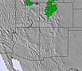 | 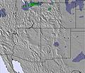 |  |  |  |  | ||||||||||
— | — | — | — | — | — | — | — | 1 | 1 | — | — | — | — | — | — | |
— | — | — | — | — | — | — | — | — | — | — | — | — | — | — | — | |
max °C | 7 | 11 | 11 | 7 | 9 | 8 | 3 | -1 | -1 | -3 | -1 | 1 | 0 | 4 | 7 | 4 |
min °C | 5 | 9 | 11 | 5 | 9 | 6 | -2 | -1 | -2 | -5 | -3 | 1 | -2 | 2 | 6 | 1 |
3 | 8 | 9 | 3 | 7 | 3 | -5 | -4 | -5 | -10 | -7 | -2 | -5 | 0 | 3 | -3 | |
20 | 26 | 32 | 29 | 28 | 52 | 71 | 65 | 89 | 83 | 86 | 62 | 52 | 44 | 40 | 32 | |
4100 | 3750 | 3900 | 3750 | 3850 | 3550 | 2900 | 2400 | 2200 | 2150 | 2150 | 2600 | 2650 | 2750 | 3150 | 3550 | |
— | 6:09 | — | — | 6:09 | — | — | 6:07 | — | — | 6:07 | — | — | 6:05 | — | — | |
— | — | 8:36 | — | — | 8:37 | — | — | 8:37 | — | — | 8:38 | — | — | 8:39 | — | |
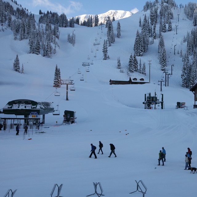
Latest snow reports near Alta:
| Top snow depth: | — |
|---|---|
| Bottom snow depth: | — |
| Fresh snowfall depth: | — |
| Last snowfall: | 5 May 2026 |
| Snow Alerts | Create Alert |
0.1 | Bluebird Powder days Fresh snow, mostly sunny, light wind. |
|---|---|
0.3 | Powder days Fresh snow, limited sun, any wind. |
0.0 | Bluebird days Average snow, mostly sunny, light wind. |
The above table gives the weather forecast for Alta at the specific elevation of 2600 m. Our sophisticated weather models allow us to provide snow forecasts for the top, middle and bottom ski stations of Alta. To access the weather forecasts for the other elevations, use the tab navigation above the table. For a wider view of the weather, check out the Weather Map of United States.
Click here to read further information on freezing levels and how we forecast our temperatures.
Overall 3.5 Based on 18 votes and 8 reviews
The most consistent and excellent snow and skiing in the United States. I don't hate boarder's, but I don't miss them, it adds to the "Skiing the way it used to be". Most of the best skiing requires a little effort and know-how to find, which also adds to the appeal. If you're a serious skier, and you had to be stuck at one resort for the rest of your skiing life, this would be a good place to be stuck.
Brett Rose from United States writes:
The most consistent and excellent snow and skiing in the United States. I don't hate boarder's, but I don't miss them, it adds to the "Skiing the way it used to be". Most of the best skiing requires a little effort and know-how to find, which also adds to the appeal. If you're a serious skier, and you had to be stuck at one resort for the rest of your skiing life, this would be a good place to be stuck.


 Nearest