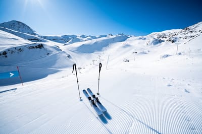
The snow forecast for Alpe d'Huez is: Light rain (total 9.0mm), mostly falling on Fri afternoon. Very mild (max 11°C on Fri afternoon, min 3°C on Fri night). Wind will be generally light.
Alpe d'Huez Weather (Next 3 days): The snow forecast for Alpe d'Huez is: Light rain (total 9.0mm), mostly falling on Fri afternoon. Very mild (max 11°C on Fri afternoon, min 3°C on Fri night). Wind will be generally light.
Alpe d'Huez Weather (Days 4-6): Moderate rain (total 17.0mm), heaviest on Wed night. Very mild (max 10°C on Mon morning, min 4°C on Wed night). Wind will be generally light.
Issued by Snow-Forecast.com at:12 pm (local time) / 06 Mar 2026
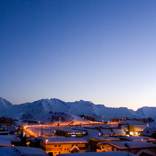
Alpe d'Huez Weather
(Next 3 days):
The snow forecast for Alpe d'Huez is: Light rain (total 9.0mm), mostly falling on Fri afternoon. Very mild (max 11°C on Fri afternoon, min 3°C on Fri night). Wind will be generally light.
Alpe d'Huez Weather (Days 4-6):
Moderate rain (total 17.0mm), heaviest on Wed night. Very mild (max 10°C on Mon morning, min 4°C on Wed night). Wind will be generally light.
Alpe d'Huez Weather (Days 7-16):
Interested in the 16-day Forecast? Unlock the full forecast and many more features by becoming a Pro member.
The above table gives the weather forecast for Alpe d'Huez at the specific elevation of 1100 m. Our sophisticated weather models allow us to provide snow forecasts for the top, middle and bottom ski stations of Alpe d'Huez. To access the weather forecasts for the other elevations, use the tab navigation above the table. For a wider view of the weather, check out the Weather Map of France.
Click here to read further information on freezing levels and how we forecast our temperatures.
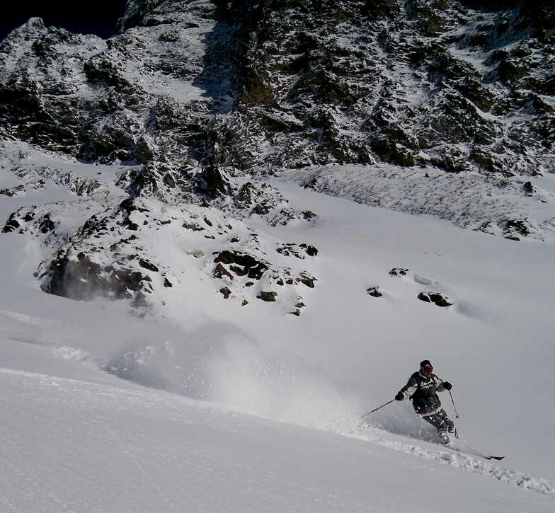
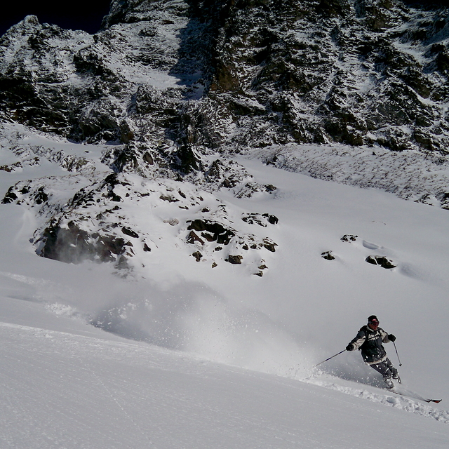
Having read a few of the reviews here of Alpe d'Huez I can say it does depend on your ability level and obviously the snow and weather conditions when you are there. But that is the same as everywhere, in reality. I was there in March about 10 years ago and had a great time. We got a load of fresh and it stayed untracked in many places for days after the event. This cannot be said to be the case in Les 3 V or Tignes/Val. These places have great infrastructure, but those 8 man high speed chairs come at a cost, the entire place can be tracked out by lunch time during the school holidays. Anyway, as another reviewer mentioned there is some excellent Hors Piste available. I liked the Auris area, which was lower down and sheltered from wind, also has trees for those weather days, But up high is really good, you can ski from the top down towards Vaujanay and get well over 1000m vertical off piste all the way. I hired a local EFS instructor for off-piste guiding for the afternoon, after the snow came, and it was excellent. He also thanked me and bought me a beer after because it wasn't your average day at work for him either. He asked what I wanted to ski, I said anything you can and enjoy. Really opened up the area, there are lots of cliff around there, so you cannot afford to wing it as you will end up having to hike back up if you end up that lucky. It is worth spending 160 Euros as I did to get the knowledge. Of course, if you're just there to end up skiing a few blue runs in the sunshine from lunchtime and end up in Folie Douce by 3pm maybe this review won't help you.
Having read a few of the reviews here of Alpe d'Huez I can say it does depend on your ability level and obviously the snow and weather conditions when you are there. But that is the same as everywhere, in reality. I was there in March about 10 years ago and had a great time. We got a load of fresh and it stayed untracked in many places for days after the event. This cannot be said to be the case in Les 3 V or Tignes/Val. These places have great infrastructure, but those 8 man high speed chairs come at a cost, the entire place can be tracked out by lunch time during the school holidays. Anyway, as another reviewer mentioned there is some excellent Hors Piste available. I liked the Auris area, which was lower down and sheltered from wind, also has trees for those weather days, But up high is really good, you can ski from the top down towards Vaujanay and get well over 1000m vertical off piste all the way. I hired a local EFS instructor for off-piste guiding for the afternoon, after the snow came, and it was excellent. He also thanked me and bought me a beer after because it wasn't your average day at work for him either. He asked what I wanted to ski, I said anything you can and enjoy. Really opened up the area, there are lots of cliff around there, so you cannot afford to wing it as you will end up having to hike back up if you end up that lucky. It is worth spending 160 Euros as I did to get the knowledge. Of course, if you're just there to end up skiing a few blue runs in the sunshine from lunchtime and end up in Folie Douce by 3pm maybe this review won't help you.
Free Snow-Forecast.com weather widget for your website
Embed the Alpe d'Huez weather widget on your site for free. It provides a weekly snapshot of snow and rain conditions across all elevations. Follow the two quick steps to grab your custom code and paste it into your site. Choose between metric or imperial units. Click here to get the code.


 Nearest