WORLD SNOW ROUNDUP #275
Issued: 18th January 2023
By Patrick “Snowhunter” Thorne
World Overview
It’s one of the most promising weeks of the season so far with heavy snowfall underway in the western Alps and Pyrenees and much colder temperatures, generally well below freezing, across western Europe at last. There is some catching up needed but several of the continent’s largest ski areas including France’s 3 Valleys and Switzerland’s 4 Valleys report around 90% of their terrain open. Other areas of Europe seeing improved conditions include the Balkans, where it’s cold and snowy too in Bulgaria and Bosnia and ski areas are re-opening terrain as fast as they can. And up in Scotland there’s also the most terrain open so far this season.
Across in North America, most huge storms have been pounding the West Coast although a dry spell is finally here now. While on the east there’s been more snowfall too. But the battle with warmer temperatures continues.
Europe
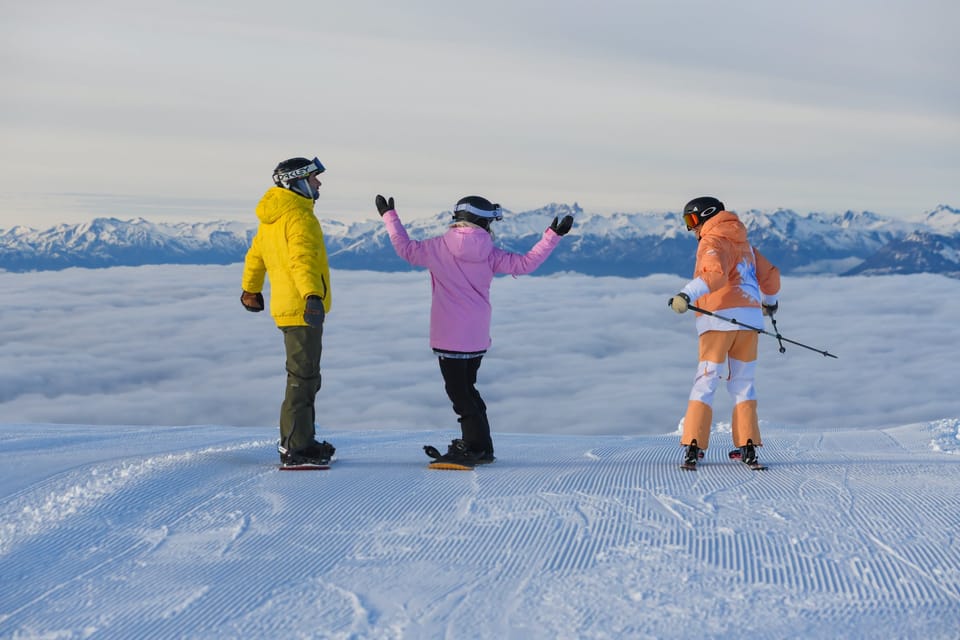
EUROPE INTRO
It’s an exciting week in the Alps with things appearing to have finally turned the corner, perhaps, with low temperatures across much of Europe and snow falling over a wide area, heaviest at present in the Western Alps and the Pyrenees. Temperatures have dipped below freezing even in lower resorts and lows of -20C have been recorded on high slopes. The new snow has allowed centres to open more terrain, with some of the biggest regions now almost fully open for the first time this winter. Conditions remain ‘wintery’ in Scandinavia, although there’s been less fresh snowfall here in the last week than the previous one and they’re improving across the North Sea in Scotland too where more and more runs are open. Finally, cold and snowy weather has arrived down in the Balkans where there’s a lot of catching up to do, but it is an improving picture as well.
AUSTRIA REPORT
Although there have not been quite such big snowfalls reported in Austria as further west, it’s a very similar picture on higher slopes with, for example, the Valluga slopes above St Anton reporting a jump of over two feet (60cm) on its stats a week ago and it was a similar story for nearby St Anton. Most of Austria’s big ski areas remained 60-80% open through the warm weather and continue to be nearly fully open. Ischgl (30/70cm / 12/28”) continues to have around 90% and over 200km of slopes in its Silvretta Arena open. Other big areas like the Skiwelt, Saalbach Hinterglemm Ski Circus and Arlberg had dropped a little below 200km (125 miles) open during the recent warm spell, but are now reopening runs with the low temperatures and fresh snowfall.
AUSTRIA FORECAST
Staying well below freezing with light to moderate snowfalls expected through the coming week, 5-15cm (2-6”) daily below 2000m and for higher Austrian areas 20-30cm (8-12”) possible some days. Lighter snowfall and more sunny spells by the weekend.
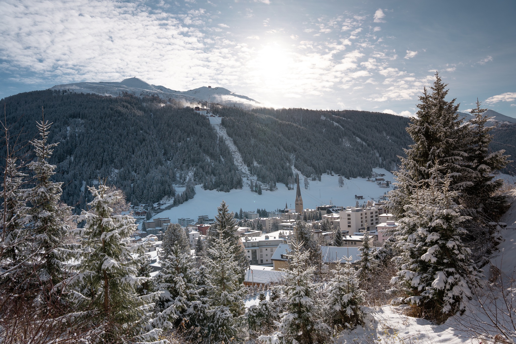
SWITZERLAND REPORT
It has turned much colder in the Swiss Alps after warm weather at the end of last week brought another, albeit less severe, rain-rather-than-snow period that even briefly impacted some of the racing at Wengen. The rain had turned to heavy, wet snow by Sunday lunchtime though and over the past few days to quality powder. Unfortunately, it’s just not arriving in the volumes that forecasts in the latter half of last week were predicting, more like 10-20cm (4-8”) totals rather than 30-60cm (1-2 feet) hoped. The fresh snowfall and colder weather have allowed ski areas to open more terrain and now some of the world’s biggest have the most terrain they’ve been able to open all winter available to ski. Switzerland’s biggest, The 4 Valleys around Verbier (40/81cm / 16/32”), for example, now has 90% of its 400km+ of slopes open. Zermatt’s (10/110cm) ski area has 250km skiable, the biggest amount yet this winter.
SWITZERLAND FORECAST
It’s looking like it will stay dry but cold with sunshine increasingly prevalent from the weekend. Temperatures widely in the range of -10 to -20C, especially on higher slopes, but not getting above freezing much in resort either.
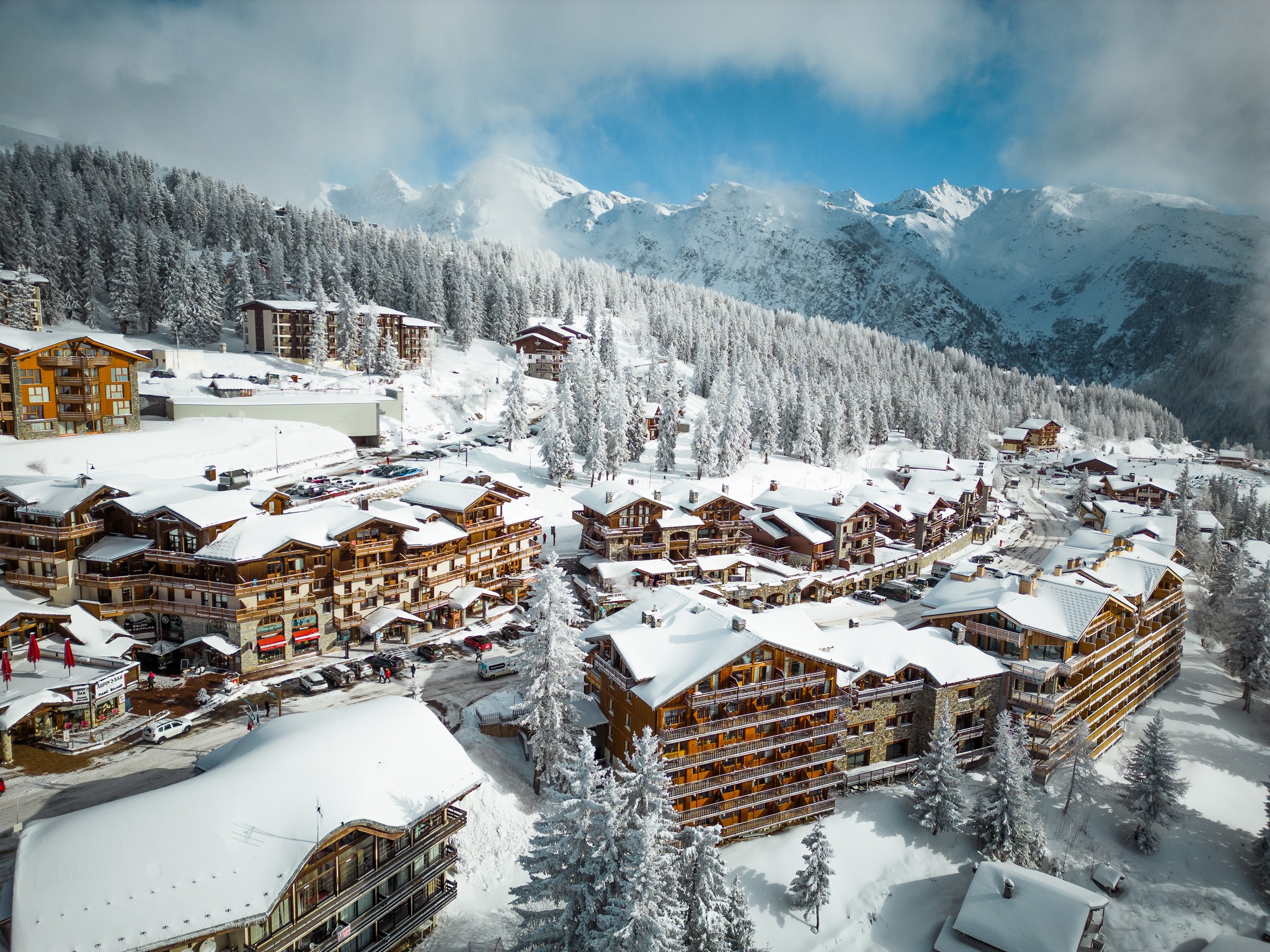
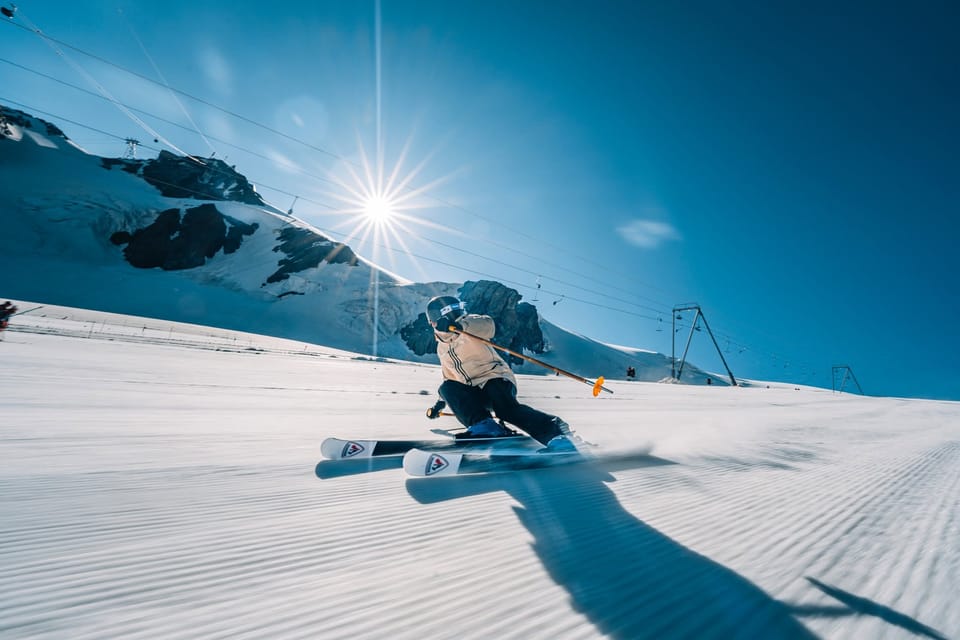
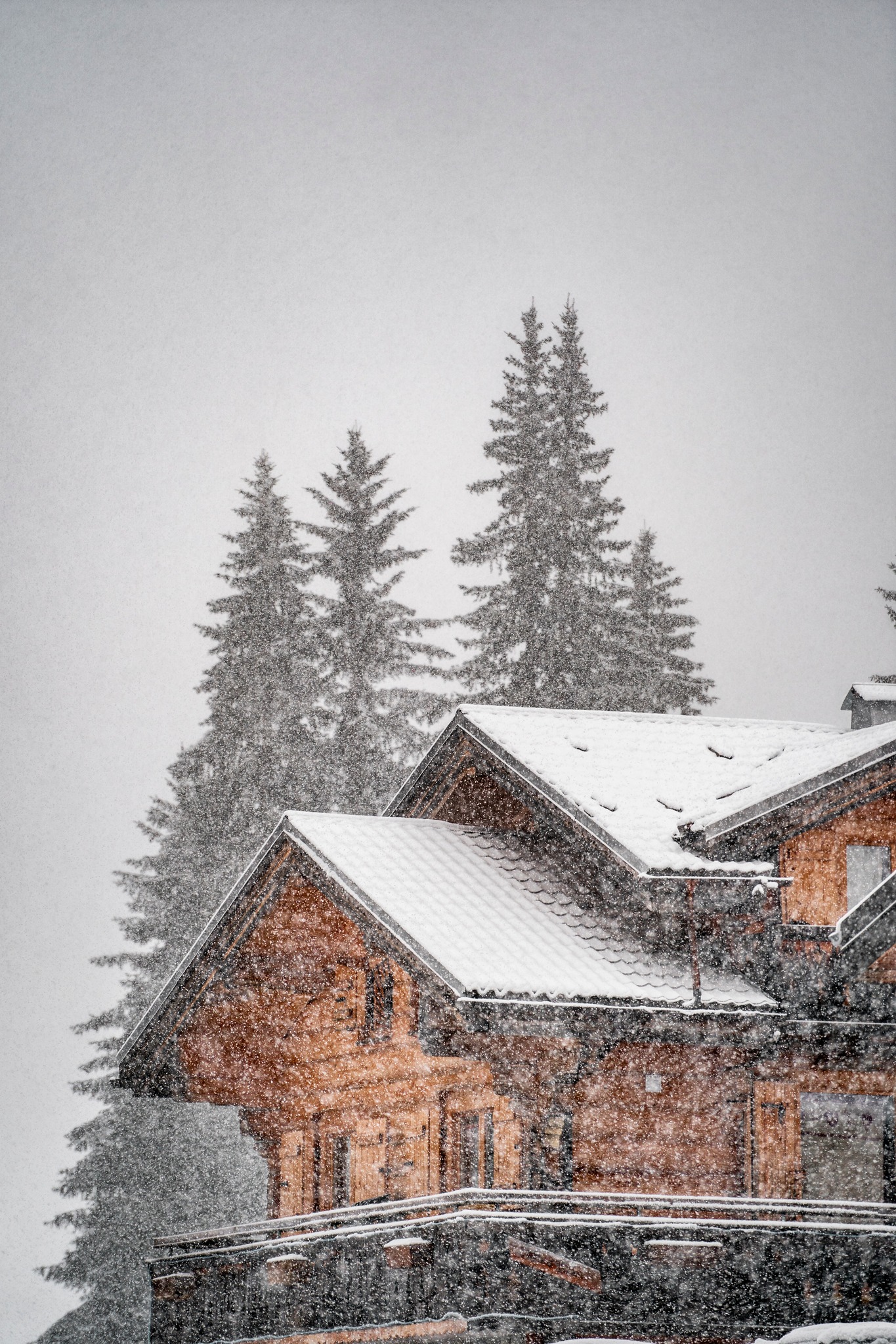
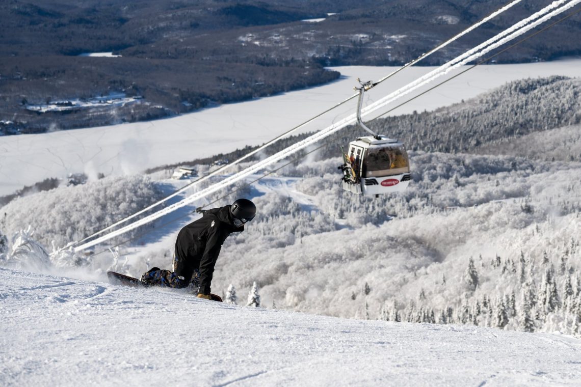
FRANCE REPORT
French resorts are enjoying the biggest boost, of the big four alpine nations, from the current snowstorm and above 2000m at least, were already at average or above average snow depths. Now the number posting 2 metres (80 inches) plus upper slope base depths has kept climbing and Alpe d’Huez was the first in Europe, on Monday, to report it had reached a 3m (10 feet) base on its upper slopes. But even before the current snowfall started Avoriaz (60/255cm / 24/102”) reported its upper base figure was up 55cm (22”) on a week ago, Les Arcs 45cm (18”) and Megeve (40/100cm / 16/40”) 50cm (20″). The problem was it’s the lower resorts needing snow and they did get it as we were completing last week’s report, allowing Les Gets, for example, to reopen half a dozen of its slopes, but then things stalled as the weather warmed again. Now though it is below freezing 24-7 down to the valley floor and so bases are building at resort level and the picture moving forward is much more positive. As a result, on Tuesday Les Gets fully reopened its entire ski area. The bigger, higher regions like Paradiski, the 3 Valleys and Tignes-Val d’Isere were already 70-90% open and it now seems like areas with more lower-lying terrain like the Portes du Soleil will quickly make up lost ground and re-open slopes.
FRANCE FORECAST
The current snowy weather is expected to continue into Thursday, progressively easing off, with drier and then sunny conditions following. It should stay cold though remaining below freezing down to the valley floor.
ITALY REPORT
Western Italy is seeing the best of the fresh snowfall this week with snow depths finally starting to increase again from the very thin bases that survived the Christmas and New Year warm spells. Many areas have reported 20-40cm (8-16”) accumulations. It’s also much colder, thankfully. So Italy’s extensive snow-making arsenals have been fully fired up to top up the natural stuff too. This cold weather has spread right across the country to the Dolomites in the northeast. La Thuile (49/190cm / 20/36”), over on the French border, is posting the deepest snow in the country, Cervinia (10/110cm / 4/44”) the most open terrain, over 250km (154 miles) of slopes shared with Zermatt over the border.
ITALY FORECAST
The snowy weather will ease away through Thursday with the sunny weather forecast for much of the country through the weekend. However, temperatures should stay low, below freezing in valleys and double digits below zero Celsius on higher slopes.
GERMANY REPORT
German ski areas have been hardest hit by the warm weather over Christmas and new year in the Alps with many yet to open for the season. The good news is that the current very cold and snowy weather is reaching the country so it looks like many more will be finally able to start 22-23 over the next few weeks. In German media some have been reporting a late January opening is pretty usual these days anyway. The country did see cold weather in mid-December but then temperatures as high as +16C over the new year. For now, though, about 90% of German ski areas remain closed. The largest, alpine resorts in the south have opened some higher terrain though with Reit im Winkl (0/40cm / 0/16”) offering the most terrain open, about 75% of its 42km of slopes are open. Garmisch Partenkirchen has been forced to pull out of hosting its annual World Cup ski races, however.
GERMANY FORECAST
More consistently cold and frequently snowy weather in the week ahead, which should hopefully allow at least some resorts to open.
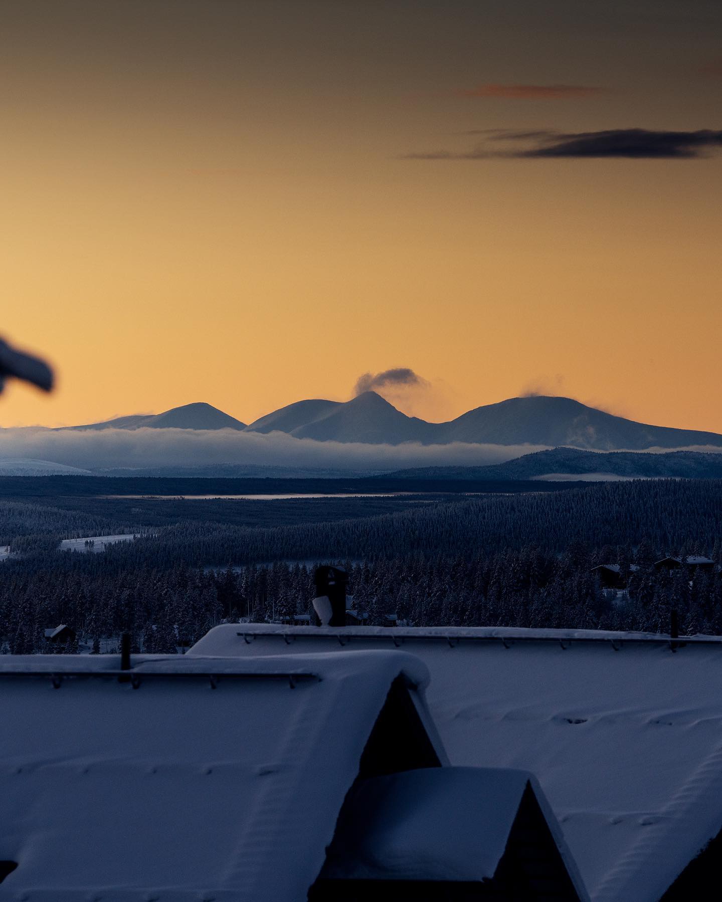
SCANDINAVIA REPORT
After the heavy snowfall of last week things have quietened down a little in Scandinavia, although it remains cold and the snow is still falling. Hemsedal (100/150cm), for example, which has been posting the region’s deepest snow, reported another 12cm (5”) at the weekend but it hasn’t impacted the reported base depths there. As with most Norwegian centres, almost all slopes are open. Sweden isn’t doing quite so well and the largest centre Åre (29/42cm / 12/17”) only has a little over half of its runs open, but that’s still the most in the region with 50km (31 miles) of slopes skiable.
SCANDINAVIA FORECAST
Cold but mostly dry in Scandinavia for the remainder of this week and into the weekend. There’s little snow forecast but temperatures typically between freezing and -20C
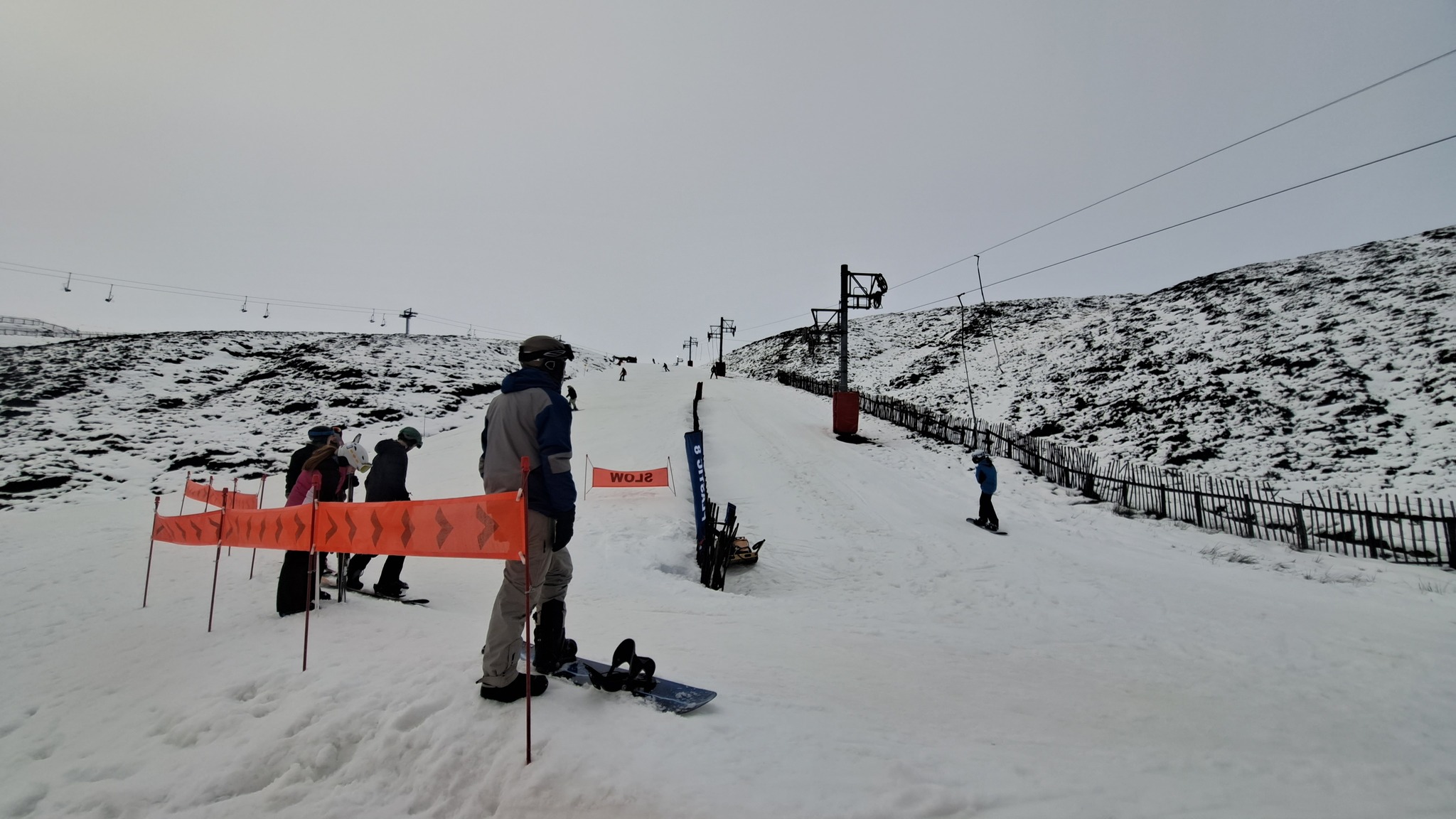
SCOTLAND REPORT
Conditions continue to improve on Scottish slopes with some cold and snowy weather allowing all five centres to open and open more terrain. Glencoe (30/60cm / 12/24”) has almost its entire mountain open and fellow West Coast resort Nevis range (10/40cm / 4/16”) is now open for the season. Glenshee (20/30cm / 8/12”) had six lifts operating to start the week and Cairngorm (20/40m / 8/16”) is up to a dozen runs open now.
SCOTLAND FORECAST
Continuing to look promising with temperatures remaining below freezing and getting to -10C on higher slopes overnight. More snowfalls are forecast with sunny spells in between.
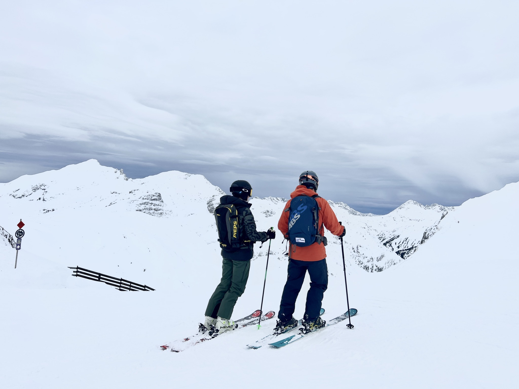
SPAIN / ANDORRA REPORT
Heavy snowfall has finally arrived in the Pyrenees dramatically improving conditions after a month with often warm, dry weather ate away at the thin base that had built by mid-December. Some centres have had 30-40cm so far and it is still falling as we publish this week’s report. It’s unclear how big a difference the new snow should make but centres like the region’s largest, Andorra’s Grandvalira (20/50cm / 8/20″), which had dropped to having less than half of its 240km of slopes open from nearly 180km in mid-December, should be able to greatly increase that back up again.
SPAIN / ANDORRA FORECAST
The snowfall is forecast to continue until the end of Wednesday/Thursday with temperatures widely getting into the teens below zero Celsius on higher slopes and staying below freezing in the resort too. Sunny at the weekend before the next front rolls in.
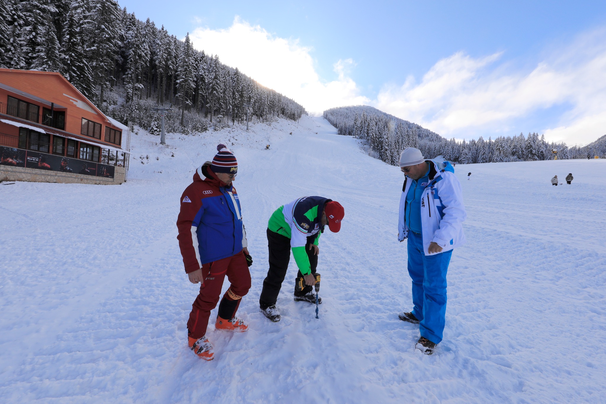
BULGARIA / ROMANIA REPORT
There has been a welcome switch to predominantly sub-zero temperatures and snowfall in the Balkans after the warm month from mid-December to mid-January and Bansko (0/50cm / 0/20″) and the country’s other centres have been opening more terrain from the next-to-nothing they had open previously as a result. All that being said, as we complete this week’s report, there’s still not a lot yet open, just a handful of runs, but these numbers should not grow fast as it stays cold and more snow falls.
BULGARIA / ROMANIA FORECAST
Remaining cold and snowy with light to moderate snow showers though the rest of the week. Temperatures in the +5 (but generally colder than that) to -8 range allow for more overnight snow-making.
CZECH REPUBLIC / SLOVAKIA REPORT
The cold weather has made it up to the Czech and Slovak Republics too where the bigger ski areas have been opening more terrain and some smaller centres that had not been able to open until now have been taking advantage of the colder temperatures to do so. Jasna (30/70cm / 12/28”) now has about 90% of its terrain open, the highest percentage of the season so far.
CZECH REPUBLIC / SLOVAKIA FORECAST
A week of fairly relentless snowfall is ahead with ski areas seeing temperatures consistently below freezing day and night to low elevations and 10-20cm (4-8 inch) accumulations occurring daily.
NORTH AMERICA INTRO
Other than the snow depth numbers, already the greatest in the world this season, continuing to climb in California, the ski season trends we’ve seen for the past few months have continued for another week in North America. They are more big storms hitting the Pacific coast bringing with them the kind of snow volumes that cause operational issues for ski centres in the region, while in the east it has been another week of temperatures rising and falling bringing rain as well as snow so that things are kind of ok, but not as good as you’d hope in mid-January. Other than that, pretty well everywhere is open and it feels like a great season so far in between these two extremes, including in the Rockies.
ROCKIES REPORT
Conditions continue to be generally excellent in the Rockies with more significant snowfalls with many resorts reporting a foot (12”) or more in 24-hour periods through the weekend, but without quite the extremes of weather that shut everything down further west. All resorts in the region are fully open with Alta (72/157″ / 170/394cm) posting the second deepest snowpack in the world at present and Park City (87/104” / 218/261cm) the most terrain open in the United States.
ROCKIES FORECAST
It’s a cold and snowy forecast for the remainder of this week in the Rockies with light to moderate snowfall forecast daily and 2-6 inch (5-15cm) daily totals likely as temperatures remain below freezing day and night.
USA WEST REPORT
There were short-lived celebrations on Saturday when the skies finally cleared over Californian ski slopes and skiers and boarders were able to enjoy the vast volumes of snow that have fallen there this season before the next super storm rolled in making getting to the slopes difficult, and opening slopes challenging for resort teams seeking to make them avalanche safe and simply dig out the lifts. Mammoth Mountain’s (164/232” / 410/580cm) base has continued to grow at a rapid pace and is now by far the deepest in the world, with five of the other six deepest reported bases worldwide on the US West coast.
USA WEST FORECAST
After the latest storms at the weekend it is now looking a little calmer for the coming week with sunshine returning and temperatures in the range of 10 degrees below freezing to five degrees above.
MIDWEST REPORT
Another better-than-expected week in New England when forecast dry weather instead saw snowfalls of 6-9 inches (15-23cm) across a wide area as snow clouds from the west continued further east than forecasting models had predicted. Michigan’s Ski Brule (56/56″ / 140/140cm) is the first to break through the 50″ base marker, it has all runs open too, after adding another 8″ (20cm) to its base over the past week.
MIDWEST FORECAST
Quite a snowy picture for the week ahead in the Midwest with temperatures 5-10 degrees below freezing and frequent light to moderate snowfalls forecast and the potential of a foot (30cm) of cumulative snowfall by this time next week.
USA EAST REPORT
Winter 2022-23 being what it is, we’ve had another week of fluctuating temperatures bringing snowfall but also rain once again to east coast ski areas. Those at more southerly latitudes remain unable to open and the winter appears to be edging closer to being a complete write-off. The bigger resorts of New England are open but are battling to open as much terrain as they’d like. Sunday River (0/12″ / 0/30cm) continues to claim the most terrain open in the region despite its thing base and about 2/3 of its maximum possible area. Killington (16/20″ / 40/51cm), the region’s biggest area, has a little over half of its runs open.
USA EAST FORECAST
Thankfully, it’s a mostly cold weather forecast, with highs just a few degrees below freezing in the valleys in the afternoons, but mostly well below. Not much snow forecast but temperatures are low enough for snow-making and hopefully some natural stuff to end the week.
CANADA WEST REPORT
It has been a week of quite active weather fronts in western Canada with big storms hitting into the weekend. The continent’s largest resort Whistler Blackcomb (0/189cm / 0/75”) was forced to close some terrain due to issues including high avalanche danger, after the last big storm blew through. While Big White (40/175cm / 16/70”) warned skiers to be wary around trees and pitched rooves on buildings due to matures trees falling over and large roof slides off rooves because of all the snow. Kimberly (84/222cm / 34/89”) over on the east side of BC continues to post the region’s deepest snow.
CANADA WEST FORECAST
The forecast is for predominantly sub-zero temperatures and some light snowfall daily, with mostly overcast skies and some heavier snowfall likely to end the week.
CANADA EAST REPORT
A good week for eastern Canada with a major snowstorm last Friday-Saturday bringing much-improved cover to many of the region’s resorts and powder conditions once skies cleared around Sunday. Tremblant (40/130cm / 16/52”) now has about 90% of its terrain open, the highest percentage of the season so far. Mont-Sainte-Anne ( 20/45cm / 8/18”) has an improved base, if not yet a great one, and about 44km (28 miles) of slopes open, about two-thirds of its potential terrain.
CANADA EAST FORECAST
A fairly promising week for powder lovers in the east with snow forecast most days into next week, a few centimetres some days and over 10-20cm (4-8”) others. Temperatures remaining below freezing to all levels day and night.
Asia
JAPAN REPORT
The snow has continued to fall across Japanese ski fields with some resorts now reaching 4 metres (13+ feet) snow depths. But there have also been warm temperatures at times, which have destabilised the snowpack and sadly led to avalanches in the backcountry, one of which led to a fatality in a group on Mt Yotei at the end of last week. Sapporo was reported to have recorded its warmest January day in 90 years on Saturday. But temperatures dip back well below freezing from Sunday and resorts started reporting more snowfall on Monday. Niseko (90/255cm / 36/102”) is on its way to posting 5 metres of snowfall so far this season.
JAPAN FORECAST
The forecast is for temperatures to stay more consistently below freezing over the coming week with frequent snow showers. But sunny spells are also forecast across Japan’s snow fields.
You might also like...
Southern Hemisphere Weekly Snow Roundup #234
Northern Hemisphere Weekly Snow Roundup #324
Global Weekly Snow Roundup #324