WORLD SNOW ROUNDUP #251
Issued: 3rd August 2022
By Patrick “Snowhunter” Thorne
World Overview
We’re about midway through the 2022 ski season in the southern hemisphere now as we start
August and almost all of the ski centres in the Andes, Australia, southern Africa and New Zealand are
reporting good conditions. Most are now fully open and building decent snow depths.
Most of the more active weather of the past seven days has been reported in Australia and
New Zealand, both of which have seen big new snowfalls and great powder conditions some days,
but also blizzard conditions and gale force winds closing slopes to deliver that snow on others.
In the northern hemisphere, there was more bad news in the Alps late last week as Zermatt
announced that its glacier ski area, the highest in Europe, was being forced to temporarily shut down
due to unprecedented heat. It’s just the latest and most high profile and high altitude in a line of
resorts including Passo Stelvio, Les 2 Alpes and the Molltal glacier, which would normally be open in
the Alps for summer skiing and boarding in July. Only one resort, Hintertux, remains open at present
and it too has a fast-thinning base and diminishing terrain available. Nowhere is immune to the
global climate emergency.
The ski season has ended in Asia as of last weekend with Japan’s Gassan ski centre ending its 2022
season. The last few weeks had seen all but hike-to terrain high above the top of the chairlift
melting away and the remaining base thinning fast, but the centre did make it through to the end of
last month, the planned season end. So, we are now down to lift-accessed skiing on five continents.
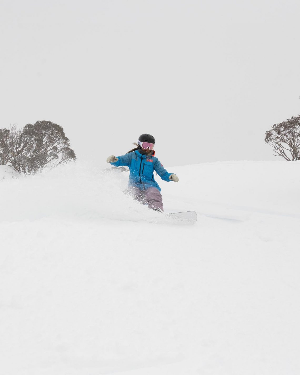
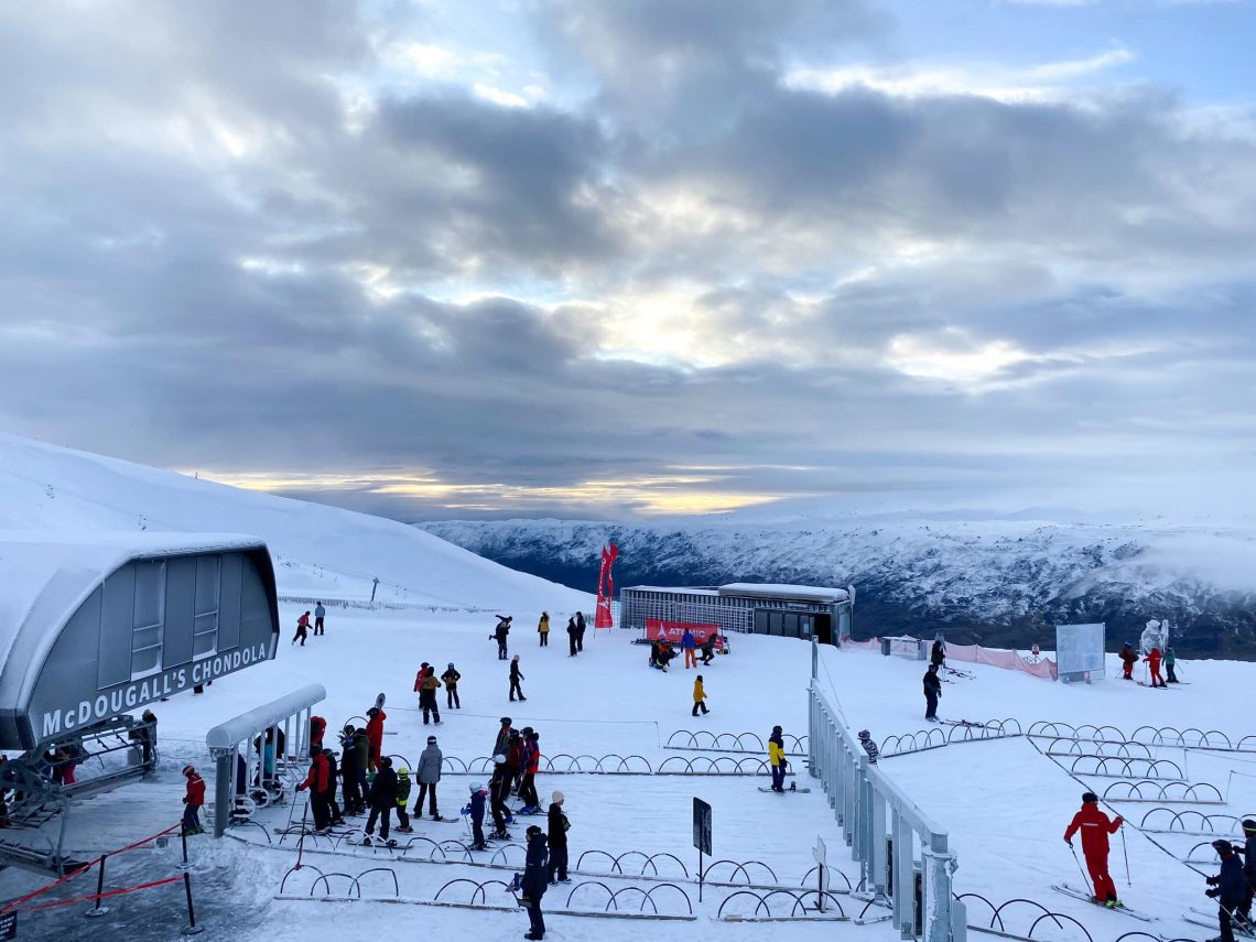
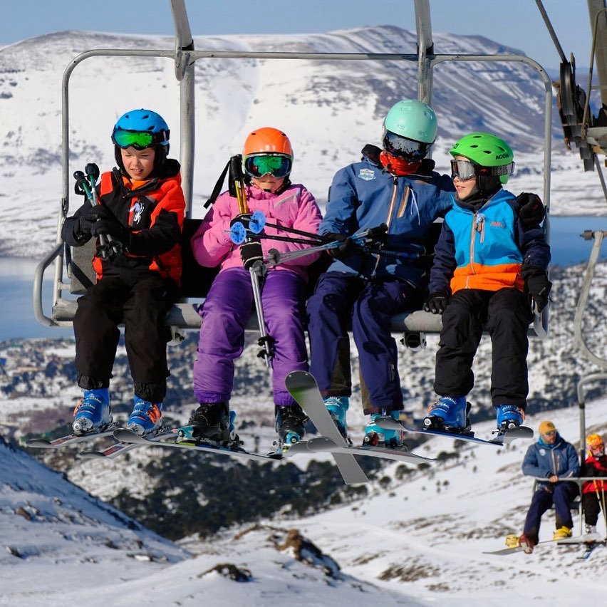
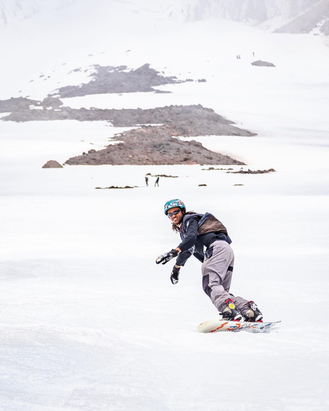
As mentioned in our world overview almost all ski areas in the southern hemisphere are now fully open, with all lifts turning and all runs open. The biggest snowfalls of the past seven days have been reported in New Zealand where some centres have had more than 60cm (two feet) of fresh snowfall now from a series of still ongoing storm systems. These have led to resort closures as the weather blows through and centres dig out but when open, sublime powder conditions. Australian resorts have also had a good snowfall at the weekend, but the next few days are looking problematic with gales and initially rain, before a return of snowfall there. Calmer in the Andes but more fresh snowfall for Afriski in Lesotho.
AUSTRALIA REPORT
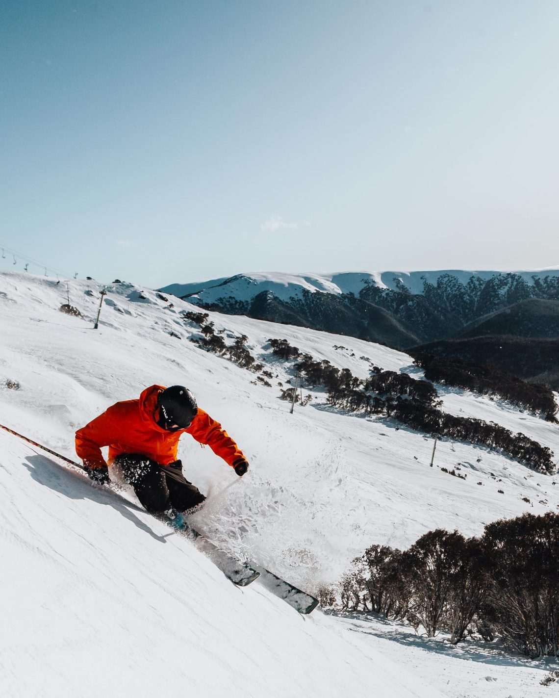
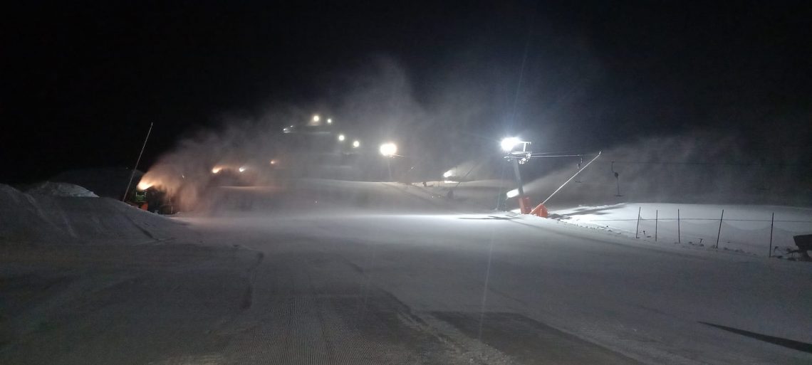
It’s been another fairly quiet week for weather in Australia with ski areas posting light snowfalls now and then but more often blue-sky days with everything open. The great conditions continue to draw big crowds and several resorts were again forced to make the decision to close access as slopes and/or car parking filled. Falls Creek (70/107cm / 28/43”) was one of those closing to day traffic at the weekend after parking lots hit capacity. All Aussie areas are reporting good snow cover with at least 60m (two feet) of snow lying even on lower slopes, with a number posting a metre (40”) plus on higher runs, healthy stats for the country’s snow cover. Thredbo (80/129cm / 32/44”) has the deepest snowpack and Perisher (75/110cm / 30/44″) has the most terrain open in the country at present with 100% of its 65km (41 miles) of so of slopes open. Over in Tasmania Ben Lomond was another Aussie area to find demand outstripping available space, so it is not just the big players. It had to suspend ticket sales at the weekend as slopes became full. It had reported temperatures dropping back down to around -3C and overnight snowmaking underway.
AUSTRALIA FORECAST
Alas, the next few days are not looking great for Australia’s ski areas with warm weather and gale-force winds due to hit, potentially bringing a period of rain to some centres which clearly isn’t great news for the snowpack if that happens. The better news though is that by the end of the week things should turn more wintery once more with fresh snowfall expected.
NEW ZEALAND REPORT
There were superb blue-sky conditions for many ski areas in New Zealand at the end of last week and into the weekend. The fresh powder days followed further light to moderate snowfalls in the middle of last week and arrived with temperatures hovering a few degrees below freezing at the start of the ski day.
At present, though another front is moving through, and most centres have temporarily closed with winds as strong as 140+km/hr / 90 mph hitting and blizzard conditions in the mountains. The good news is this should mean more powder days later this week as it clears, and access roads and lifts are dug out once more.
Most ski areas in the country, particularly on the South Island, are now posting healthy base depths, with several having more than a metre (40”) lying on lower slopes and more than two metres (80”) higher up. Some of the deepest reported is at Treble Cone (120/240cm / 48/92”) and Temple Basin (117/270cm / 47/108”). Most of the South Island centres are fully open too with all runs skiable and all lifts turning. Cardrona (80/140cm / 32/116”), Mt. Hutt (107/179cm / 43/68”) and Coronet Peak (65/150cm / 26/60” each claim the joint most open (each with 40km (25 miles) of trails open.
On the North Island, Turoa and Whakapapa, which make up the country’s largest ski resort on Mt Ruapehu and are often the last areas open in New Zealand and the whole southern hemisphere in late October or even November, continue to face a challenging 2022 winter and have limited terrain open still. That said, it’s a much better picture than a week ago with the weekend storm bringing 40-50cm (16-20 inches) of fresh snow here too, and the strong winds working to fill in gullies. There were initial issues, common in the region, of icing of lifts that needed to be cleared but by Sunday conditions were the best of the season so far with the most terrain of the winter open, so far.
NEW ZEALAND FORECAST
There’s not really expected to be much of a break in the snowy and sometimes stormy weather on the South Island until the weekend. Temperatures are in the -5 to +5C range. Clearer skies on the North Island in the latter half of this week.
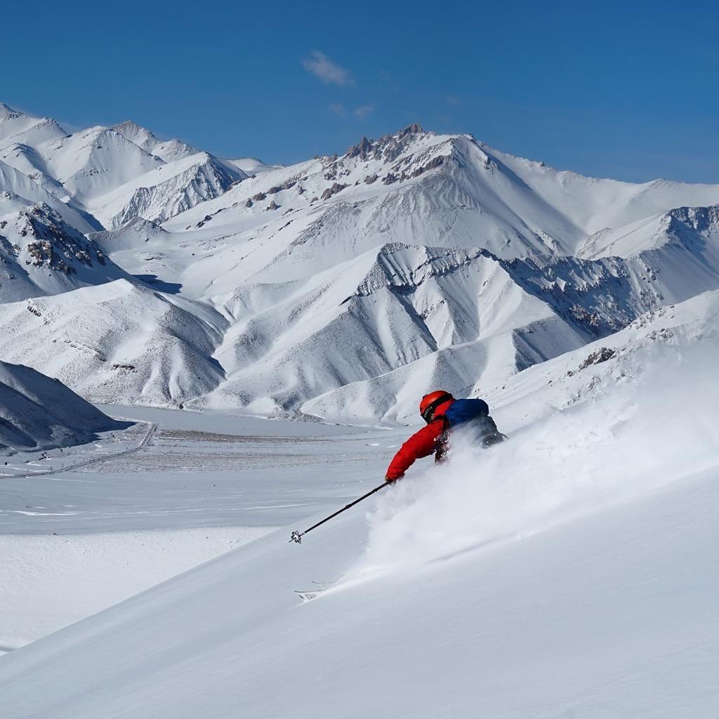
ARGENTINA REPORT
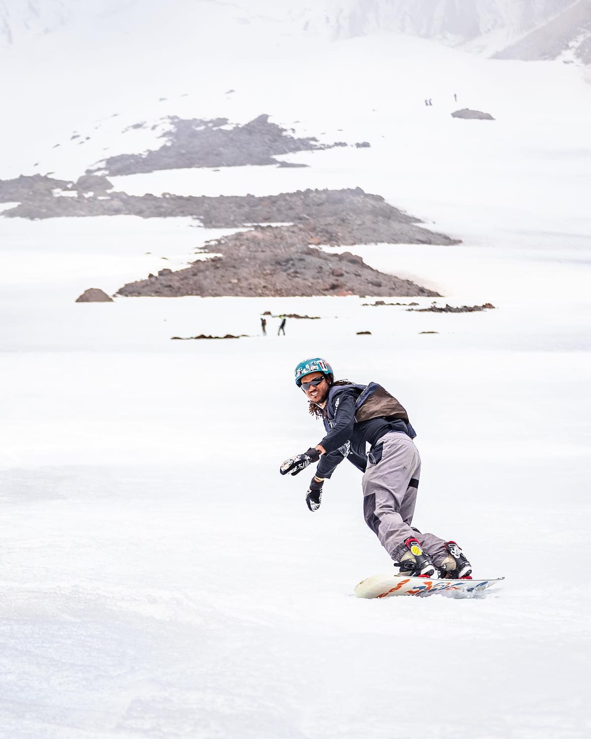
It has been a fairly quiet week for snowfall in Argentina with some fresh snowfall reported but mostly sunny weather dominating. However, the country’s ski areas are posting mostly slightly deeper snow stats than its Chilean neighbours, with one big exception. Catedral (40/120cm / 16/48”) has the most terrain open of any one area in the world at present with 80km (50 miles) of runs. La Hoya has been hosting both Argentina’s national race team and some international teams as the options in the northern hemisphere are largely literally melting away. Caviahue (160/220cm / 62/88”) is posting the deepest base in the country with 80% of its slopes open. Las Leñas (65/165cm / 26/66”), which provides access to the continent’s largest inbound freeride terrain, has the second deepest and is reported to have some of its best conditions in years.
ARGENTINA FORECAST
It’s looking like a snowy end to the week for many Argentinian ski areas, particularly in the northern half of the country. Snowfall should be heavy from Thursday through to Saturday with potentially 60cm (two feet) of fresh cover for some. Other than this, predominantly sunny on other days with temperatures in the range -8C to +5C.
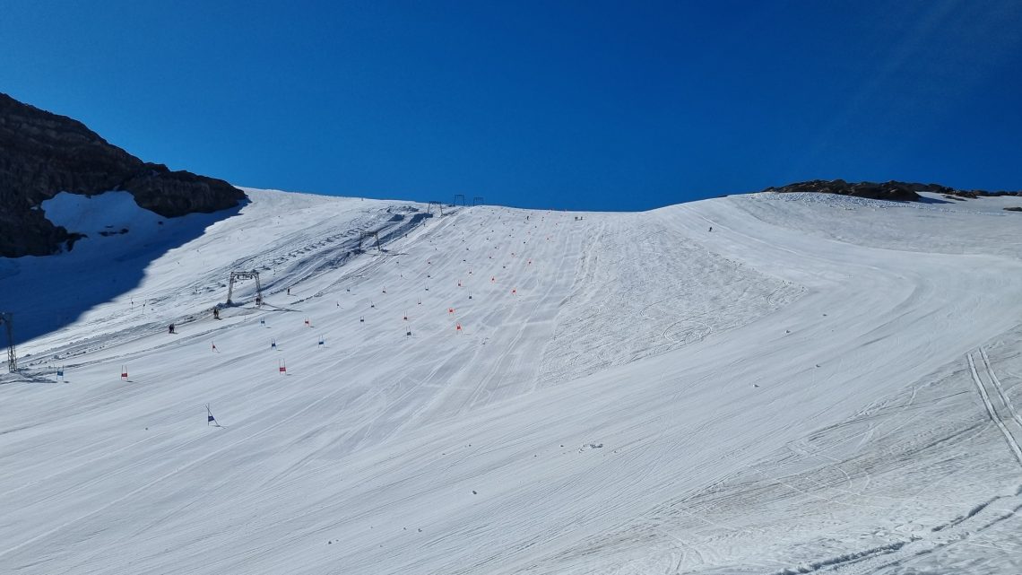
CHILE REPORT
It has been another fairly quiet week in Chile for weather, with some fresh snowfall reported but also a lot of sunshine. Portillo (83/168cm / 33/67”) reported that it had opened its famous Roca Jack descent for the first time since 2019. Further south Nevados de Chillán (80/350cm / 72/140”) continues to post the deepest snowpack in the southern hemisphere and the second deepest in the world at present.
CHILE FORECAST
The largely sunny weather in Chile is expected to continue to be the norm over the coming week, with temperatures ranging between about -12C at night to +5C in the daytime. That said, a snow-bearing front will move through at the end of the week bringing 20-40cm of snow over 24-48 hours for many but potentially longer periods of snowfall over up to 72 hours for some.
AFRICA REPORT
Afriski (20/50cm / 8/20”), in Lesotho, continues to operate into August and is expected to make it through to the end of the month, its usual end to the season. There was more fresh snowfall reported at the end of last week and then again at the start of this which temporarily closed high passes overnight. Although daytime temperatures have been creeping up a degree or two, overnight lows have continued to be sub-zero and snowmaking systems have been fired up in the small hours replenishing cover lost to daytime thawing, so everything remains open.
AFRICA FORECAST
The slow drift towards warmer conditions continues but overnight lows should continue to drop towards double figures below freezing meaning the little precipitation forecast could still be snow (it’s mostly sunny as usual though) and that snowmaking guns can fire up as required. Daytime highs of +5 to +10C will cause some thawing on the other side, but not so much it can’t be topped up as needed.
EUROPE INTRO
As mentioned in the world intro, the latest bad news from the Alps was Zermatt’s decision to close its ski slopes, the highest in Europe, temporarily from last Friday, due to the ongoing heat melting all snow from the runs and exposing the ice beneath. This is major news as well as sad news because Zermatt endeavours to open 365 days a year, weather permitting, and because these are Europe’s highest lift-accessed ski slopes which have always had guaranteed snow cover until now. It means that as we start August only two glacier areas are open in the Alps and one of these is only open to race teams, not the public, another new all-time low. Slightly better news from Scandinavia though where glaciers got much more snow than those in the Alps last winter and have not seen such high temperatures through spring and summer. There are now two areas open again there. It’s the first time that more glacier areas have been open in summer in Scandinavia than in the Alps.
ALPS REPORT
Despite most glaciers closing it has been feeling a little more changeable and a little cooler above 3,000m than it has for the last three or four months. Hintertux (15/25cm / 6/10”), the only ski area still open to the skiing and boarding public in the Alps, reports temperatures around or just below freezing in recent days up at the top of the runs and lifts at 3,250m, and highs of about +5C (lower than they have been) at the base of the runs at 2650m. The snow conditions are described as “extremely icy” by the resort, not bad for race team training, but less fun for many recreational skiers and boarders. Besides Hintertux, the upper part of the glacier at Saas-Fee in Switzerland is believed to be still open for race teams training only, in Switzerland. A decision is due in a couple of weeks on whether this will be opened back up to recreational skiers and boarders but much depends on fresh snowfall before then.
The other two ski areas that are officially temporarily closed will re-open when conditions turn more wintery at high altitudes. Italy’s Passo Stelvio and Switzerland’s Zermatt remain closed while they await that change in the weather.
Elsewhere in the Alps quite a lot of high altitude and glacier resorts were closed by stormy weather with strong winds and rain at the weekend.
ALPS FORECAST
Temperatures are looking very warm in the Alps once more for the coming week with daytime highs of +10C even at 3,000m seeming likely to cause more issues for centres trying to operate ski runs. Showers in the latter half of the week currently look more likely to fall as rain rather than snow.
SCANDINAVIA REPORT
Norway’s back to two glacier ski centres open, it’s believed, with Galdhopiggen (0/100cm / 0/40”) reporting it was re-opening at the weekend, although noting that a lot of its terrain is busy with race teams training and that there’s not a lot of free space for recreational skiers and boarders, but there is some. In any case, it joins Fonna (260/520cm / 104/208”), still posting the world’s deepest base. It means Norway has two centres open compared to the one for the Alps, a previously unheard of situation. Fonna went on the offensive a little at the end of last week, again pointing out that while Europe had a drier than average winter and then unprecedented hot spring and summer even at high altitudes, the same was not the case in Norway which had seen a colder than average spring and summer following the normal abundant winter snowfalls. The centre went on to say it was still cold now with temperatures continuing to drop below freezing at night. That said, it did have to close late morning on Monday as stormy weather blew in.
SCANDINAVIA FORECAST
There’s a lot of precipitation in the forecast for the coming week and not much sunshine. The question is how much precipitation is rain, and how much snow. Unfortunately, it looks like more wet than white but temperatures will be in the -2 to +6C range so we could get lucky, especially overnight.
NORTH AMERICA INTRO
Timberline (0/180cm / 0/72”) remains the one centre open to recreational skiers and boarders as well as race teams in North America. Snow cover on the Palmer snowfield continues to be impacted by the hot weather but the spring snowfalls built up a big enough base to see us through so far and it’s expected the centre will be able to keep operating through towards the end of this month. The mostly sunny weather has continued for yet another week with temperatures generally in the 60s-80s Fahrenheit range, meaning conditions are obviously best during the cooler hours of the morning, soon after daybreak.
NORTH AMERICA FORECAST
There’s little change in the forecast with predominantly sunny weather forecast through the coming week, temperatures continuing in the 60s-80s Fahrenheit range during the daytime, warmer still down at the base of Mt Hood.
You might also like...

A Guide to the Perfect Skiing Stance in All Conditions with Maison Sport

Huge Snowstorm Hitting Western North America

World Snow Roundup #231
