WORLD SNOW ROUNDUP #236
Issued: 20 April 2022
By Patrick “Snowhunter” Thorne
European Roundup
North American Roundup
Asia Roundup
WORLD OVERVIEW
Across the northern hemisphere, the end of the season continues with hundreds more ski areas calling it a day on the 21-22 season now the Easter weekend is behind us. Around 200-300 hundred do continue to operate, however, mostly those with operations up to high elevations or at northerly latitudes. The first summer-only ski areas have also started to open for 2022 too. Those numbers open are set to about half every successive weekend through to mid-May.
Ski areas in the Pacific Northwest of the USA continue to experience the most active snow-delivery weather system in the world at present with up to six feet (1.8 metres) of snow falling in five days reported in the past week. There were other storm factors too though, particularly very strong winds, impacting operations of those ski areas still open as much as the buried lifts. There’s also been a good snowfall in California, up to 30” (75cm) reported in the Rockies and fresh snowfall for New England.
In Europe ski areas saw dustings of snow up high but not the repeats of the decent-sized dumps of the first few weekends of April. There were some snow flurries up high but the weather was predominantly full sun with the best of the snow above 2000m and up in Scandinavia where temperatures remain quite cool.
EUROPE INTRODUCTION
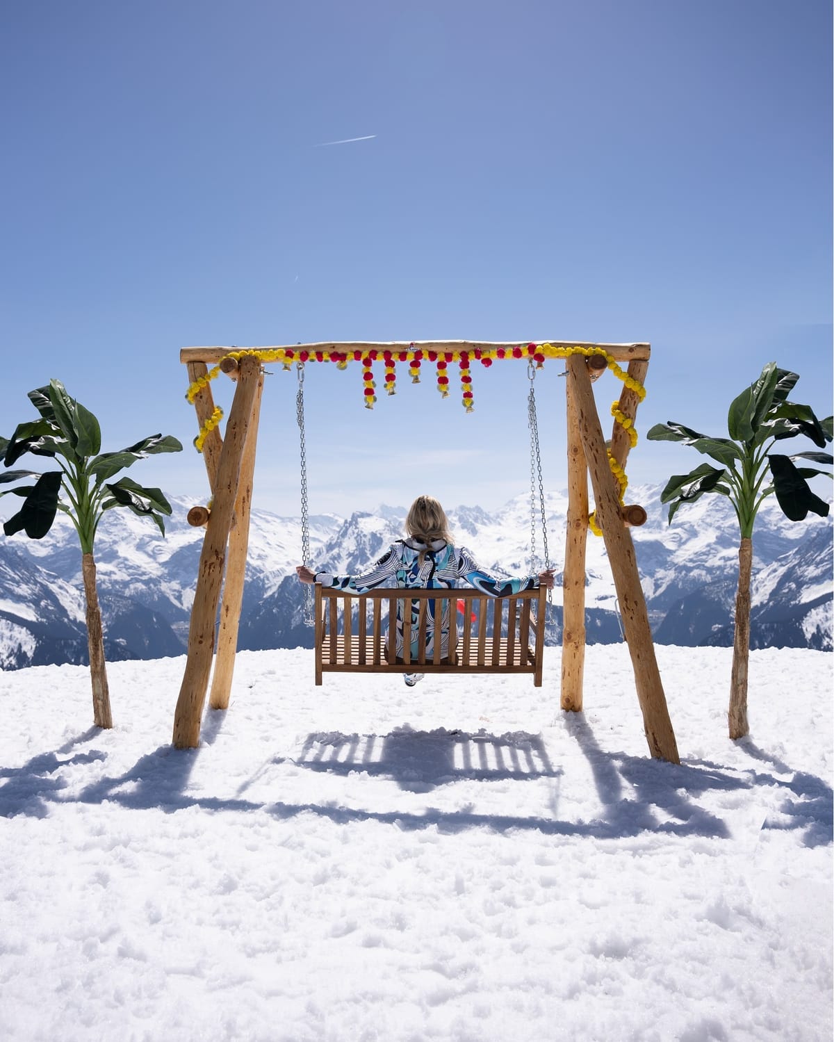
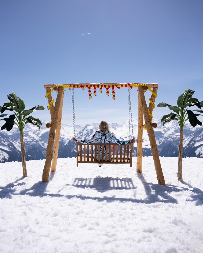
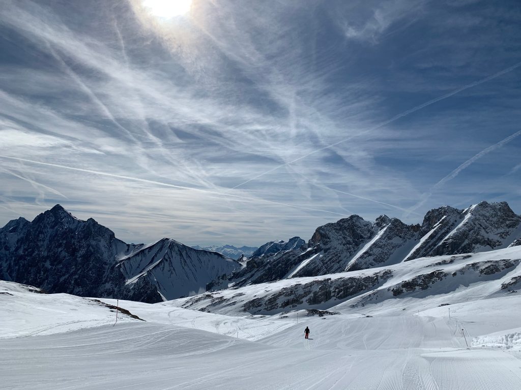
Much drier weather in Europe over the past seven days with clear skies the dominant feature and few snow showers to report. Hundreds of ski areas that stayed open for the Easter weekend ended their seasons on Sunday or Monday and we’re really into the final weeks of winter now at the few hundred areas still operating. As you might expect most of those that are open are either in the north of the continent, up in Scandinavia, where it remains close to freezing at more northerly centres, or have slopes above 2000m where the snow is deep enough to survive the thaw for a while longer and the thaw is slowed by lower temperatures at these altitudes. The freeze-thaw conditions though mean things are best in the mornings here.
AUSTRIA
AUSTRIA REPORT There was some fresh snowfall on higher slopes in Austria on Saturday, breaking up a largely sunny seven days. With temperatures in valleys in the +10 to +20C range over the past week, what precipitation there was fell as rain lower down. But it was a few centimetres of snow on glaciers, which are now coming into their own with most of the country’s ski resorts closing after the Easter weekend, except for higher resorts with a strong snowfall record like Ischgl and Obertauern (120/180cm / 48/72”), which are staying open to the start of May. Year-round Hintertux (20/305cm / 8/122”) has the deepest snow in the country but the other glaciers have only a few centimetres less.
AUSTRIA FORECAST Largely sunny with some light clouds for much of Austria over the next few days, temperatures reaching +10C at 2000m, +20C in alpine valleys. Cooler with the chance of snow showers on glaciers at the weekend.
SWITZERLAND REPORT A few dozen Swiss ski areas remain open after the Easter weekend, most with greatly reduced terrain available on higher slopes. Glacier 3000 (5/200cm / 2/80″) near Gstaad opened its lifts and slopes early at 8 am to make the most of the good weather over Easter. As with the rest of the Alps, the weather over the past week has been generally warm and sunny, with a few scattered showers, falling as light snow on glaciers. Engelberg (0/300cm / 0/120”), where there’s still a month of the season left, continues to post the country’s deepest base up on its Titlis glacier. Verbier (5/90cm / 2/36”) reports around 200km of slopes still open, one of the largest areas still open in the country. It also plans to stay open to 1st May.
SWITZERLAND FORECAST Not much changing in the forecast, with warm temperatures (15-20C) in valleys and sub-zero up above 2500m altitude. It is looking more changeable though with the chance of light snow showers towards the weekend up high.
FRANCE REPORT A warm and sunny week in France with temperatures getting into the 20s Celsius at resort level in the southern French Alps and climbing above freezing in the afternoons even on the highest slopes. Most of the country’s ski areas are now closed but several dozen are staying open to the end of this week when we’ll have again to the end of the month and a few including Val Thorens (140/190cm / 56/76”) and Tignes (103/220cm / 41/88”) are aiming to be the last still open to 8th May. Unlike the other ‘big four’ alpine ski nations there’ll then be nowhere open in France for three weeks until Les 2 Alpes (50/165cm / 20/66”) re-opens on the final weekend of the month for summer skiing.
FRANCE FORECAST The temperature is going to dip down to some extent for the rest of the week with sub-zero day and night above about 2000m and highs of 10C, half what they were at the weekend, at lower elevation. More cloud is likely between sunny spells.
ITALY REPORT A largely warm and sunny week in the Italian mountains too. Some areas saw snow flurries high up on Saturday but typically temperatures reached +15C around 1000m and even +10C at 2000m so fast thawing was the order of the day. Only the highest slopes at 3000m like up at the Presena Glacier (20/250cm / 8/100″) stated close to freezing. It should be the last Italian area still open until mid-May when all will be closed until Passo Stelvio opens for summer skiing at the start of June. As with all northern hemisphere ski areas most Italian ski areas are now closed with Easter weekend behind us. Of those still open Cervinia (15/145cm / 6/58”) has by far the most terrain still open, although a sizable chunk of it is on the Swiss side of the border.
ITALY FORECAST There’s actually a little snowfall in the forecast up high over the next few days, rain at lower elevations. These will be showers more than something more set-in. Temperatures will dip but are still well above freezing at most elevations.
GERMANY REPORT Just a couple of ski areas remain open in Germany after the Easter weekend, each with just a small amount of terrain still skiable. They include Oberstdorf (0/100cm / 0/40”) with some skiing still in the Bebelhorn sector and the country’s highest slopes on the Zugspitze glacier. Both centres are aiming to stay open to the start of May. The weather has been fairly favourable, staying around freezing to +5C at 2000m, below freezing up at 3000m. It’s been largely dry and often sunny.
GERMANY FORECAST Cloudier and a little cooler to end the week with the possibility of some rain/snow showers into the weekend.
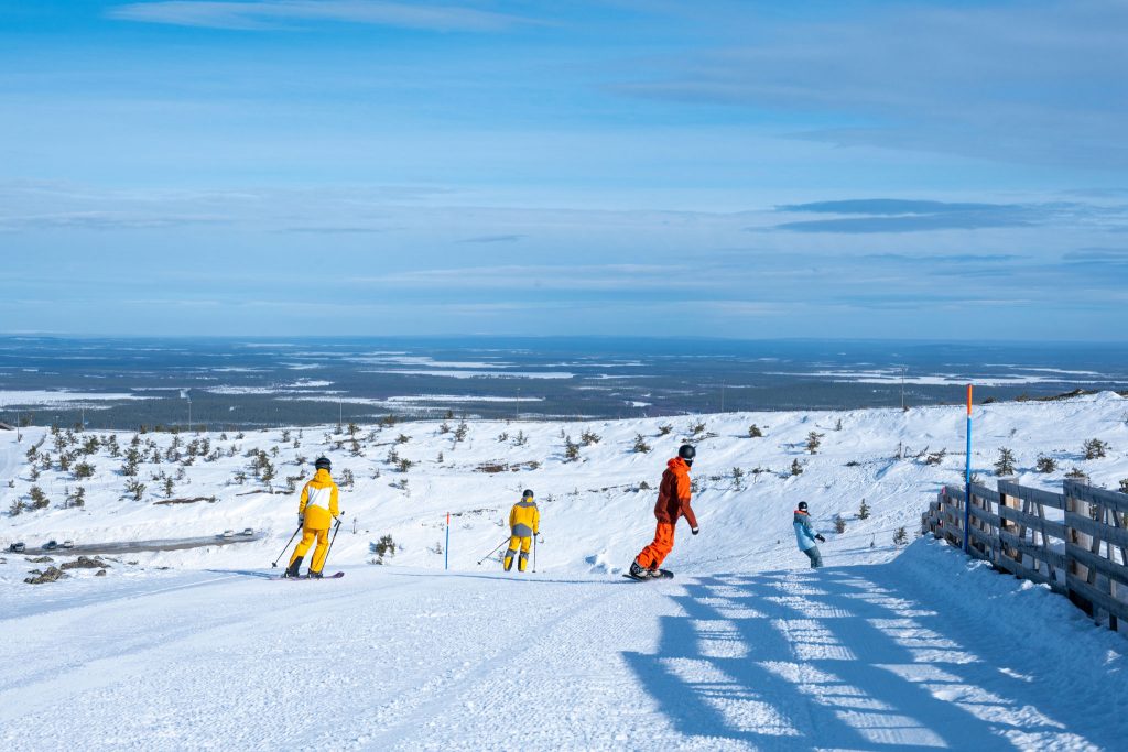
SCANDINAVIA REPORT Scandinavia is usually a good choice for April skiing and for much of the region, 2022 is proving no exception with some good snowfalls a week ago followed by some smaller top-ups and, crucially, temperatures staying low compared to most areas to the south in Europe so that fresh snow holds up better for longer. Ski areas in the region have been reporting temperatures a few degrees either side of freezing. Far more remain open here than in the rest of the northern hemisphere (90% of larger centres were for Easter weekend, compared to 20-30% in most leading ski nations in Europe and North America) and it has been sunny with long daylight hours too! Myrkdalen (150/280cm / 60/112”) near Voss, open to May 1st, reports the region’s deepest base.
SCANDINAVIA FORECAST Sunny weather and climbing temperatures are signalling the end of the season approaching even for some of the most determined Finnish, Norwegian and Swedish ski centres. Daytime highs at Are, the region’s largest centre open until May 1st, may get +15C at the base over the next few days and +5 to +10C higher up.
SCOTLAND REPORT Temperatures were very warm in Scotland over the past week and although a few small snow showers were reported up high, the fast thaw of the thin base from March meant the Cairngorm ski area above Aviemore had to give up on the season just before Easter. This appears to leave only Glencoe operating, although closed other than the access chair for ski tourers until Thursday this week. It then plans to open for the end of this week and long weekend and review whether to open again after that depending on snow cover and ticket sales. Currently, conditions are best on the upper mountain.
SCOTLAND FORECAST Staying well above freezing on all but the highest slopes with temperatures typically in the range of +5 to +15C at lower elevations. Usual Scottish mix of sunshine and cloud, rain and wind.
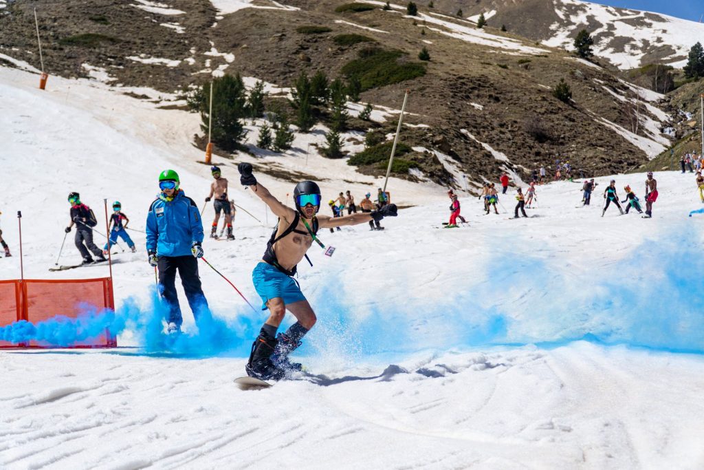
SPAIN / ANDORRA REPORT It’s the end of the season for most ski areas in the Pyrenees too. Several resorts had swimsuit ski sessions at the weekend as part of the season-end festivities. The past week has been largely warm and dry, temperatures of 5-10C up high, double that in valleys. Not quite everywhere is closed though, La Molina/Masella (20/75cm / 8/30″) plan to stay open through to May 1st and currently reports about a third of their terrain still open. Over the border in France, Cauterets (180/290cm / 32/116”) has the deepest base of the still-open centres in the region, although the season there is due to end on Sunday.
SPAIN / ANDORRA FORECAST It is looking a little cooler and more unsettled for the remainder of the week with showers and snow up high a possibility.
BULGARIA / ROMANIA REPORT Most ski areas in Bulgaria and Romania have now closed for the season. Ironically, the region is back to pretty cold weather for the time of year with low temperatures and snow showers. Romania’s Sinaia has been staging a rare national snowboarding competition featuring the first Banked Slalom competition in a hybrid format in Romania. The event brought to the start gate both members of the Romanian National Paralympic Snowboard Team and abled-bodied top-level athletes, coaches, experienced snowboard instructors, and snowboard lovers. Serbia’s main resort of Kopaonik has announced it will re-open for the next few weekends through to May 3rd.
BULGARIA / ROMANIA FORECAST Quite a range in temperatures from 10 degrees above freezing to 10 degrees below up high. Snow showers should die out and clear skies to end the week and through the weekend.
CZECH REPUBLIC / SLOVAKIA REPORT The Carpathian and Tatra mountains have had slightly cooler weather than the seasonal average for this point in the year at times over the last seven days but the general direction is, as everywhere in the northern hemisphere, the onslaught of spring and the closure of centres after Easter, there are now about a dozen still open in the Czech and Slovak Republics. The weather though has been much colder with occasional snow showers with subzero temperatures on higher slopes, only +4-8C in the valleys. Jasna (30/70cm / 12/28”) still has the largest ski area open in the region with 20km of slopes skiable but plans to end its season this coming weekend. Tatranská Lomnica (40/50cm / 16/20”) may be the last centre still open in the region next month, it currently has about 5km of slopes still skiable but has set a target of mid-May for its season end.
CZECH REPUBLIC / SLOVAKIA FORECAST Staying cool and cloudy in the mountains and still in the +5-+10C bracket down in the valleys, looking sunnier in the long-range forecast at the weekend.
NORTH AMERICA
NORTH AMERICA INTRO The Pacific Northwest has continued to see the most snowfall in North America with some particularly significant accumulations considering we’re into the latter half of April, some resorts seeing as much as six feet (1.8m) of snowfall. There’s been significant snowfall too in the Rockies, the Sierras and parts of the Midwest giving a final powder blast for the ski areas that are still open. There are 50 or so resorts that are, across the continent, after most that had still been open ended their seasons after the Easter weekend.
ROCKIES REPORT The Rockies have had a good week for snowfall as more of the region’s ski areas closed, leaving a dozen or so still operating for the final week or two of April. Accumulations of 12-24″ (30-60cm) were widely reported over the last seven days. In Colorado, Winter Park Resort (36/81″ / 90/203cm), which has not yet announced its closing date, reported 20″ (50cm) of snowfall in 48 hours. Breckenridge (24/66″ / 60/167cm), one of those continuing on into May, and indeed staying open all of next month, has announced the resort has moved to late spring operations meaning that Peaks 9 and 10 have closed for the season and skiing and riding is now restricted to Peaks 6, 7 and 8 as long as weather and conditions permit.
ROCKIES FORECAST The snowy weather looks set to ease over the coming week with sunshine returning. Temperatures getting into the 50s at resort level, 40s on higher slopes.
USA WEST REPORT The Pacific Northwest set snowfall headlines in North America over the past week with ski areas in the region reporting up to 63 inches (157cm/over five feet) of snowfall in as many days, the biggest accumulations since December. This was part of extremes of weather which also saw very strong winds at times and ain at lower elevations. There was cold weather and snowfall too at other points along the Pacific Coast, including up in Alaska, where Alyeska (40/192″ / 100/480cm) continues to post one of the world’s deepest bases and plans to stay open weekends to mid-May. Ironically, given the dry past three months, California to the south has had rather a good week for snowfall too, with light falls building to heavier accumulations at the end of the week. Palisades reported snow right down to the Lake Tahoe shore and about a foot (30cm) on its lower slopes, nearly double that up high. But there were also gales which impacted Easter lift operations across the state’s still open slopes. Ski areas on Mt Hood, in Oregon, posted the heaviest snowfall and are now the deepest bases on the continent including Mt Hood Meadows (144/183″ / 361/457cm) and Timberline (173/196″ / 432/490cm). The latter is now in great shape for the start of the coming summer ski season.
USA WEST FORECAST Temperatures look set to stay close to or well below freezing with more snow forecast in the north and west of the region.
MIDWEST REPORT North Dakota appeared to be the best place to be for fresh snow in the Midwest this past week with (very unusually) a huge dump of up to 30″ (75cm) of snowfall reported on the northern plains there this past week, making weather headlines in the US. Unfortunately, the state’s four small ski areas had already moved to summer operations. A couple of midwestern areas in Michigan and Minnesota are still open, targeting remaining so to the end of the month, however. Indianhead Mountain (17/17″ / 42/42cm) is open daily and Lutsen Mountains (36/48″ / 90/120cm) and Mount Bohemia (60/60″ / 150/150cm) at weekends. These all report temperatures down near freezing and a few inches of snowfall.
MIDWEST FORECAST There’s no real sign of the weather switching to the summer mode that most ski areas in the Midwest have switched too. More snow is forecast for Michigan and other states in the region over the coming days.
USA EAST REPORT Some challenging weather at the end of last week, again, for the remaining Northeastern US ski areas still open. There were warm temperatures and some rain at the end of last week. Temperatures have been yo-yoing up and down almost by the day, close to freezing one day then in the high 40s or low 50s the next. So some snow showers in the cold spells and high up, but rain lower down. Killington, aiming to keep its Superstar trail open to late May, reported 4” (10cm) of fresh snowfall on Sunday. Sunday River (20/40” / 50/100cm) is into the final few days of the season. It’s the only ski area still posting a 40-inch base and has about a quarter of its terrain still open.
USA EAST FORECAST The yo-yoing weather doesn’t look to be going away any time soon. Sunny midweek but precipitation is on the way to end the week which looks like it’ll be falling as rain for many.
CANADA
CANADA WEST REPORT A cold and snowy week in Western Canada with plenty of fresh snowfall for Alberta and BC so it’s unfortunate that so many ski areas in the region have now closed. Temperatures have barely gotten above freezing and it has kept snowing on and off all week. Still open areas include North America’s largest, Whistler Blackcomb (20/275cm / 8/110”) in BC and in Alberta Marmot Basin (150/150cm / 60/60”), Lake Louise (160/250cm / 64/100”) and Sunshine (50/220cm / 20/88”), all reporting midwinter conditions and 90% or more of their slopes still open.
CANADA WEST FORECAST It’s currently looking a little warmer and dryer for the rest of this week with temperatures expected to get into low double figures Celsius at bases, although still not getting much above freezing in the alpine.
CANADA EAST REPORT Fairly stable weather for Eastern Canada with mostly sunny skies, temperatures ranging from a few degrees below freezing to +15C in the afternoons in the valleys in more southerly and easterly parts of the region. The majority of ski areas have now closed but a few are remaining open past Easter with an even smaller number aiming for May operations. Sommet Saint-Sauveur (35/45cm / 14/18”) is one of them, if the snow lasts.
CANADA EAST FORECAST Temperatures are set to climb with highs of 10 degrees even at altitude in the latter half of the week, so the showers forecast look like rain at all altitudes at present.
ASIA
JAPAN REPORT There was sad news from Japan after a ski lift company worker died at the country’s Gassan (900/900cm / 360/360″) summer ski area within 24 hours of its opening for its 2022 season at the weekend. The employee fell into a crevasse in the nine-metre (27 feet) thick snowpack. The centre was then closed for three days while the area was inspected and potentially dangerous sectors roped off, but re-opened at the weekend. Apart from this sad news, we’re into the final three weeks of the season for most of Japan’s larger ski areas staying open into May. Temperatures have been in the range of -5 to +10C, mostly dry weather, some rain and a little snow on peaks but a definite end-of-season feel overall. Bases are thawing quite fast but remain several metres deep in most areas.
JAPAN FORECAST Little change in the forecast for the week ahead. Temperatures getting gradually higher meaning the rate of thaw should slowly increase and the likelihood of precipitation being rain rather than snow even at high elevations is increasingly likely.


