Over 6ft (2m) of Snow Forecast for Pacific Northwest
A giant snowstorm current hitting the Pacific Northwest ofNorth America may deposit up to two metres of snow (over six feet) at some ski areas in Alaska, BC, Idaho, Oregon and Washington State by the start
Mt Baker in Washington State (pictured below), which, on average, posts the most snowfall of any ski area in the world each season (16.3m) and holds the all-time single-season snowfall record (29m in ’98-99) has received just over a metre of snowfall this week already, and there’s much more forecast.
It’s good news for the region which had a warmer than average Autumn, with little natural snowfall and temperatures too warm
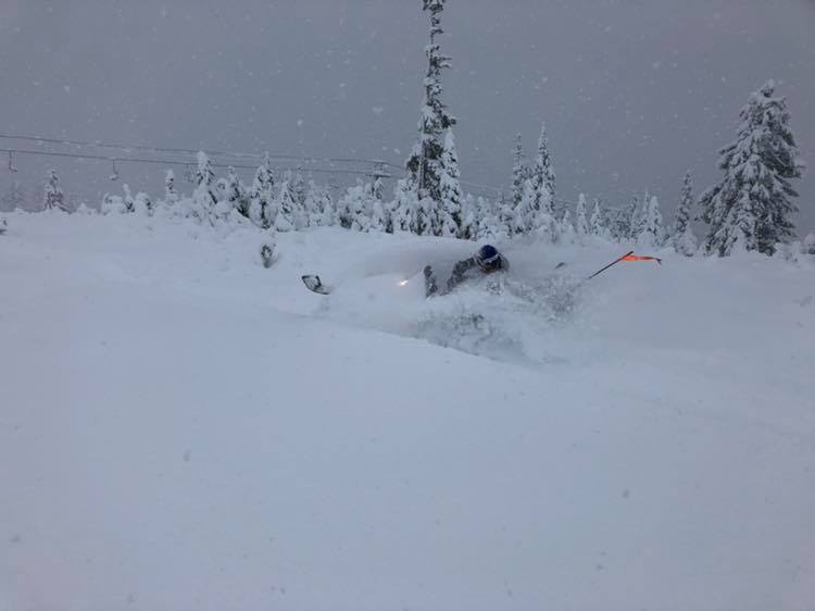
Lookout Pass in Idaho (pictured top) has posted the most snowfall in the world over the past three days with 84cm (33 inches). Good timing as the centre is open daily from today onwards.
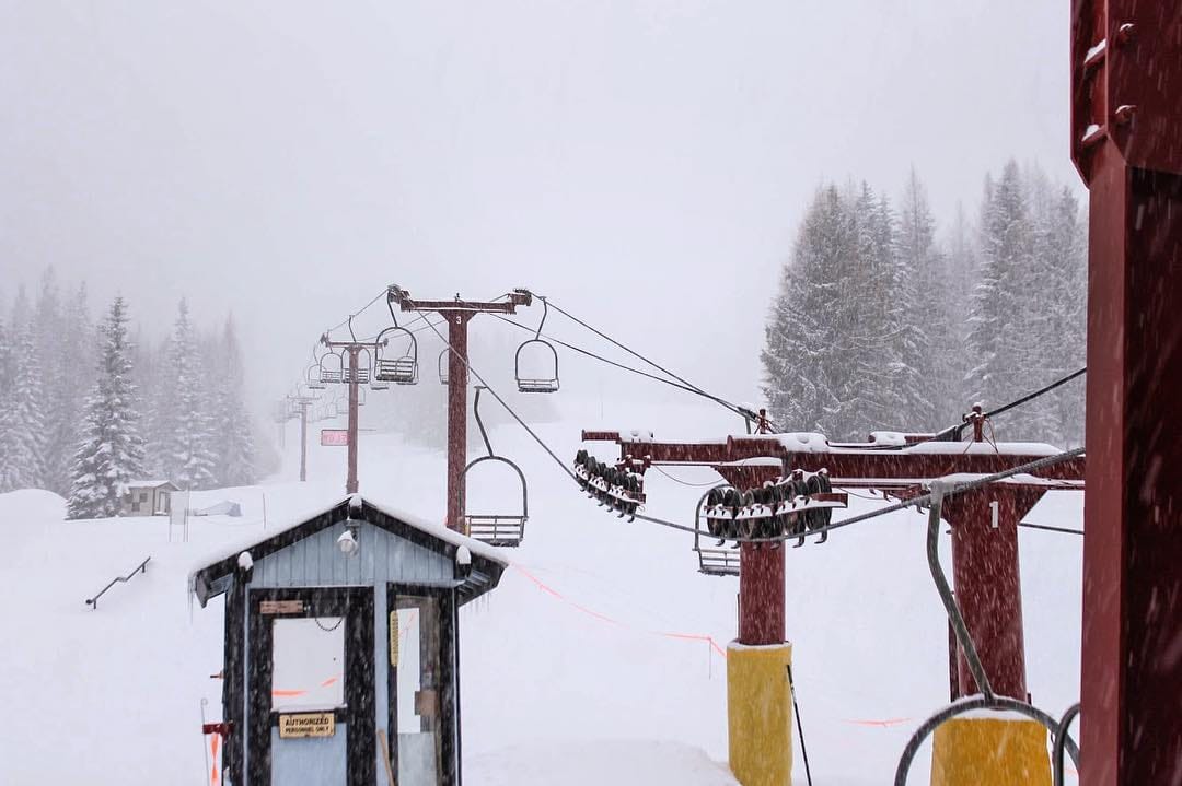
49 Degrees North in Washington State which has had 50cm of new snow in the last 24 hours is pictured top just as the storm got started.
The continent’s largest ski area Whistler Blackcomb to the north had been suffering, whilst other Vail-owned resorts down in Colorado were reporting their best season start in a decade and Breckenridge announcing it had opened all of its peaks on the earliest date ever, it was struggling to open much of its huge ski area until this week.
However the Whistler has had 76cm of snowfall this week and is forecast to get at least a metre more over the week ahead.
The jury is still out on just how the winter will shape up in the region. Last Canada’snational weather


