Perisher Hits 100% Operations as Australia Enjoys Best Winter in Years
Updated August 8, 2025: Chile’s Andes score up to a metre (40") of powder, Australia hits full operation, and Mt Hutt holds deepest Southern Hemisphere base. Read the full report here.
- Mt Hutt Holds Southern Hemisphere’s Deepest Snow at 158cm
- Chile Buries Slopes in Up to a Metre of Fresh Powder
- Argentina’s Cerro Castor Shines With 83% Terrain Open Despite Wet Snow Elsewhere
- Lesotho’s Afriski Gears Up for Snowy Winterfest Finale
SOUTHERN HEMISPHERE INTRO
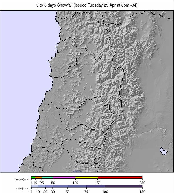
Parts of the Andes saw the much-anticipated snowfalls at the end of last week and through the weekend, with five-day accumulations of up to 90 cm (three feet) reported. However, unfortunately, it doesn’t seem to have had quite the transformative impact on Argentina’s poor 2025 season as hoped, with snowfall reported to be wet and heavy at times. Things are a little better, though, with a little more terrain open across the continent.
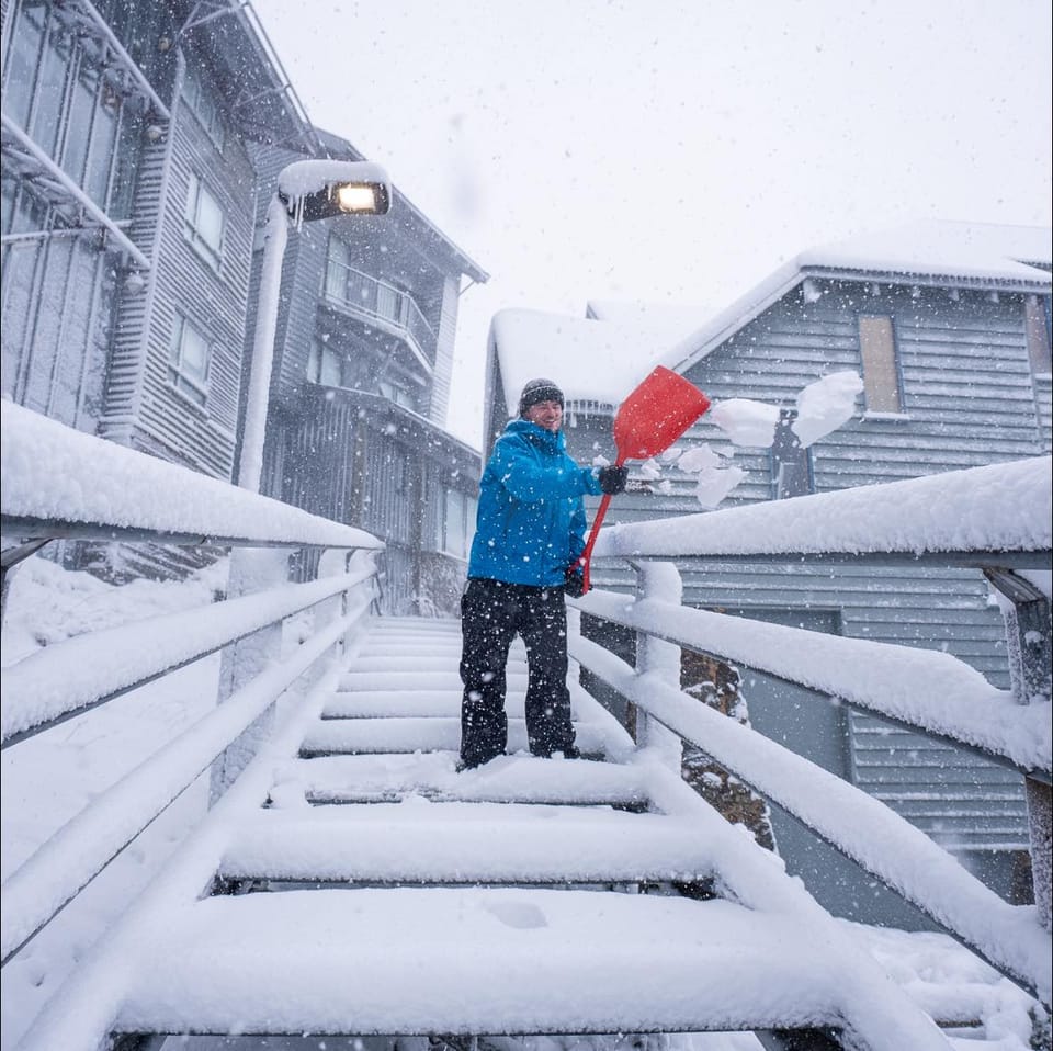
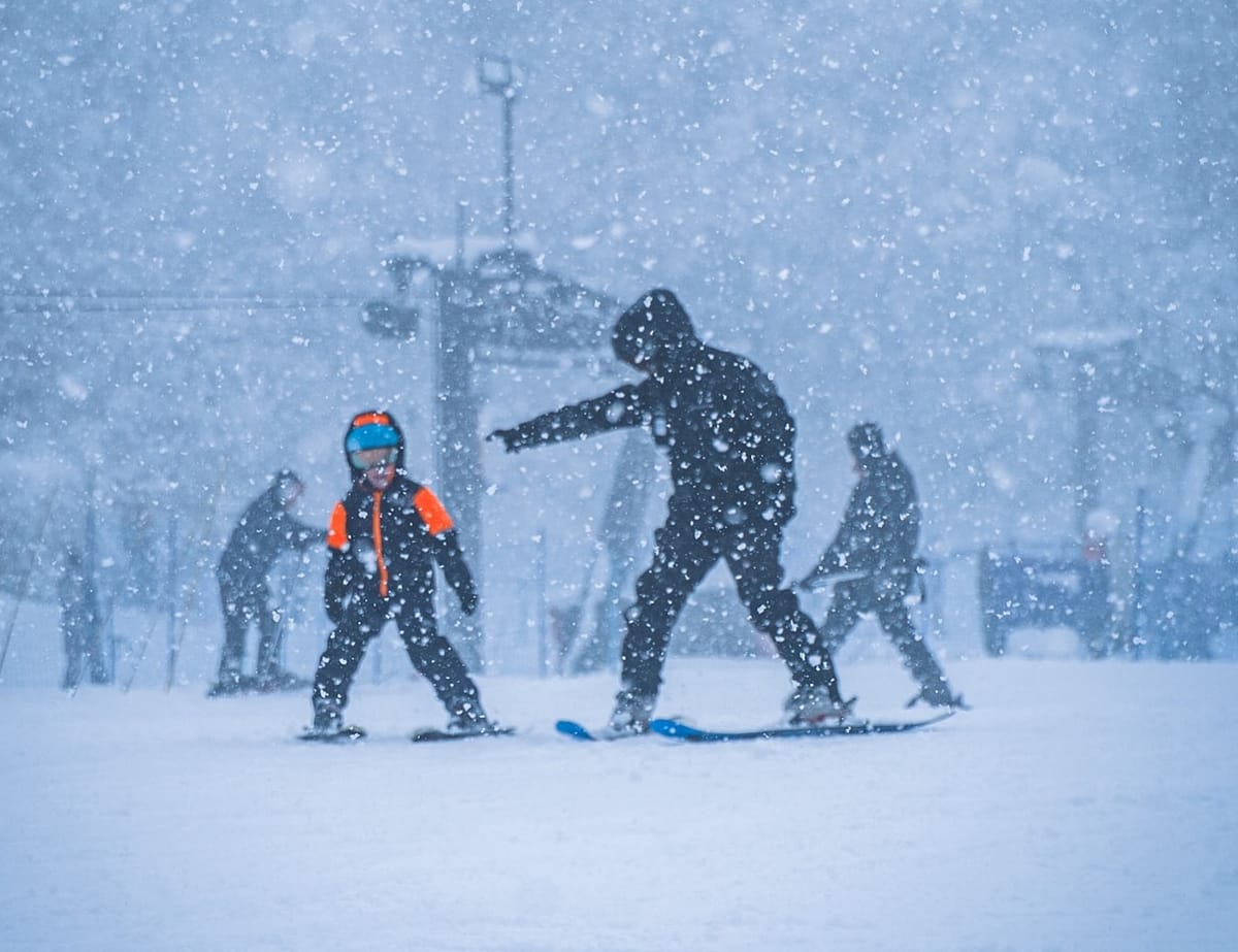
There have been similar stories from New Zealand, with some centres briefly closed by rain, sleet, and wet snow showers going into the weekend, but others seeing more consistent snowfall and better weather overall. After the big snowfall last week, Australian resorts have seen more snowfall at the start of this season and are posting some of the best conditions in years. The country is having, arguably, the best winter overall of the main southern hemisphere ski nations, although most ski areas in Chile have decent depths and most of their terrain open too.
AUSTRALIA REPORT
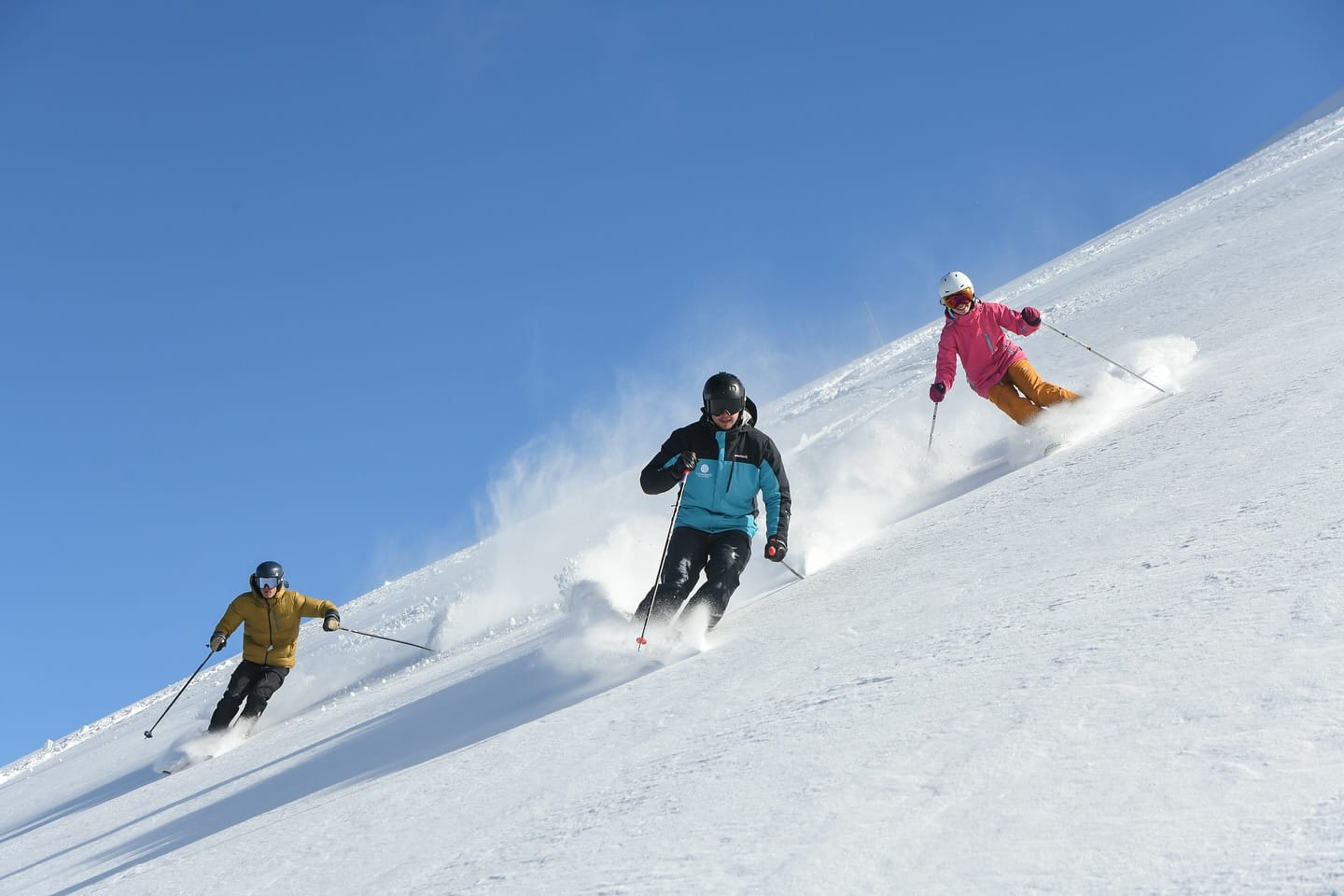
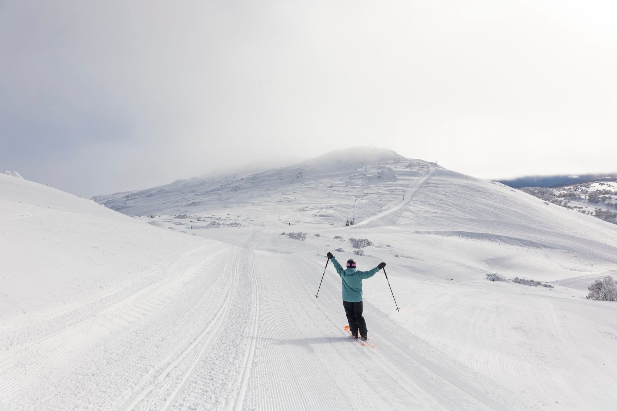
Australia’s great conditions continue with more weekend snowfall (and some wild winter weather at times) before the sunshine returned to start the week. After the big snowfalls last week, more areas are now fully open or close to it with metre (40") plus bases — very healthy numbers by Aussie standards. Australia’s, and by some measures the southern hemisphere’s, largest ski area, Perisher (80/120 cm / 32/48"), reports it is now 100% open. All 45 lifts there are now in full operation, unlocking more than 3,000 acres of terrain. Mt Buller (70/110 cm / 28/44”) also reports every lift is spinning, whilst Mt Hotham (58/121 cm / 23/48”), also with all lifts turning and 96% of its terrain open, has edged just ahead of Thredbo (65/120 cm / 26/48”) for having the deepest snowpack in the country — although all the larger areas are within a few centimetres of each other on upper snowpack depth.
AUSTRALIA FORECAST
The sunshine is expected to continue for the remainder of this week. Overnight lows on high terrain are getting down as far as -7 °C, with daytime highs around +5 °C at lower elevations.
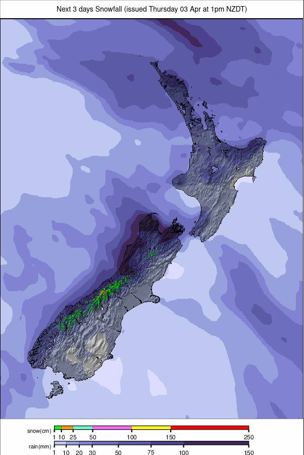
NEW ZEALAND REPORT
New Zealand’s ski season is holding strong on the South Island as early August delivers a mix of more fresh snowfall and settled conditions. Over the past three days, snowfall has been modest but widespread, with several resorts reporting light top-ups and, in most cases, resulting in firm, skiable bases. The news isn’t all good, though. Treble Cone (38/82 cm / 15/32") was temporarily closed going into the weekend after a front brought wet weather before things turned more wintry, damaging the snowpack. North Island resorts reported a similar scenario and continue to need more snow cover. Mt Hutt (117/158 cm / 46/62") in the Canterbury region remains a standout with the country’s deepest cover — the deepest in the southern hemisphere still, in fact — and pretty much everything open, with conditions reported to be excellent for midwinter skiing. Nearby Porters (70/100 cm / 28/39") and Mt Lyford (5/25 cm / 2/10") saw light accumulations — up to 11 cm at Lyford — under intermittent snow showers.

Further south in the Mackenzie Basin, Mt Dobson (55/65 cm / 22/26") and Ohau (80/90 cm / 31/35") are reporting solid snowpacks, with cold weather preserving surface quality. In Queenstown and Wanaka, the story is similar: Coronet Peak (15/90 cm / 6/35") and The Remarkables (33/103 cm / 13/41") have had some fine weather to start the week, with groomers keeping trails in top shape. Cardrona (45/80 cm / 18/31") remains fully open, offering machine-groomed terrain and reliable coverage. As mentioned on the North Island, Mt Ruapehu’s Whakapapa (30/36 cm / 12/14") and Turoa (40/55 cm / 16/22") fields are open but operating with very limited terrain.
NEW ZEALAND FORECAST
Milder, mostly dry conditions are forecast across New Zealand’s ski fields midweek. Skies will be partly cloudy with light winds, ideal for maintaining the current snowpack. From Friday, precipitation is forecast across both islands, with gusty winds and cooler temperatures. Freezing levels may remain high, though, which could impact snowfall.
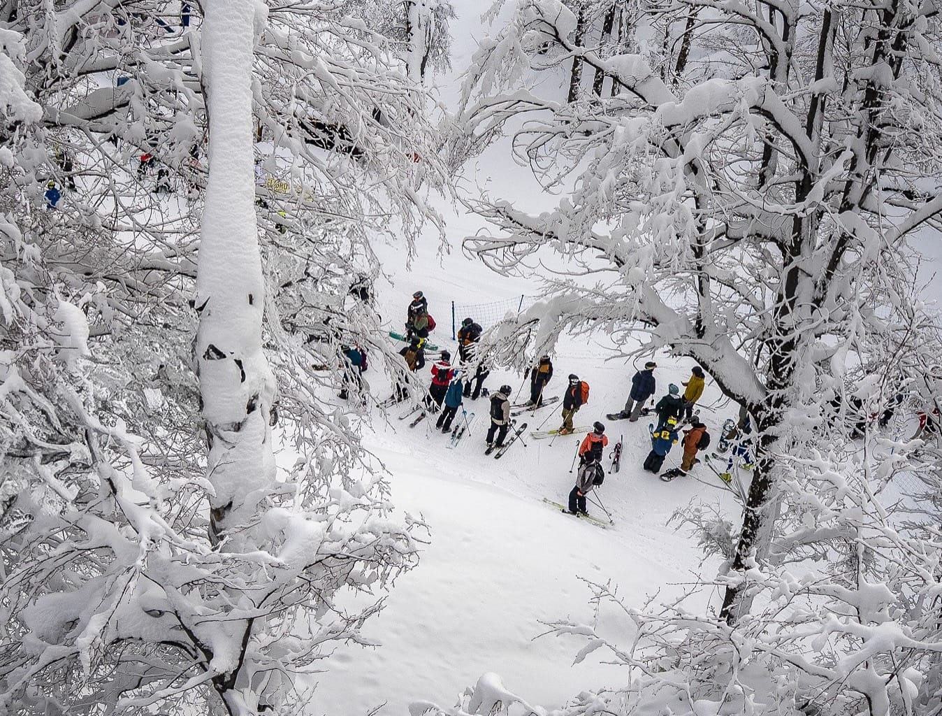
ARGENTINA REPORT
The hoped-for big transformation for the better in Argentina’s lacklustre 2025 ski season didn’t really materialise as hoped over the past week. The big snowfall forecast did not add up to the volumes predicted, and the snow that did arrive was heavy, wet stuff on the whole. The continent’s (and the southern hemisphere’s) largest resort, Cerro Catedral (10/30 cm / 4/12"), continues to post less than 10% of its slopes open and a thin base. The best conditions are down in the south, where Cerro Castor (65/90 cm / 26/36") near the world’s most southerly city of Ushuaia has packed powder on its slopes and reports 83% of its terrain open — by far the best in the country. Things are improving at Las Leñas (32/68 cm / 13/27"), which now reports nearly half its terrain open. Cerro Bayo and Caviahue are also reporting fresh snow, which closed Caviahue’s slopes for a time last week. Cerro Catedral and Chapelco have had lighter snow recently and report machine-groomed wet snow surfaces and limited terrain open.
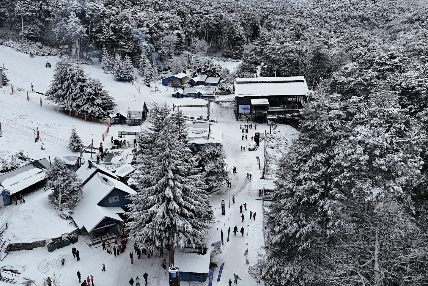
ARGENTINA FORECAST
Conditions started to return to sunnier weather for much of Argentina at the start of the week, and that looks set to be the predominant weather for the latter half of the week. Overnight lows on higher ground are towards -6 °C, but daytime highs at lower elevations are up as high as +9 °C.
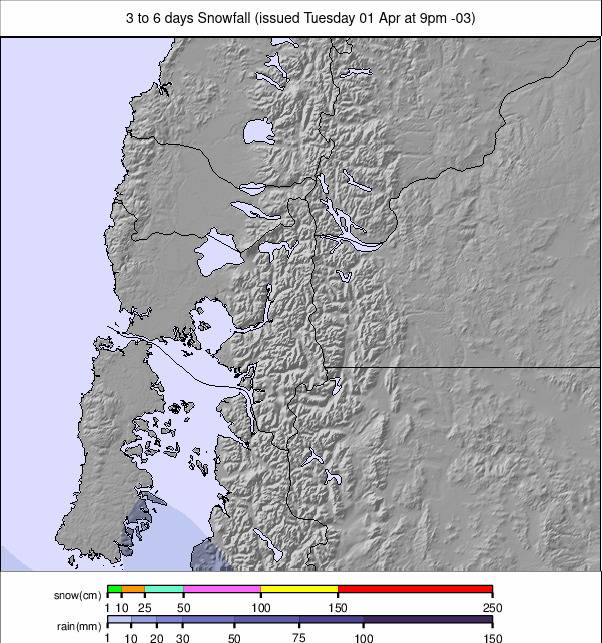
CHILE REPORT
Conditions have improved across Chile’s major ski areas, which have seen heavy snowfall, with Portillo (54/160 cm / 21/63") and Nevados de Chillán (50/120 cm / 20/47") leading the charge in terms of depth — among the deepest in the southern hemisphere right now. Chile’s central Andes saw a potent storm cycle move through in the latter half of last week, and much of the country’s mountainous region is looking like a winter wonderland at present with deep, fresh snow cover. Portillo picked up several feet (60 cm) of light powder over the weekend for a seven-day total of 70 cm. Valle Nevado (20/90 cm / 8/35"), La Parva (35/125 cm / 14/49"), and El Colorado (30/125 cm / 12/49") also saw 40–60 cm (16–24") of dry, skiable snow, with peak accumulation on Friday/Saturday when the snow was noted as particularly low water content, producing especially light powder. Further south, Nevados de Chillán was the big winner, with close to a metre (40") of snowfall recorded over the weekend. However, the storm there began with heavier, wetter snow, although that did shift to colder, fluffier conditions. Corralco (40/70 cm / 16/28") saw around 30 cm (a foot) of new snow, with quieter slopes preserving fresh tracks longer.
CHILE FORECAST
Light to moderate snow is forecast midweek in the Central Andes, with occasional snow showers continuing into the weekend. Accumulations may range from 5–20 cm (2–8"), depending on elevation and storm intensity. In the Southern Andes, areas may see more consistent snowfall, especially Thursday into Friday, with totals potentially exceeding 20 cm (8") in higher zones.
LESOTHO REPORT
Lesotho’s Afriski (10/20 cm / 4/8”) continues to report its slopes fully open as it moves towards the final weeks of its 2025 season, which will culminate with its big Winterfest celebrations at the end of the month. For now, the 1.8 km-long main run remains complete under sunny skies. Winterfest, running from 30 August to 1 September, is Southern Africa’s only music festival held in genuine snow, combining skiing, snowboarding, and live performances in Lesotho’s Maluti Mountains.
LESOTHO FORECAST
The almost constant sunshine is set to continue for the week ahead, with temperatures moving between lows down as far as -8 °C to highs of +8 °C through the 24-hour daily cycle.